 ReddRadar
Top AI tools for Urban Planner
-
 Population.io Explore global population statistics and personal demographic insights
Population.io provides interactive tools to analyze world population data and calculate personal demographic rankings based on birthdate and location.
- Free
-
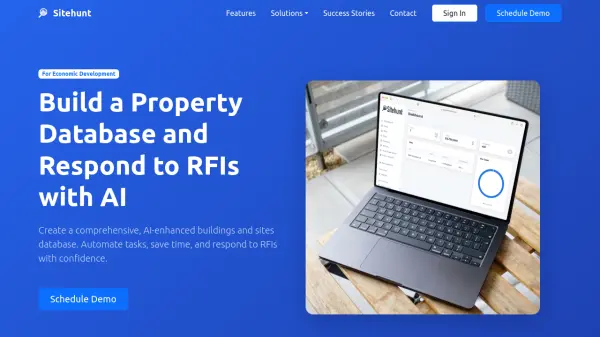 Sitehunt Build a Property Database and Respond to RFIs with AI
Sitehunt provides an AI-enhanced property database and RFI automation platform specifically designed for economic development professionals to streamline workflows and respond to requests efficiently.
- Contact for Pricing
-
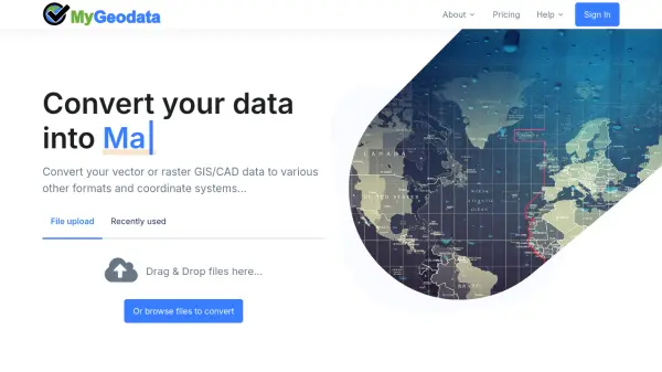 MyGeodata Converter Convert GIS and CAD data online with ease
MyGeodata Converter is an online tool for converting vector and raster GIS/CAD data between various formats and coordinate systems. It supports bulk conversions, CAD formats, and Google Earth output.
- Freemium
- From 10$
-
 Pelias Geocoder A modular, open-source search engine for our world
Pelias is an open-source geocoder that transforms addresses and place names into geographic coordinates and vice versa, powered by open data and built on Elasticsearch for fast global search.
- Freemium
-
 Vector2Raster Tiles Convert Vector Tiles to Raster Tiles Effortlessly
Vector2Raster Tiles automates the conversion of PBF vector tiles to raster formats, facilitating integration with mapping applications that require raster tile support.
- Paid
- From 5$
-
 CivilGEO Advanced Stormwater and Civil Engineering Software Solutions
CivilGEO offers advanced software tools for rapid design, analysis, and review of stormwater and HEC-RAS models, streamlining engineering workflows for urban and rural environments.
- Contact for Pricing
-
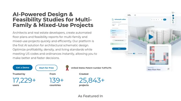 ARK AI-Powered Design & Feasibility Studies for Multi-Family & Mixed-Use Projects
ARK is an AI-powered platform for architects and real estate developers that automates floor plan generation and feasibility reports for multi-family and mixed-use projects, optimizing for profitability and code compliance.
- Freemium
- From 199$
-
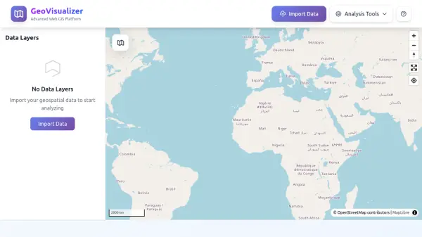 GeoVisualizer Advanced Web GIS Platform for Spatial Data Analysis
GeoVisualizer is an advanced web GIS platform that allows users to import, analyze, and export geospatial data with a variety of spatial analysis tools including buffer analysis, dissolve, centroids, grid generation, and more.
- Free
-
 Runopt AI-powered software for land development delivering cost-effective, sustainable designs in minutes.
Runopt is an AI-powered software transforming land development by integrating design optimization for cost-effective, sustainable designs. It streamlines site analysis, grading, drainage, and reporting for civil engineers and developers.
- Contact for Pricing
-
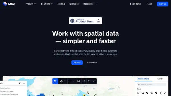 atlas.co Work with spatial data — simpler and faster
Atlas is a browser-based GIS platform designed to simplify the visualization, analysis, and building of spatial data workflows and web applications.
- Freemium
- From 23$
-
 HotCiti AI-Powered Town Discovery
HotCiti is an AI-powered platform that helps users find and explore US towns based on their preferences, providing comprehensive reports with real-time data from Google Maps and Places.
- Other
-
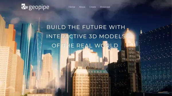 Geopipe Build the Future with Interactive 3D Models of the Real World
Geopipe uses AI to create interactive 3D models of real-world environments from sensor data. Stream vast digital twins directly into Unity, Unreal Engine, or download as 3D meshes for simulations, gaming, and VR experiences.
- Contact for Pricing
-
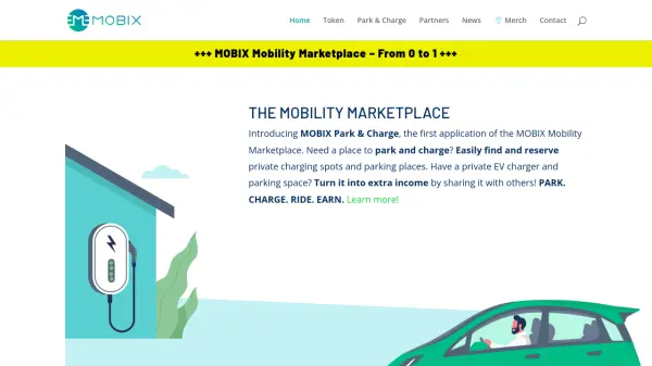 MOBIX Mobility Marketplace Seamless EV Charging and Parking with AI-powered Rewards
MOBIX Mobility Marketplace connects drivers to public and private EV charging stations, offering easy reservations, seamless payments, and eco-friendly mobility rewards powered by AI agents.
- Free
-
 Garudalytics Solving real-world challenges using GeoAI.
Garudalytics provides Geospatial AI (GeoAI) solutions, extracting insights from location data to address challenges across various sectors.
- Contact for Pricing
-
 Maket Democratizing architecture with generative AI
Maket is an AI-powered platform that automates residential floorplan generation, enables style exploration, and provides regulatory guidance for architecture and design projects.
- Freemium
- From 30$
-
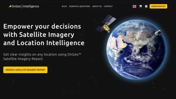 OnGeo Intelligence Empower your decisions with Satellite Imagery and Location Intelligence
OnGeo Intelligence provides AI-enhanced satellite imagery reports with global coverage, delivering clear PDF insights and data packages for various professional applications without requiring technical skills or subscriptions.
- Pay Once
-
 Parknav The most precise parking solution powered by AI
Parknav utilizes AI and big data to provide real-time on-street and off-street parking availability predictions and restriction information across over 1000 cities.
- Freemium
- From 5$
-
 Dassault Systèmes Virtual Worlds for Real Life
Dassault Systèmes provides businesses and people with virtual universes to create sustainable products and services. Leveraging virtual twin experiences, the company drives innovation across various sectors.
- Contact for Pricing
-
 EOfactory Actionable geo-intelligence to ensure sustainability
EOfactory provides actionable geo-intelligence solutions using AI and ML for various industries, focusing on sustainability and science-based decisions. Access satellite imagery, process data, and visualize insights through custom dashboards.
- Free Trial
-
 12d Synergy ISO 19650 Compliant Common Data Environment for Engineering and Construction
12d Synergy provides a streamlined Common Data Environment (CDE) for engineering and construction, enabling efficient document, email, and data management for all project stakeholders.
- Contact for Pricing
-
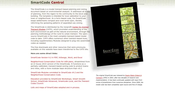 SmartCode Transect-based planning and zoning for sustainable development
SmartCode is an open-source, transect-based model code for planning and zoning that promotes compact settlements and preserves rural lands, addressing scales from region to building.
- Free
-
 TextMarks SMS Platform for Transit Agencies
TextMarks provides a fully-hosted SMS solution for transit agencies to deliver real-time passenger information and alerts via text messaging, accessible on any mobile phone without requiring apps.
- Contact for Pricing
-
 FixMyStreet Mapping and reporting street problems to the councils responsible for fixing them – anywhere in the UK.
FixMyStreet is a UK-based platform that enables citizens to report local street problems like potholes, graffiti, and fly-tipping directly to their local councils, with over 34,000 reports weekly and 42,000 issues fixed monthly.
- Free
-
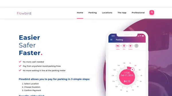 Flowbird Easier, Safer, Faster Parking Payments
Flowbird is a mobile and web app that enables users to pay for parking digitally in three simple steps: select location, choose duration, and confirm payment, eliminating the need for cash or physical meters.
- Other
-
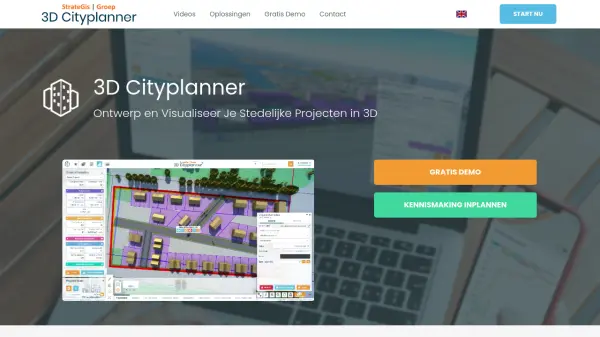 3D Cityplanner Design and Visualize Urban Projects with Smart 3D Planning
3D Cityplanner enables professionals to design, analyze, and visualize urban development projects using advanced data layers and AI-powered planning tools within a detailed 3D environment.
- Freemium
-
 Switch AI-Powered Fleet Operations & Urban Mobility Planning
Switch leverages advanced AI technologies to optimize fleet operations, demand forecasting, and infrastructure planning for urban mobility stakeholders.
- Contact for Pricing
-
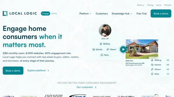 Local Logic Location Intelligence That Drives Home Consumer Engagement
Local Logic is an AI-powered location intelligence platform that provides rich neighborhood insights and data-driven tools for real estate professionals to engage home consumers, generate leads, and enhance digital experiences.
- Other
- From 20$
-
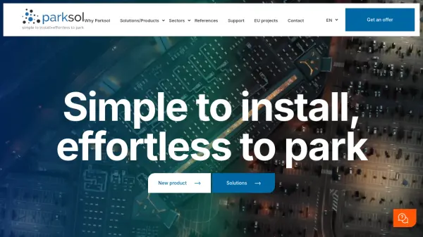 Parksol Simple to install, effortless to park
Parksol provides comprehensive parking management solutions including guidance systems, counting, signage, and monitoring software for various sectors worldwide.
- Contact for Pricing
-
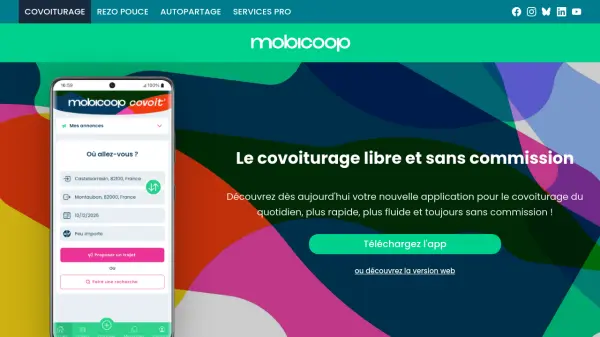 Mobicoop The commission-free, cooperative carpooling platform
Mobicoop is a free, commission-free carpooling service built on open-source software and cooperative principles, offering daily carpooling without fees or advertisements.
- Free
-
 Parking Logix Solutions for Safer, Smarter Parking Lots
Parking Logix provides AI-powered parking solutions including occupancy detection, real-time space guidance, data analytics, and wayfinding tools to optimize parking operations and enhance driver experience.
- Contact for Pricing
-
 PAM Transform Complex Spaces into Seamless Destinations
PAM is a cloud-based digital wayfinding platform that integrates navigation, customer experience, and operational management for large, complex environments such as stadiums, airports, campuses, and smart cities.
- Contact for Pricing
-
 FlyPix AI Geospatial AI Platform for Analyzing Earth's Surface
FlyPix AI is a geospatial analysis platform that uses AI to detect and analyze objects in images. Train custom AI models and analyze geospatial data tied to coordinates.
- Freemium
- From 50$
-
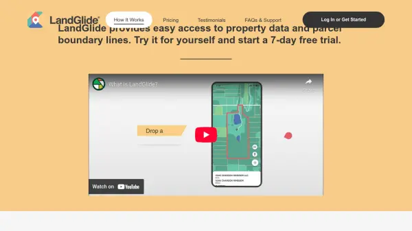 LandGlide Comprehensive Parcel Data and Property Line Mapping Anywhere
LandGlide offers advanced parcel data and property line mapping with GPS location, providing access to over 157 million U.S. parcel records on desktop and mobile devices.
- Freemium
- From 10$
-
 The Boring Company Accelerate Civilization With Subterranean Technology
The Boring Company develops safe, fast-to-dig, and low-cost transportation, utility, and freight tunnels to solve traffic congestion and enable rapid point-to-point transportation in cities.
- Contact for Pricing
-
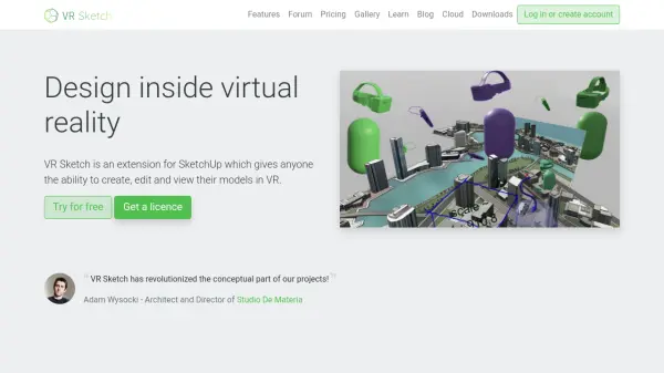 VR Sketch Design inside virtual reality with real-time SketchUp integration
VR Sketch is a virtual reality extension for SketchUp that enables architects and designers to create, edit, and present 3D models in immersive VR environments with real-time synchronization.
- Freemium
- From 9$
-
 TripSpark Moving People Together with Intelligent Transit Solutions
TripSpark provides AI-powered transit management software and hardware solutions for fixed route, paratransit, microtransit, and rideshare operations, helping agencies optimize service and grow ridership.
- Contact for Pricing
-
 Skyline Spot Elevate Your Brand Above the Cityscape
Skyline Spot is an AI-powered urban advertising platform that revolutionizes brand visibility by integrating innovative displays with city skylines for maximum impact.
- Other
-
 TransportAPI UK's Leading Managed Services Provider for Transport Data
TransportAPI is a managed services platform that provides comprehensive UK transport data via APIs, powering over 25% of transport operator apps nationally with real-time information, journey planning, and performance analytics.
- Contact for Pricing
-
 Overview Satellite and aerial imagery revealing Earth's transformation
Overview uses satellite and aerial imagery to showcase how human activity and natural forces shape our planet, offering a powerful perspective on civilization and the environment.
- Other
-
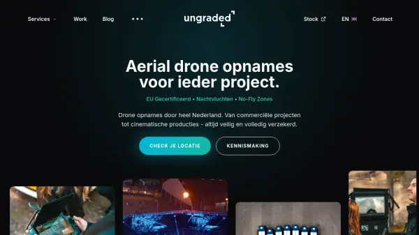 Ungraded Professional Drone Services for Aerial Video Production
Ungraded is a Dutch drone production company offering certified aerial drone recordings for commercial projects, real estate, and marketing with services including night flights and operations in no-fly zones.
- Contact for Pricing
-
 Oobeo Contactless Parking Management Software
Oobeo provides an integrated suite of contactless parking software for mobile payments, permits, valet, and attendant-managed locations, helping operators maximize revenue and efficiency.
- Freemium
-
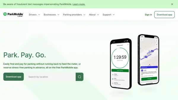 ParkMobile Park. Pay. Go. The smarter way to park.
ParkMobile is a smart parking app that allows users to find, pay for, and reserve parking spots easily, while offering business solutions for parking management and expense tracking.
- Free
-
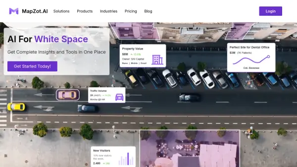 MapZot.AI AI-Powered Location Analytics for Strategic Expansion
MapZot.AI provides AI-driven location analytics to help businesses optimize site selection, market planning, and sales forecasting. Leverage real-time data and insights for strategic growth and expansion.
- Contact for Pricing
-
 GoodVision AI-Driven Traffic Solutions for Safer, Smarter Cities
GoodVision offers AI-powered traffic monitoring and analytics solutions that help cities optimize traffic flow, prevent congestion, and enhance road safety through real-time camera-based analytics.
- Contact for Pricing
-
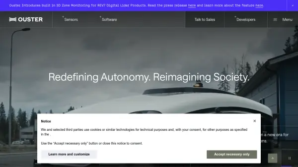 Ouster High-resolution lidar sensors and perception software for autonomy.
Ouster provides high-resolution digital lidar sensors and AI-powered perception software designed to enhance safety, efficiency, and autonomy across various industries including automotive, robotics, and smart infrastructure.
- Contact for Pricing
-
 Parkitect Build and manage the theme parks of your dreams with modern tycoon gameplay
Parkitect is a modern theme park tycoon game where players construct roller coasters, design immersive parks, and manage operations through challenging campaigns and multiplayer modes.
- Pay Once
-
 Carta Maps Build Custom Interactive Maps with Ease
Carta Maps is an AI-powered platform for creating custom interactive maps with intuitive styling tools, real-time collaboration, and advanced features like geocoding, boundary finding, and drawing tools.
- Freemium
- From 9$
-
 Dance Your all-in-one ebike & moped subscription service
Dance is an electric mobility subscription service providing top-of-the-range e-bikes and e-mopeds with on-demand repairs, theft protection, and ride tracking for a fixed monthly price.
- Paid
-
 Ask Vandelay Your Ultimate AI Architecture Image Generator
Ask Vandelay is an AI-powered architectural image generator that transforms simple prompts into stunning, high-quality architectural visualizations using OpenAI's API technology.
- Pay Once
-
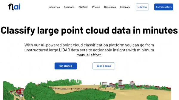 Flai AI-powered point cloud classification platform for LiDAR data processing
Flai is an advanced platform that transforms unstructured LiDAR datasets into actionable insights through AI-powered point cloud classification, offering both cloud-based and self-hosted solutions for efficient data processing.
- Freemium
- From 20$
Featured Tools
Join Our Newsletter
Stay updated with the latest AI tools, news, and offers by subscribing to our weekly newsletter.
Didn't find tool you were looking for?