ReddRadar


What is EOfactory?
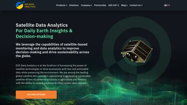
EOfactory is a platform designed to make geo-intelligence accessible, offering tools for actionable, sustainable solutions based on scientific data. It leverages AI and machine learning to provide valuable insights for organizations across diverse sectors, including agriculture, forestry, infrastructure, and mining. Users can access imagery from multiple sources, including uploading their own data or purchasing satellite imagery via the integrated EOF ImageShop. The platform facilitates the conversion of satellite image pixels into accurate measurements tailored to specific analysis needs, thereby saving time and cost in data processing.
The processed data can be efficiently stored and managed using the EOF-Rolodex feature, which enables easy filtering and time-series analysis. Furthermore, EOfactory features the InSight Studio Dashboard, an AI-powered drag-and-drop tool allowing users to develop custom user interfaces and intuitive GIS dashboards without needing programming skills. This comprehensive discovery, analysis, and visualization platform empowers enterprises and academia to make informed, science-based decisions and contribute to positive environmental change.
Features
- Geo-intelligence Platform: Provides tools for accessing, processing, analyzing, and visualizing geospatial data.
- AI/ML-Powered Analysis: Utilizes machine learning for tasks like change detection and feature extraction.
- Multi-Source Data Input: Allows users to upload own data, search available data, or buy satellite imagery via EOF ImageShop.
- Analysis-Ready Data Preparation: Converts satellite image pixels into accurate measurements, saving processing time and cost.
- EOF-Rolodex Data Storage: Manages and stores data, enabling easy filtering and time-series analysis.
- InSight Studio Dashboard: AI-powered drag-and-drop tool for creating custom GIS dashboards without coding.
- Industry-Specific Solutions: Offers tailored applications for agriculture, forestry, infrastructure, and mining.
Use Cases
- Monitoring crop health and estimating production areas in agriculture.
- Detecting changes and risks in forestry, and monitoring forest health.
- Extracting features and detecting 2D/3D changes in infrastructure projects.
- Tracking progress and performing volumetric analysis in mining operations.
- Developing custom GIS dashboards for data visualization and decision-making.
- Conducting time-series analysis on geospatial data.
- Accessing and processing satellite imagery for environmental monitoring.
Related Queries
Helpful for people in the following professions
EOfactory Uptime Monitor
Average Uptime
0%
Average Response Time
0 ms