 ReddRadar
Top AI tools for Urban Planner
-
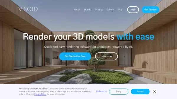 Visoid Quick and easy rendering software for architects, powered by AI
Visoid is an AI-powered 3D rendering software that enables architects to create high-quality visualizations in seconds, with support for any 3D design application and simple three-step workflow.
- Freemium
- From 29$
-
 NextGIS All-in-one GIS platform for maps and geodata
NextGIS provides comprehensive GIS solutions with web, mobile, desktop, and server tools for creating, managing, and sharing spatial data and interactive maps.
- Contact for Pricing
-
 Instant Street View Instantly explore any location with Google Street View
Instant Street View is an AI-powered tool that provides immediate access to Google Street View imagery by simply typing an address or place name, enabling users to explore locations worldwide with ease.
- Freemium
- From 6$
-
 Wings Engine Interactive 3D and XR Creation Platform for the Web
Wings Engine is a no-code, web-based platform designed to enable interactive 3D and XR creation with real-time rendering, suitable for industries ranging from product display to building planning.
- Other
-
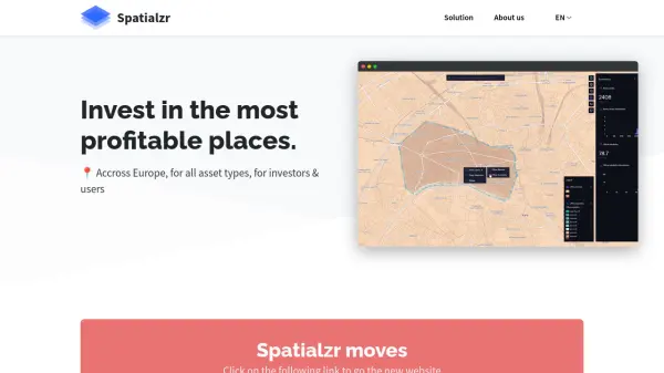 Spatialzr Invest in the most profitable places.
Spatialzr offers real-time market analysis and site selection algorithms for commercial real estate (CRE) across Europe, aiding investors and businesses in making informed location decisions.
- Paid
- From 216$
-
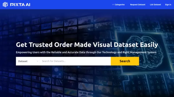 PIXTA AI Get Trusted Order Made Visual Dataset Easily
PIXTA AI is a comprehensive data marketplace platform that provides customized visual datasets and data annotation services for AI development, focusing on computer vision, audio, and language processing applications.
- Contact for Pricing
-
 Takeout Tools Export Real Location Data from Your Google Maps Saved Places
Takeout Tools transforms Google Takeout exports by automatically extracting addresses and coordinates from Google Maps URLs, converting them into usable formats like CSV, JSON, GPX, KML, and GeoJSON for mapping tools, GIS applications, and spreadsheets.
- Freemium
- From 190$
-
 PlantMaster Streamline Landscape Plant Presentations and Reports
PlantMaster delivers robust plant database management and interactive presentation tools for landscape professionals, enabling effortless plant selection, customization, and project reporting.
- Free Trial
-
 CYLIND Top-tier Architectural Visualization Services for Architects and Real Estate Developers
CYLIND is a full-scope 3D architectural visualization studio that creates photorealistic renderings, animations, virtual tours, and floor plans to help architects and developers communicate designs effectively with stakeholders.
- Contact for Pricing
-
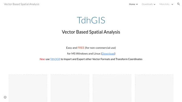 TdhGIS Free Vector-Based Spatial Analysis Software for Windows and Linux
TdhGIS is a free vector-based spatial analysis software for non-commercial use on Windows and Linux, offering tools for creating, editing, and analyzing geographic data with features like importing Shapefiles and OpenStreetMap data, allocating point and polygon data, and creating thiessen polygons and contours.
- Free
-
 SpatialPoint Location Intelligence for Powerful Business Decisions
SpatialPoint provides AI-powered location intelligence solutions including mapping, geocoding, address validation, and demographic analysis to solve complex business location challenges.
- Contact for Pricing
-
 Blackshark.ai Real-time Semantic 3D Digital Twin of the Planet
Blackshark.ai generates a real-time, accurate, semantic, and photorealistic 3D digital twin of the entire planet using machine learning and satellite imagery. This technology supports various applications, including simulation, visualization, and geospatial analytics.
- Contact for Pricing
-
 TransLoc Transportation solutions at the speed of life
TransLoc provides comprehensive transit software solutions for fixed route and on-demand transportation systems, helping agencies optimize operations and enhance rider experiences.
- Contact for Pricing
-
 Breathable A free customizable Air Quality Index widget for all your Apple devices
Breathable is a free Air Quality Index widget for iOS, iPadOS, watchOS, and macOS, providing real-time air quality data from global and US sources to help users assess outdoor safety.
- Free
-
 Hexagon Precision AI Solutions for Industry Transformation
Hexagon delivers advanced AI-enabled technologies to improve productivity, quality, and sustainability across sectors such as construction, manufacturing, mining, and urban development.
- Contact for Pricing
-
 Picterra Reliable GeoAI solution for sustainability, compliance, transparency, accountability, monitoring, and verification.
Picterra is a GeoAI platform that enables users to build and deploy custom AI models for geospatial imagery analysis. It supports various data types and offers solutions for multiple industries, facilitating scalable and collaborative geospatial analysis.
- Contact for Pricing
-
 NYC Mesh Reliable community-owned internet for all New Yorkers
NYC Mesh is a volunteer-driven community network providing high-speed, reliable internet access to bridge the digital divide in New York City through rooftop antennas and fiber connections.
- Other
-
 ArchSynth AI for Architecture: Transform Sketches into Stunning Visuals
ArchSynth is an AI-powered tool that transforms architectural sketches and 2D images into photorealistic renders and 3D models, streamlining the design process for architects and designers.
- Paid
- From 9$
-
 Urbaneel The Ultimate Public Transport App for Cyprus
Urbaneel is an interactive public transport app designed for Cyprus, featuring real-time bus tracking, live arrival times, and location-based nearby stop detection for both locals and tourists.
- Free
-
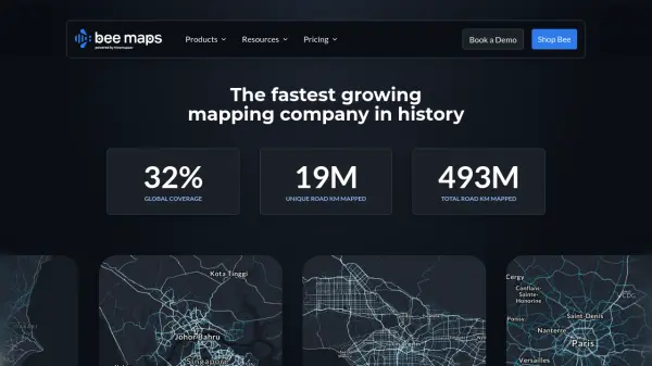 Bee Maps Simplify Fleet Management with AI-Powered Mapping Insights
Bee Maps offers AI-powered fleet management solutions and hyper-fresh mapping data APIs for optimized routing, cost savings, and real-time monitoring.
- Contact for Pricing
-
 Go Jauntly Your walking app for everyday outdoor adventures
Go Jauntly is a walking app that helps users discover nature-filled walking routes, enjoy walking challenges, and create their own walks with photo guides and nature notes.
- Freemium
- From 4$
-
 Moovit Plan, pay, and ride with the #1 mobility app
Moovit is the world's leading urban mobility app that helps users plan trips, view real-time arrivals, and book tickets across public transit systems in over 100 countries.
- Freemium
-
 Datum Workstation Advanced Geospatial Analysis and Image Processing Software
Datum Workstation delivers professional GIS, image processing, and terrain analysis solutions, integrating advanced tools for managing, visualizing, and publishing geospatial data on Windows and MacOS platforms.
- Contact for Pricing
-
 AeroMegh Transform Drone Data into Intelligence with Advanced GeoAI Platform
AeroMegh is a comprehensive GeoAI platform for drone professionals, offering photogrammetry, AI-powered object detection, and geospatial analytics in one integrated solution.
- Freemium
- From 47$
-
 Archiore Join a community of architects sharing their work, learning from each other, and showcasing their portfolios.
Archiore is a community platform for architects to share portfolios, showcase projects, and gain feedback from peers while discovering inspiring designs and plans.
- Other
-
 OutlineAI Revolutionizing real estate feasibility studies and schematic designs with AI.
OutlineAI utilizes artificial intelligence to automate and optimize architectural design processes, significantly reducing time and improving efficiency for real estate projects.
- Contact for Pricing
-
 Planet AI-Powered Earth Intelligence for Global Monitoring and Decision Making
Planet provides AI-powered Earth observation and intelligence solutions through satellite constellations, offering daily global monitoring, high-resolution tasking, and analytics for industries like agriculture, defense, and sustainability.
- Freemium
- From 28$
-
 TestFit Real Estate Feasibility Platform for Faster Deal Evaluation
TestFit is an AI-powered real estate feasibility platform that accelerates site planning and deal evaluation using generative design and real-time insights.
- Paid
- From 100$
-
 GeoSurvey Professional Land Surveying and 3D Laser Scanning Services
GeoSurvey provides comprehensive land surveying and 3D laser scanning services with over 10,000 surveys completed since 1996, serving commercial, construction, and residential markets.
- Contact for Pricing
-
 SmartComment Powerful Software for Public Comments & Community Engagement
SmartComment is an AI-powered platform that transforms stakeholder engagement by streamlining public comment analysis, response workflows, and community collaboration for agencies and organizations.
- Contact for Pricing
-
 EasyAR Spatial Computing Platform Connecting Everything
EasyAR offers a spatial computing platform with solutions for city-scale mapping, localization, and AR experiences, catering to various industries.
- Freemium
- From 49$
-
 4M Analytics The ultimate source of utility data
4M Analytics is an AI-powered utility mapping and analytics platform that provides real-time utility data and infrastructure mapping solutions for project owners, engineers, and contractors during early-stage infrastructure development.
- Contact for Pricing
-
 SimWalk Pedestrian Simulation Software for Safer, Smarter Venues
SimWalk is a leading pedestrian simulation software used by authorities and consultancies worldwide to analyze and manage crowd dynamics in transport, aviation, sports, and building environments.
- Paid
-
 eizen Your Intelligent Video AI Assistant
eizen offers an interactive AI video platform featuring intelligent assistants that analyze and provide guidance on visual content in real-time, alongside a no-code computer vision solution.
- Contact for Pricing
-
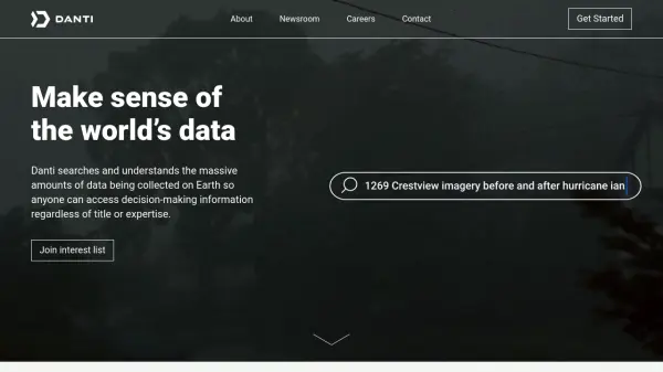 Danti Make sense of the world's data through intelligent search and analysis
Danti is an AI-powered search and analysis platform that synthesizes diverse data sources including imagery, news, and social media to provide comprehensive insights about any location on Earth.
- Contact for Pricing
-
 ONEMOTOR Universal Electric Drive System for Bikes, Scooters, and Bikeshare
ONEMOTOR is a versatile electric drive system that attaches to any bike, scooter, or bikeshare platform, providing powerful motor assistance with minimal weight and easy installation.
- Other
-
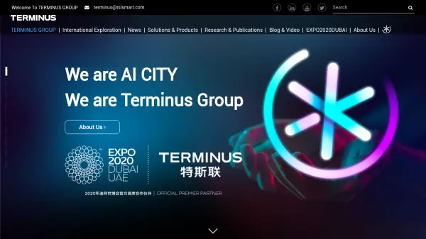 Terminus Group Shaping the Next Generation of Technology with AIoT
Terminus Group is an international AI smart service provider, specializing in Artificial Intelligence & Internet of Things (AIoT) solutions for smart cities, sustainable development, and robotics.
- Contact for Pricing
-
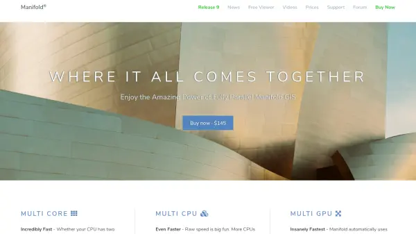 Manifold The world's fastest GIS with built-in parallel DBMS and real SQL
Manifold is a high-performance Geographic Information System (GIS) that combines spatial data visualization with advanced parallel database management capabilities, delivering exceptional speed and reliability for handling large datasets.
- Pay Once
-
 Galigeo Location Intelligence Platform for Business Performance
Galigeo is a comprehensive location intelligence platform that provides geomarketing, geodecision-making, and commercial efficiency solutions through predictive analytics and spatial data integration.
- Contact for Pricing
-
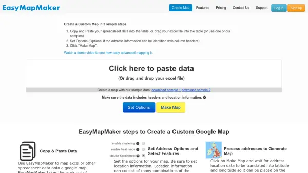 EasyMapMaker Create Custom Google Maps from Spreadsheet Data in Minutes
EasyMapMaker transforms spreadsheet data into interactive Google Maps with automatic geocoding, clustering, and heat maps for data visualization and analysis.
- Freemium
- From 29$
-
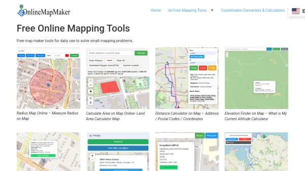 Online Map Maker Free, Easy-to-Use Online Mapping and Geodata Tools
Online Map Maker provides a suite of free web-based mapping tools for calculating areas, distances, elevations, zip codes, and more through an intuitive interface. The platform supports geographic data visualization, conversion, and analysis for students, professionals, and planners.
- Free
-
 inteliLIGHT Intelligent street lighting remote management system for smart cities
inteliLIGHT is a comprehensive smart street lighting solution that combines software, controllers, and communication technologies to enable remote management, energy savings, and smart city integrations.
- Contact for Pricing
-
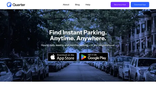 quarter.nyc Instant Parking Booking Anytime, Anywhere
Quarter connects drivers with available parking spots nationwide, offering hourly to monthly reservations and secure, hassle-free transactions for both drivers and parking space hosts.
- Other
-
 Jain Housing Quality Real Estate Development Since 1987
Jain Housing is a real estate developer specializing in residential and commercial projects across major Indian cities, offering a range of properties from 1 BHK to 5 BHK apartments with a focus on eco-friendly living and customer satisfaction.
- Contact for Pricing
-
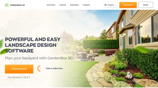 GardenBox 3D User-Friendly 3D Landscape Design Software for Homeowners
GardenBox 3D is powerful, user-friendly landscape design software that allows users to create and visualize garden, backyard, and exterior house plans in 3D, complete with customizable materials and real-time previews.
- Freemium
-
 Seety Drive. Park. Relax. Save time and money on your parking, gas fill-ups, and electric recharges.
Seety is a comprehensive mobility app that helps drivers find, pay for, and manage parking, fuel, and electric vehicle charging across Europe with real-time information and transparent pricing.
- Free
-
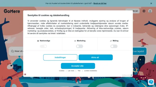 GoMore Del biler og pas bedre på planeten
GoMore is a car-sharing platform that enables users to rent cars from people nearby or share their own cars when not in use, with insurance and 24/7 roadside assistance included.
- Other
-
 Plus Codes Open location codes for anywhere on Earth
Plus Codes is an open-source addressing system that provides simple, short codes to represent any location on Earth, enabling easy sharing and navigation without traditional addresses.
- Free
-
 Roadometry Count traffic using computer vision on your desktop.
Roadometry provides desktop software utilizing computer vision to count traffic, offering valuable data for transportation analysis and system integration.
- Free Trial
-
 Terrain Navigator Pro Generating work flow efficiency and increasing return on investment for today’s mapping professionals
Terrain Navigator Pro is a comprehensive mapping platform that combines topographic maps and aerial photos with powerful mapping tools for creating, editing, and synchronizing map projects across desktop, web, and mobile devices.
- Free Trial
Featured Tools
Join Our Newsletter
Stay updated with the latest AI tools, news, and offers by subscribing to our weekly newsletter.
Didn't find tool you were looking for?