
GeoAI - Alternatives & Competitors
Harnessing AI and Spatial Data for Innovation
GeoAI combines Artificial Intelligence with geospatial engineering to analyze location-based data, satellite imagery, and advanced analytics for smarter decision-making in various industries.

Ranked by Relevance
-
1
 Garudalytics Solving real-world challenges using GeoAI.
Garudalytics provides Geospatial AI (GeoAI) solutions, extracting insights from location data to address challenges across various sectors.
- Contact for Pricing
-
2
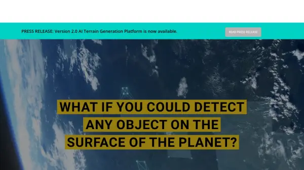
 FlyPix AI Geospatial AI Platform for Analyzing Earth's Surface
FlyPix AI is a geospatial analysis platform that uses AI to detect and analyze objects in images. Train custom AI models and analyze geospatial data tied to coordinates.
- Freemium
- From 50$
-
3
 Atlas AI The AI Platform for Geospatial Insights
Atlas AI is a geospatial AI platform providing hyperlocal socio-demographic indicators and forecasting tools, empowering data scientists with location intelligence.
- Contact for Pricing
-
4
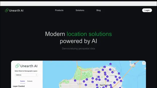 Unearth AI Modern location solutions powered by AI
Unearth AI offers AI-powered geospatial data analysis tools. Products include Unearth Lite, a ChatGPT-powered location explorer, and Unearth Insights for enterprise geospatial analytics.
- Contact for Pricing
-
5
 Blackshark.ai Real-time Semantic 3D Digital Twin of the Planet
Blackshark.ai generates a real-time, accurate, semantic, and photorealistic 3D digital twin of the entire planet using machine learning and satellite imagery. This technology supports various applications, including simulation, visualization, and geospatial analytics.
- Contact for Pricing
-
6
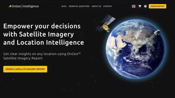 OnGeo Intelligence Empower your decisions with Satellite Imagery and Location Intelligence
OnGeo Intelligence provides AI-enhanced satellite imagery reports with global coverage, delivering clear PDF insights and data packages for various professional applications without requiring technical skills or subscriptions.
- Pay Once
-
7
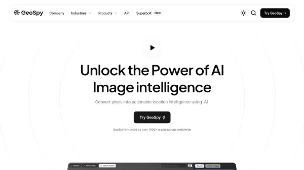 GeoSpy Unlock the Power of AI Image intelligence
GeoSpy is an AI-powered platform that converts image data into precise GPS location predictions. It offers advanced location intelligence solutions for various organizations globally.
- Contact for Pricing
-
8
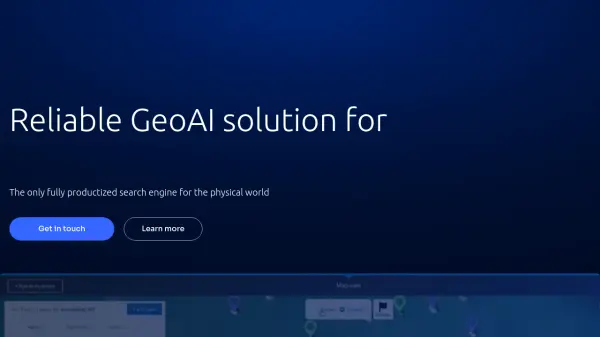 Picterra Reliable GeoAI solution for sustainability, compliance, transparency, accountability, monitoring, and verification.
Picterra is a GeoAI platform that enables users to build and deploy custom AI models for geospatial imagery analysis. It supports various data types and offers solutions for multiple industries, facilitating scalable and collaborative geospatial analysis.
- Contact for Pricing
-
9
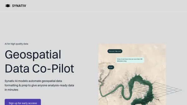 Synativ Geospatial Data Co-Pilot
Synativ utilizes AI to automate geospatial data formatting and preparation, delivering analysis-ready data in minutes. It significantly reduces manual labor and human error in geospatial data processing.
- Contact for Pricing
-
10
 Geospatial Analytics Real Estate Decision Intelligence Software
Geospatial Analytics delivers advanced real estate management technologies and analytical platform solutions, enabling portfolio optimization and informed decision-making through data-driven insights.
- Contact for Pricing
-
11
 Danti Make sense of the world's data through intelligent search and analysis
Danti is an AI-powered search and analysis platform that synthesizes diverse data sources including imagery, news, and social media to provide comprehensive insights about any location on Earth.
- Contact for Pricing
-
12
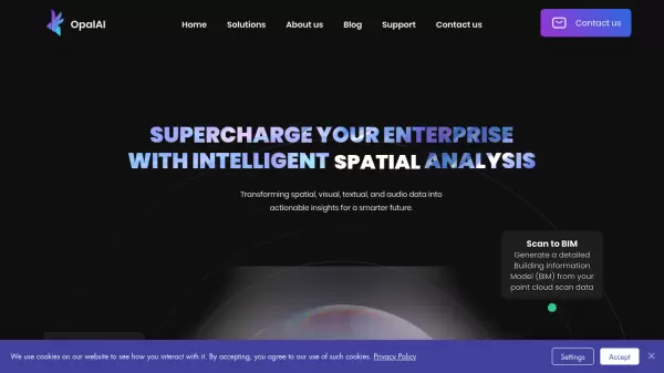 OpalAI Transforming spatial data into actionable insights with intelligent analysis
OpalAI is an advanced AI platform that converts spatial, visual, and point cloud data into detailed 3D models, BIM (Building Information Models), and actionable insights for various industries.
- Usage Based
- From 1$
-
13
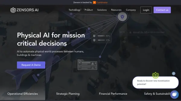 Zensors Physical AI for mission critical decisions
Zensors is a spatial AI platform designed to automate physical world processes and provide operational insights for industries like aviation, retail, and commercial real estate.
- Contact for Pricing
-
14
 EOfactory Actionable geo-intelligence to ensure sustainability
EOfactory provides actionable geo-intelligence solutions using AI and ML for various industries, focusing on sustainability and science-based decisions. Access satellite imagery, process data, and visualize insights through custom dashboards.
- Free Trial
-
15
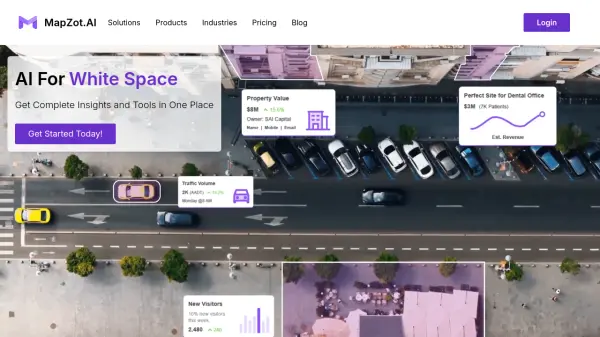 MapZot.AI AI-Powered Location Analytics for Strategic Expansion
MapZot.AI provides AI-driven location analytics to help businesses optimize site selection, market planning, and sales forecasting. Leverage real-time data and insights for strategic growth and expansion.
- Contact for Pricing
-
16
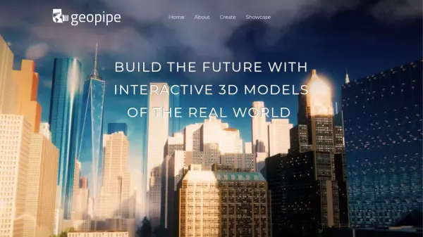 Geopipe Build the Future with Interactive 3D Models of the Real World
Geopipe uses AI to create interactive 3D models of real-world environments from sensor data. Stream vast digital twins directly into Unity, Unreal Engine, or download as 3D meshes for simulations, gaming, and VR experiences.
- Contact for Pricing
-
17
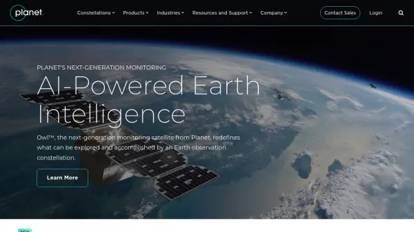 Planet AI-Powered Earth Intelligence for Global Monitoring and Decision Making
Planet provides AI-powered Earth observation and intelligence solutions through satellite constellations, offering daily global monitoring, high-resolution tasking, and analytics for industries like agriculture, defense, and sustainability.
- Freemium
- From 28$
-
18
 GeoSurvey Professional Land Surveying and 3D Laser Scanning Services
GeoSurvey provides comprehensive land surveying and 3D laser scanning services with over 10,000 surveys completed since 1996, serving commercial, construction, and residential markets.
- Contact for Pricing
-
19
 mapify.ai No-code platform to process real-time geospatial data and generate real-time insights
Mapify is a no-code platform that enables users to process real-time geospatial data, define business rules, and create interactive maps and applications for IoT and location-based solutions without coding.
- Free Trial
-
20
 Mayday.ai Global Risk, Disaster, and Environmental Intelligence Platform
Mayday.ai provides real-time global risk, disaster, and environmental intelligence using an AI fusion engine, leveraging satellite and camera data for governments, enterprises, and insurers. It aids in risk reduction, disaster management, and environmental monitoring.
- Contact for Pricing
-
21
 Hexagon Precision AI Solutions for Industry Transformation
Hexagon delivers advanced AI-enabled technologies to improve productivity, quality, and sustainability across sectors such as construction, manufacturing, mining, and urban development.
- Contact for Pricing
-
22
 SpatialPoint Location Intelligence for Powerful Business Decisions
SpatialPoint provides AI-powered location intelligence solutions including mapping, geocoding, address validation, and demographic analysis to solve complex business location challenges.
- Contact for Pricing
-
23
 Wherobots The Spatial Intelligence Cloud for Planetary-Scale Analytics
Wherobots is a comprehensive spatial data platform that combines ETL, analytics, and AI capabilities for processing geospatial data at scale, created by the original developers of Apache Sedona.
- Freemium
-
24
 Depth AI AI that deeply understands your codebase
Depth AI is an advanced code analysis tool that creates AI assistants to help developers understand and work with their codebase through a comprehensive knowledge graph system.
- Free Trial
-
25
 Mapline Geo-Powered Analytics and Mapping for Business Success
Mapline is a geo-intelligent analytics platform that empowers businesses to visualize, optimize, and manage location-based data through powerful mapping, routing, BI, and scheduling solutions.
- Free Trial
-
26
 Dvina Visualize, analyze, and gain instant insights with AI for data-driven decision making
Dvina is an AI-powered analytics platform that helps users visualize, analyze, and gain instant insights from multiple data sources, featuring geospatial analysis, anomaly detection, and real-time reporting capabilities.
- Freemium
- From 72$
-
27
 repromptai.com AI Agents for Location Data
Reprompt provides AI agents to automatically enrich and validate location data. It offers real-time data updates, custom attribute generation, and automated review of place and GIS data.
- Usage Based
-
28
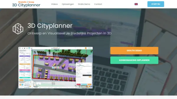 3D Cityplanner Design and Visualize Urban Projects with Smart 3D Planning
3D Cityplanner enables professionals to design, analyze, and visualize urban development projects using advanced data layers and AI-powered planning tools within a detailed 3D environment.
- Freemium
-
29
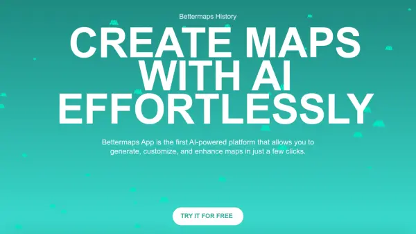 Bettermaps Create Maps with AI Effortlessly
Bettermaps is an AI-powered platform that allows users to generate, customize, and enhance maps quickly and easily. It offers solutions for both general map creation and historical map visualization.
- Free Trial
Didn't find tool you were looking for?