Top AI tools for location intelligence
-
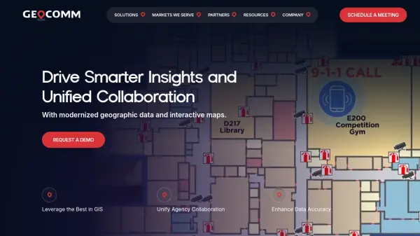 GeoComm GIS Solutions for Enhanced Emergency Response and Public Safety
GeoComm delivers advanced GIS mapping software and services designed to improve emergency response, school safety, and data management for public safety agencies and educational institutions.
- Contact for Pricing
-
 CAARD Revolutionary digital identity platform that transforms professional networking through intelligent QR technology and seamless connections.
CAARD is an AI-powered digital identity platform that enhances professional networking with smart QR technology, analytics, and secure connections. It enables instant networking, location-based opportunities, and team collaboration for professionals worldwide.
- Other
-
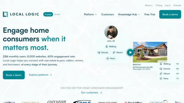 Local Logic Location Intelligence That Drives Home Consumer Engagement
Local Logic is an AI-powered location intelligence platform that provides rich neighborhood insights and data-driven tools for real estate professionals to engage home consumers, generate leads, and enhance digital experiences.
- Other
- From 20$
-
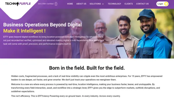 TechnoPurple EFFY Elevate Business Efficiency with Location-Powered Execution Intelligence
TechnoPurple EFFY is an AI-enabled workforce management platform that transforms field operations through real-time location intelligence, digital workflows, and automated task tracking across multiple industries.
- Contact for Pricing
-
 Foursquare Transform Your World with Location Intelligence
Foursquare provides comprehensive location intelligence solutions including geospatial analytics, POI data, and AI-powered spatial tools for marketers, developers, and spatial analysts.
- Freemium
- From 25$
-
 Every Cowhere Blog about market research and marketing strategies
Every Cowhere is a blog providing insights on market research, location intelligence, and marketing strategies to help businesses define their sales and customer communication approaches.
- Free
-
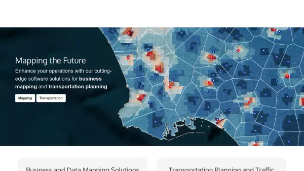 caliper.com Mapping the Future with Cutting-Edge Software Solutions
Caliper provides comprehensive mapping, GIS, and transportation software solutions for businesses and government agencies to analyze data, optimize operations, and plan strategically.
- Other
-
 OnGeo Intelligence Empower your decisions with Satellite Imagery and Location Intelligence
OnGeo Intelligence provides AI-enhanced satellite imagery reports with global coverage, delivering clear PDF insights and data packages for various professional applications without requiring technical skills or subscriptions.
- Pay Once
-
 GroundTruth The advertising platform that drives in-store visits and other real business results.
GroundTruth is an AI-powered advertising platform that uses location intelligence and real-world behavior data to drive measurable business outcomes like in-store visits, brand awareness, and sales growth.
- Contact for Pricing
-
 Snaptrends Location-based social media insights for global brands
Snaptrends is an AI-powered social media software that provides real-time location-based customer insights by analyzing social media content across specified geographic areas, helping organizations enhance their brand, service, or product.
- Contact for Pricing
-
 Pataa The New Language of Address!
Pataa is an advanced addressing solution that provides short, unique digital address codes to simplify long and complex addresses, enhancing delivery efficiency and customer experience.
- Free Trial
-
 inAtlas Faster and easier business decisions
inAtlas is a Big Data and Location Intelligence company that transforms geospatial data into valuable information for business growth, specializing in new client acquisition and expansion solutions worldwide.
- Contact for Pricing
-
 Maply Transform location data into powerful insights with intuitive mapping
Maply is an intuitive online mapping application that helps businesses and professionals visualize and analyze geospatial data through heat maps, network maps, route optimization, and other advanced mapping features.
- Freemium
- From 15$
-
 Galigeo Location Intelligence Platform for Business Performance
Galigeo is a comprehensive location intelligence platform that provides geomarketing, geodecision-making, and commercial efficiency solutions through predictive analytics and spatial data integration.
- Contact for Pricing
-
 Foursquare Location Platform Unlock Powerful Location Intelligence and Geospatial Analytics
Foursquare Location Platform leverages advanced AI and geospatial technology to provide businesses with precise location data, mapping, and analytics for improved decision making.
- Usage Based
-
 Ultimaps Map visualization tool made for humans
Ultimaps is an intuitive map visualization platform that allows users to create color-coded and interactive maps instantly by importing data from Excel, Google Spreadsheet, or Notion, with AI-assisted map creation capabilities.
- Freemium
- From 17$
-
 CSV2GEO Batch Geocoding, Reverse Geocoding, and Interactive Map Creation
CSV2GEO is an online tool for converting addresses to geographic coordinates (latitude/longitude) and vice-versa in bulk. It also enables users to create and publish interactive maps from their data.
- Freemium
-
 PertSol Harnessing Digital Data into Insightful Intelligence
PertSol provides advanced solutions for Communication Service Providers and Law Enforcement Agencies, focusing on telecom compliance, location intelligence, and big data analytics.
- Contact for Pricing
-
 Atlas AI The AI Platform for Geospatial Insights
Atlas AI is a geospatial AI platform providing hyperlocal socio-demographic indicators and forecasting tools, empowering data scientists with location intelligence.
- Contact for Pricing
-
 GeoAI Harnessing AI and Spatial Data for Innovation
GeoAI combines Artificial Intelligence with geospatial engineering to analyze location-based data, satellite imagery, and advanced analytics for smarter decision-making in various industries.
- Contact for Pricing
-
 truemetrics Optimize Last-Mile Delivery with Precise Entrance Coordinates
Truemetrics provides precise entrance coordinates and optimal parking positions for deliveries, automatically mapped via courier devices to save time and enhance last-mile efficiency.
- Contact for Pricing
-
 Spatialzr Invest in the most profitable places.
Spatialzr offers real-time market analysis and site selection algorithms for commercial real estate (CRE) across Europe, aiding investors and businesses in making informed location decisions.
- Paid
- From 216$
-
 Geoblink The Location Management Platform powering the new retail
Geoblink is a location management platform providing data-driven insights for retail, commercial real estate, and consumer goods sectors to optimize location performance and strategy.
- Contact for Pricing
-
 Regrid Comprehensive parcel data with boundaries, buildings, addresses, and geographic enrichments for all your location decisions.
Regrid provides comprehensive parcel data for the U.S. and Canada, including boundaries, ownership, addresses, and geographic insights, accessible via app, data store, API, and enterprise solutions.
- Freemium
-
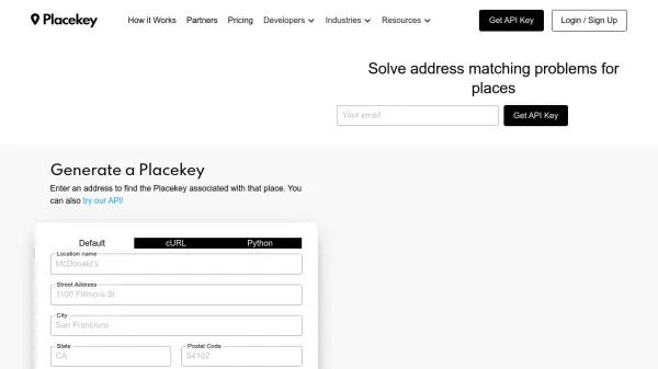 Placekey Solve address matching problems for places
Placekey provides a universal identifier for any physical place, simplifying data sharing and solving address matching challenges across organizations using a unique 'What@Where' format.
- Freemium
- From 200$
-
 Garudalytics Solving real-world challenges using GeoAI.
Garudalytics provides Geospatial AI (GeoAI) solutions, extracting insights from location data to address challenges across various sectors.
- Contact for Pricing
-
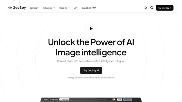 GeoSpy Unlock the Power of AI Image intelligence
GeoSpy is an AI-powered platform that converts image data into precise GPS location predictions. It offers advanced location intelligence solutions for various organizations globally.
- Contact for Pricing
-
 Sherlock AI Unlock AI Powered Consumer Insights
Sherlock AI is an AI-powered SaaS platform that provides businesses with consumer insights, location intelligence, and marketing tools. It helps companies make data-driven decisions to optimize growth and profitability.
- Contact for Pricing
-
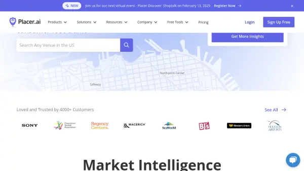 Placer.ai Best-in-class location intelligence for strategic decisions
Placer.ai is a location analytics platform that provides foot traffic data and consumer behavior insights to help businesses make strategic decisions about their physical locations.
- Contact for Pricing
Explore More Tags
-
compliance tools 77 tools
-
GDPR 56 tools
-
legal research 48 tools
-
productivity 231 tools
-
document interaction 31 tools
-
content analysis 116 tools
-
audio transcription 71 tools
-
video transcription 81 tools
-
meeting minutes 20 tools
Didn't find tool you were looking for?