 ReddRadar
Top AI tools for LiDAR
-
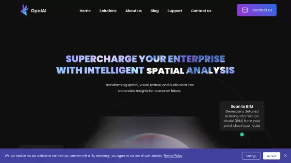 OpalAI Transforming spatial data into actionable insights with intelligent analysis
OpalAI is an advanced AI platform that converts spatial, visual, and point cloud data into detailed 3D models, BIM (Building Information Models), and actionable insights for various industries.
- Usage Based
- From 1$
-
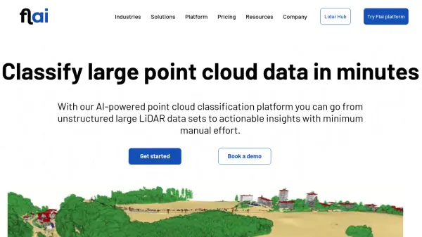 Flai AI-powered point cloud classification platform for LiDAR data processing
Flai is an advanced platform that transforms unstructured LiDAR datasets into actionable insights through AI-powered point cloud classification, offering both cloud-based and self-hosted solutions for efficient data processing.
- Freemium
- From 20$
-
 Polycam 3D scanning platform - Digitize spaces and objects with precision
Polycam is a comprehensive 3D scanning platform that enables users to create, measure, and share 3D models of spaces and objects using LiDAR, photogrammetry, and 360-degree imaging technologies.
- Freemium
- From 25$
-
 AEye Software-Definable Lidar for a Safer Future
AEye develops software-defined lidar solutions for advanced driver-assistance systems (ADAS) and autonomous applications in automotive, trucking, and smart infrastructure.
- Contact for Pricing
-
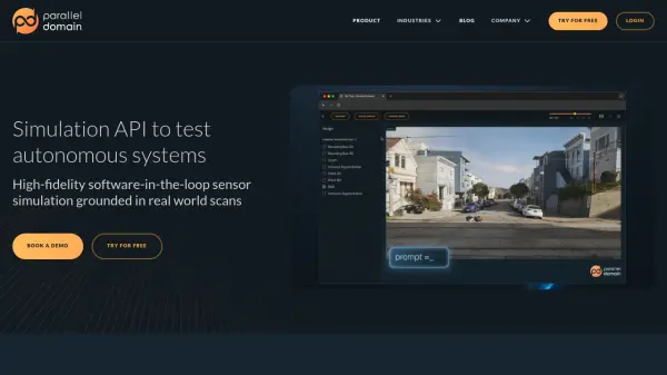 Parallel Domain High-fidelity Sensor Simulation for Autonomous Systems
Parallel Domain provides a simulation API, SDK, and web tools for testing and analyzing the performance of autonomous systems. It offers high-fidelity sensor simulation grounded in real-world scans, enabling comprehensive testing at scale.
- Contact for Pricing
-
 Deepen AI Multi-sensor data labelling and calibration tools and services to accelerate computer vision training.
Deepen AI provides tools and services for multi-sensor data labeling and calibration, accelerating computer vision training for autonomous vehicles, robotics, and more.
- Usage Based
- From 300$
-
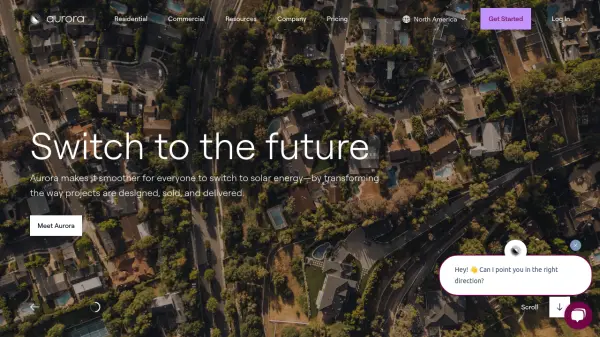 Aurora Solar Transforming Solar Design, Sales, and Delivery
Aurora Solar provides a comprehensive platform for solar professionals, streamlining solar project design, sales proposals, and delivery with high accuracy and efficiency.
- Paid
- From 159$
-
 GeoAI Harnessing AI and Spatial Data for Innovation
GeoAI combines Artificial Intelligence with geospatial engineering to analyze location-based data, satellite imagery, and advanced analytics for smarter decision-making in various industries.
- Contact for Pricing
-
 Ouster High-resolution lidar sensors and perception software for autonomy.
Ouster provides high-resolution digital lidar sensors and AI-powered perception software designed to enhance safety, efficiency, and autonomy across various industries including automotive, robotics, and smart infrastructure.
- Contact for Pricing
-
 Pix4D Professional photogrammetry and 3D mapping solutions for digitizing reality
Pix4D provides advanced photogrammetry software and cloud solutions for creating accurate 2D maps, 3D models, and point clouds from drone and terrestrial imagery, serving industries like surveying, construction, agriculture, and public safety.
- Freemium
Explore More Tags
-
compliance tools 77 tools
-
GDPR 56 tools
-
legal research 48 tools
-
productivity 231 tools
-
document interaction 31 tools
-
content analysis 116 tools
-
audio transcription 71 tools
-
video transcription 81 tools
-
meeting minutes 20 tools
Didn't find tool you were looking for?