

Planet - Alternatives & Competitors
AI-Powered Earth Intelligence for Global Monitoring and Decision Making
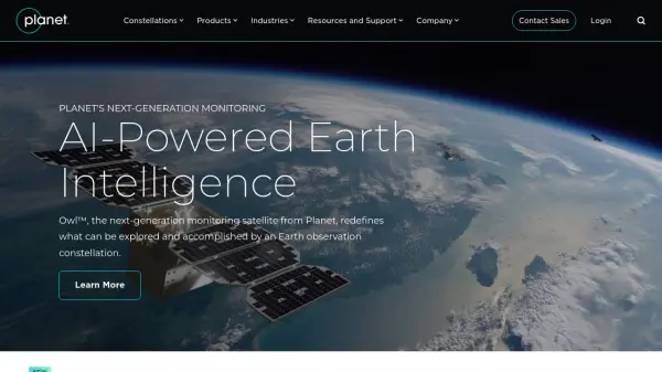
Planet provides AI-powered Earth observation and intelligence solutions through satellite constellations, offering daily global monitoring, high-resolution tasking, and analytics for industries like agriculture, defense, and sustainability.
Ranked by Relevance
-
1
 Overview Satellite and aerial imagery revealing Earth's transformation
Overview uses satellite and aerial imagery to showcase how human activity and natural forces shape our planet, offering a powerful perspective on civilization and the environment.
- Other
-
2
 Spectator Live Satellite Monitoring and Centralized Data Access
Spectator is an AI-powered platform that provides seamless access to Earth observation satellite data from programs like Copernicus Sentinels and USGS/NASA Landsat, offering daily fresh satellite images, high-resolution commercial imagery, and flexible tools for tracking satellite passes and scheduling imaging.
- Freemium
-
3
 Mayday.ai Global Risk, Disaster, and Environmental Intelligence Platform
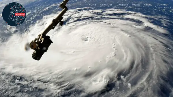
Mayday.ai provides real-time global risk, disaster, and environmental intelligence using an AI fusion engine, leveraging satellite and camera data for governments, enterprises, and insurers. It aids in risk reduction, disaster management, and environmental monitoring.
- Contact for Pricing
-
4
 OnGeo Intelligence Empower your decisions with Satellite Imagery and Location Intelligence
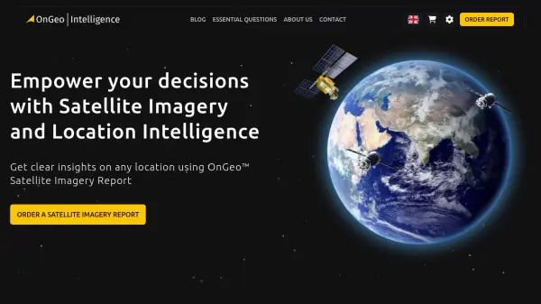
OnGeo Intelligence provides AI-enhanced satellite imagery reports with global coverage, delivering clear PDF insights and data packages for various professional applications without requiring technical skills or subscriptions.
- Pay Once
-
5
 Picterra Reliable GeoAI solution for sustainability, compliance, transparency, accountability, monitoring, and verification.
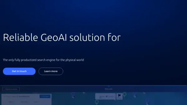
Picterra is a GeoAI platform that enables users to build and deploy custom AI models for geospatial imagery analysis. It supports various data types and offers solutions for multiple industries, facilitating scalable and collaborative geospatial analysis.
- Contact for Pricing
-
6
 FlyPix AI Geospatial AI Platform for Analyzing Earth's Surface
FlyPix AI is a geospatial analysis platform that uses AI to detect and analyze objects in images. Train custom AI models and analyze geospatial data tied to coordinates.
- Freemium
- From 50$
-
7
 GeoAI Harnessing AI and Spatial Data for Innovation
GeoAI combines Artificial Intelligence with geospatial engineering to analyze location-based data, satellite imagery, and advanced analytics for smarter decision-making in various industries.
- Contact for Pricing
-
8
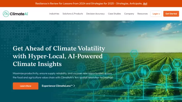 ClimateAi Get Ahead of Climate Volatility with Hyper-Local, AI-Powered Climate Insights
ClimateAi is an enterprise climate resilience platform that uses AI and patented models to provide actionable climate intelligence for the food and agriculture value chain with 1km spatial resolution technology.
- Contact for Pricing
-
9
 Zoom Earth Interactive Global Weather Mapping in Real Time
Zoom Earth offers near real-time weather visualization with interactive maps and satellite imagery, enabling users to track storms, wildfires, and weather conditions globally.
- Free
-
10
 Blackshark.ai Real-time Semantic 3D Digital Twin of the Planet
Blackshark.ai generates a real-time, accurate, semantic, and photorealistic 3D digital twin of the entire planet using machine learning and satellite imagery. This technology supports various applications, including simulation, visualization, and geospatial analytics.
- Contact for Pricing
-
11
 EOfactory Actionable geo-intelligence to ensure sustainability
EOfactory provides actionable geo-intelligence solutions using AI and ML for various industries, focusing on sustainability and science-based decisions. Access satellite imagery, process data, and visualize insights through custom dashboards.
- Free Trial
-
12
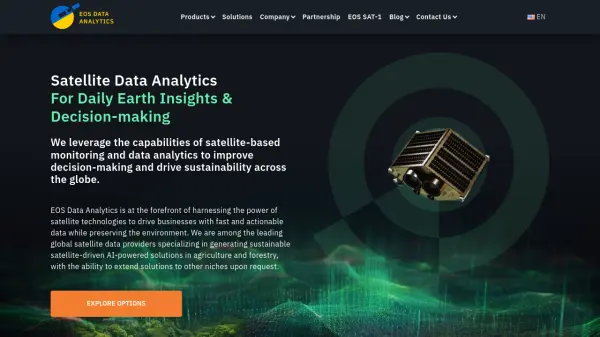 EOS Data Analytics Satellite Data Analytics For Daily Earth Insights & Decision-making
EOS Data Analytics is a leading provider of satellite-based monitoring and AI-powered analytics solutions, specializing in agriculture and forestry sectors to drive sustainable business decisions through actionable satellite data.
- Contact for Pricing
-
13
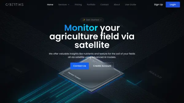 Cybertiks Monitor your agriculture field via satellite using advanced AI models
Cybertiks is an AI-powered agricultural monitoring platform that uses satellite imagery to provide detailed soil analysis and field insights, offering metrics like nutrients and texture with over 80% accuracy.
- Paid
- From 24$
-
14
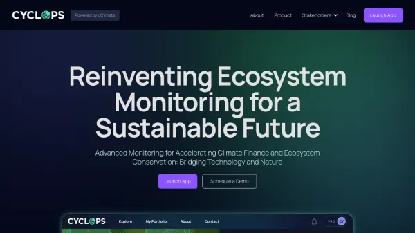 CYCLOPS Reinventing Ecosystem Monitoring for a Sustainable Future
CYCLOPS is a dMRV platform using AI and satellite imagery for global natural capital and carbon market monitoring. It offers comprehensive solutions for project developers, carbon credit platforms, and corporations.
- Free
-
15
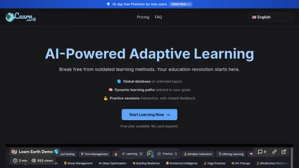 Learn Earth AI-Powered Adaptive Learning for Any Topic
Learn Earth is an AI-powered adaptive learning platform that offers personalized learning paths and interactive practice sessions for unlimited topics, making education more accessible and effective.
- Freemium
- From 6$
-
16
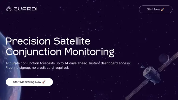 Guardi.space Streamline orbital operations with accurate satellite conjunction monitoring
Guardi.space is a free AI-powered platform providing precise 14-day satellite conjunction forecasts using industry-standard algorithms and cross-validated orbital data for operators, developers, and researchers.
- Free
-
17
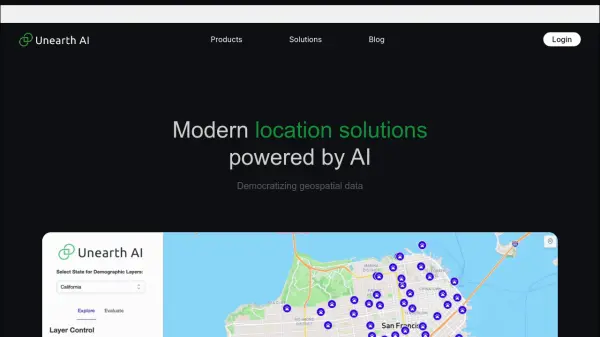 Unearth AI Modern location solutions powered by AI
Unearth AI offers AI-powered geospatial data analysis tools. Products include Unearth Lite, a ChatGPT-powered location explorer, and Unearth Insights for enterprise geospatial analytics.
- Contact for Pricing
-
18
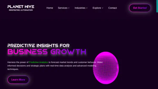 Planet Hive Innovating Automation
Planet Hive offers AI-powered solutions for business growth, including predictive analytics, personalized marketing, and AI agent development. Enhance your operations with advanced web scraping, secure RAG chatbots, and AI-driven digital marketing.
- Contact for Pricing
-
19
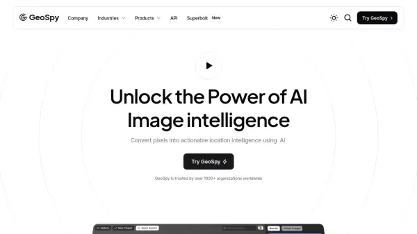 GeoSpy Unlock the Power of AI Image intelligence
GeoSpy is an AI-powered platform that converts image data into precise GPS location predictions. It offers advanced location intelligence solutions for various organizations globally.
- Contact for Pricing
-
20
 Garudalytics Solving real-world challenges using GeoAI.
Garudalytics provides Geospatial AI (GeoAI) solutions, extracting insights from location data to address challenges across various sectors.
- Contact for Pricing
-
21
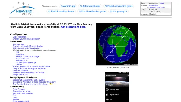 Heavens-Above Track satellites and explore the night sky with precision
Heavens-Above provides detailed satellite tracking, astronomical data, and interactive sky charts for observing celestial objects from your location.
- Free
Didn't find tool you were looking for?