 ReddRadar
Top AI tools for satellite imagery
-
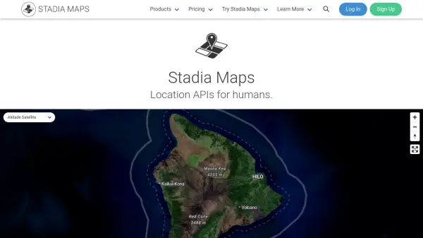 Stadia Maps Reliable Location APIs for Modern Applications
Stadia Maps delivers robust and privacy-focused location APIs, offering customizable maps, geocoding, routing, and satellite imagery for businesses and developers seeking scalable, cost-effective mapping solutions.
- Freemium
- From 20$
-
 Overview Satellite and aerial imagery revealing Earth's transformation
Overview uses satellite and aerial imagery to showcase how human activity and natural forces shape our planet, offering a powerful perspective on civilization and the environment.
- Other
-
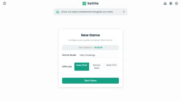 Sattlie Reassemble scrambled satellite images in daily puzzle challenges
Sattlie is an interactive puzzle game where players reassemble scrambled satellite images from Google Maps, featuring daily challenges, multiple difficulty levels, and global leaderboards.
- Free
-
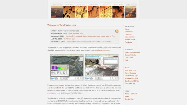 TopoFusion Advanced GPS mapping software for route planning and track manipulation
TopoFusion is a powerful GPS mapping application for Windows that enables users to download maps from multiple servers and manipulate GPX/KML files for route planning and analysis.
- Freemium
-
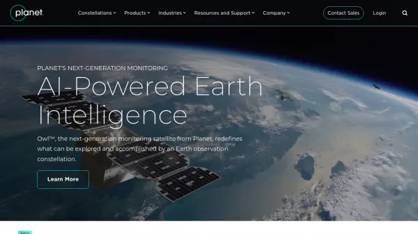 Planet AI-Powered Earth Intelligence for Global Monitoring and Decision Making
Planet provides AI-powered Earth observation and intelligence solutions through satellite constellations, offering daily global monitoring, high-resolution tasking, and analytics for industries like agriculture, defense, and sustainability.
- Freemium
- From 28$
-
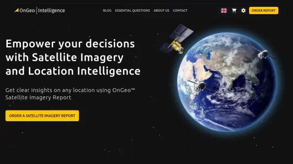 OnGeo Intelligence Empower your decisions with Satellite Imagery and Location Intelligence
OnGeo Intelligence provides AI-enhanced satellite imagery reports with global coverage, delivering clear PDF insights and data packages for various professional applications without requiring technical skills or subscriptions.
- Pay Once
-
 Downlink Real-time satellite imagery on your desktop
Downlink is a desktop application that automatically updates your background with fresh satellite images of Earth every 20 minutes or hour, offering various views including custom zoom options.
- Other
-
 Spectator Live Satellite Monitoring and Centralized Data Access
Spectator is an AI-powered platform that provides seamless access to Earth observation satellite data from programs like Copernicus Sentinels and USGS/NASA Landsat, offering daily fresh satellite images, high-resolution commercial imagery, and flexible tools for tracking satellite passes and scheduling imaging.
- Freemium
-
 Impetus AI Solutions Infuse new and fresh energy into your business with AI-driven solutions
Impetus AI Solutions delivers innovative AI products and services including iSportz, satellite imagery analysis, and bank statement analysis to drive business growth and transformation.
- Contact for Pricing
-
 Location History Visualizer Pro In-depth analysis of your Google Location History for Mac, Windows, & Linux
Location History Visualizer Pro is an AI-powered tool that processes raw Google Location History data from smartphones and converts it into an interactive map with advanced search, filtering, and analysis capabilities for personal and enterprise use.
- Pay Once
-
 Zoom Earth Interactive Global Weather Mapping in Real Time
Zoom Earth offers near real-time weather visualization with interactive maps and satellite imagery, enabling users to track storms, wildfires, and weather conditions globally.
- Free
-
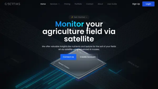 Cybertiks Monitor your agriculture field via satellite using advanced AI models
Cybertiks is an AI-powered agricultural monitoring platform that uses satellite imagery to provide detailed soil analysis and field insights, offering metrics like nutrients and texture with over 80% accuracy.
- Paid
- From 24$
-
 EOfactory Actionable geo-intelligence to ensure sustainability
EOfactory provides actionable geo-intelligence solutions using AI and ML for various industries, focusing on sustainability and science-based decisions. Access satellite imagery, process data, and visualize insights through custom dashboards.
- Free Trial
-
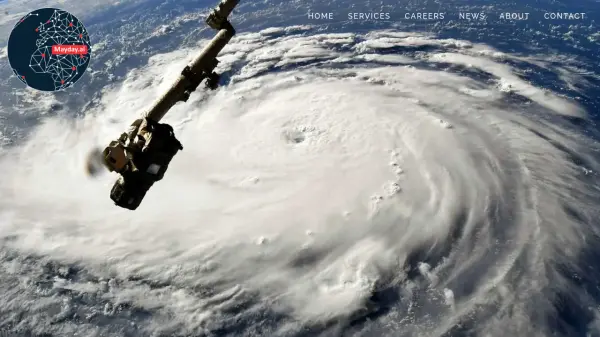 Mayday.ai Global Risk, Disaster, and Environmental Intelligence Platform
Mayday.ai provides real-time global risk, disaster, and environmental intelligence using an AI fusion engine, leveraging satellite and camera data for governments, enterprises, and insurers. It aids in risk reduction, disaster management, and environmental monitoring.
- Contact for Pricing
-
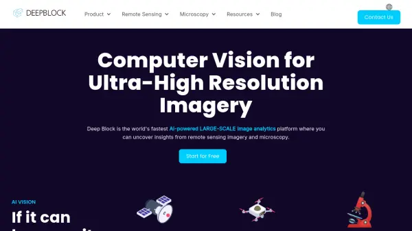 Deep Block Computer Vision for Ultra-High Resolution Imagery
Deep Block is an AI-powered platform designed for rapid analysis of large-scale, high-resolution imagery from sources like satellites, drones, and microscopes.
- Freemium
-
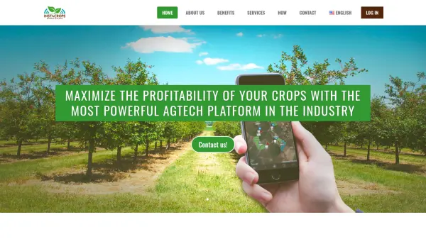 Instacrops Maximize the profitability of your crops with the most powerful AgTech platform in the industry
Instacrops is a virtual agricultural advisor using AI and IoT technology to provide real-time recommendations, optimizing resource use and maximizing crop profitability.
- Contact for Pricing
-
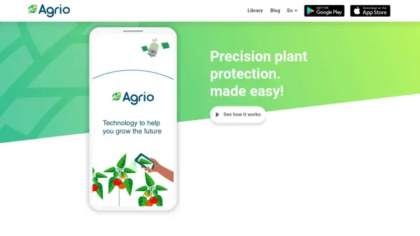 Agrio Precision plant protection, made easy!
Agrio is an AI-powered agricultural app providing precision plant protection through disease/pest detection, alerts, and farm management tools using satellite imagery and AI analysis.
- Freemium
-
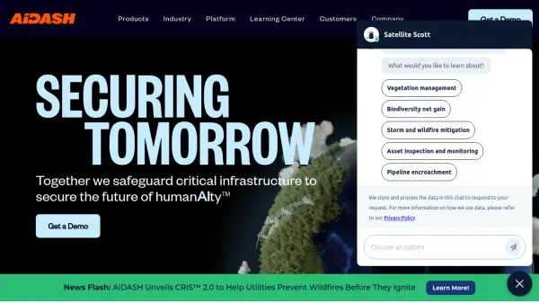 AiDASH Securing Tomorrow: Safeguarding Critical Infrastructure with AI
AiDASH offers AI-powered solutions for critical infrastructure management. Its satellite-based systems help industries improve reliability, reduce costs, and manage risks.
- Contact for Pricing
-
 Blackshark.ai Real-time Semantic 3D Digital Twin of the Planet
Blackshark.ai generates a real-time, accurate, semantic, and photorealistic 3D digital twin of the entire planet using machine learning and satellite imagery. This technology supports various applications, including simulation, visualization, and geospatial analytics.
- Contact for Pricing
-
 CYCLOPS Reinventing Ecosystem Monitoring for a Sustainable Future
CYCLOPS is a dMRV platform using AI and satellite imagery for global natural capital and carbon market monitoring. It offers comprehensive solutions for project developers, carbon credit platforms, and corporations.
- Free
-
 Danti Make sense of the world's data through intelligent search and analysis
Danti is an AI-powered search and analysis platform that synthesizes diverse data sources including imagery, news, and social media to provide comprehensive insights about any location on Earth.
- Contact for Pricing
-
 EOS Data Analytics Satellite Data Analytics For Daily Earth Insights & Decision-making
EOS Data Analytics is a leading provider of satellite-based monitoring and AI-powered analytics solutions, specializing in agriculture and forestry sectors to drive sustainable business decisions through actionable satellite data.
- Contact for Pricing
Explore More Tags
-
compliance tools 77 tools
-
GDPR 57 tools
-
legal research 48 tools
-
productivity 231 tools
-
document interaction 31 tools
-
content analysis 116 tools
-
audio transcription 71 tools
-
video transcription 81 tools
-
meeting minutes 20 tools
Didn't find tool you were looking for?