 ReddRadar

EOS Data Analytics - Alternatives & Competitors
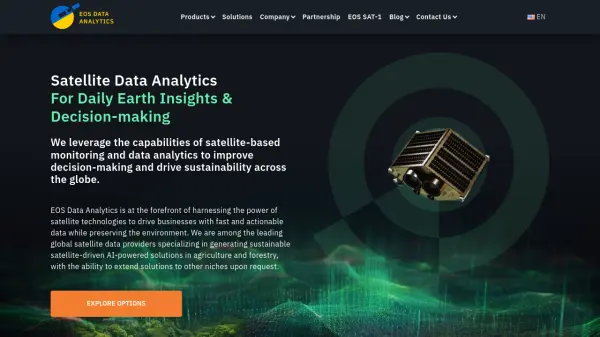
Satellite Data Analytics For Daily Earth Insights & Decision-making
EOS Data Analytics is a leading provider of satellite-based monitoring and AI-powered analytics solutions, specializing in agriculture and forestry sectors to drive sustainable business decisions through actionable satellite data.
Ranked by Relevance
-
1
 EOfactory Actionable geo-intelligence to ensure sustainability
EOfactory provides actionable geo-intelligence solutions using AI and ML for various industries, focusing on sustainability and science-based decisions. Access satellite imagery, process data, and visualize insights through custom dashboards.
- Free Trial
-
2
 Spectator Live Satellite Monitoring and Centralized Data Access
Spectator is an AI-powered platform that provides seamless access to Earth observation satellite data from programs like Copernicus Sentinels and USGS/NASA Landsat, offering daily fresh satellite images, high-resolution commercial imagery, and flexible tools for tracking satellite passes and scheduling imaging.
- Freemium
-
3
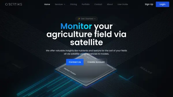 Cybertiks Monitor your agriculture field via satellite using advanced AI models
Cybertiks is an AI-powered agricultural monitoring platform that uses satellite imagery to provide detailed soil analysis and field insights, offering metrics like nutrients and texture with over 80% accuracy.
- Paid
- From 24$
-
4
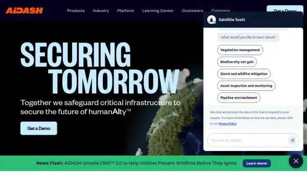 AiDASH Securing Tomorrow: Safeguarding Critical Infrastructure with AI
AiDASH offers AI-powered solutions for critical infrastructure management. Its satellite-based systems help industries improve reliability, reduce costs, and manage risks.
- Contact for Pricing
-
5
 Overview Satellite and aerial imagery revealing Earth's transformation
Overview uses satellite and aerial imagery to showcase how human activity and natural forces shape our planet, offering a powerful perspective on civilization and the environment.
- Other
-
6
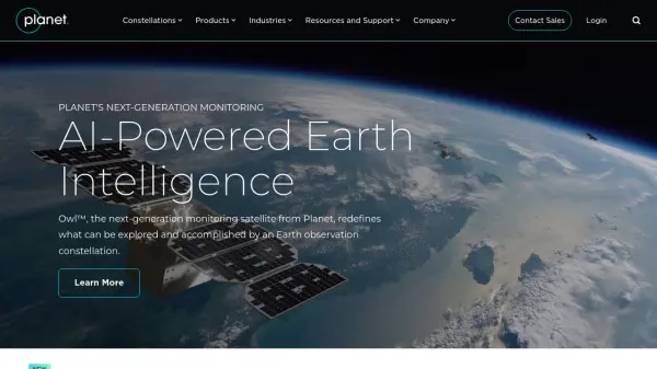 Planet AI-Powered Earth Intelligence for Global Monitoring and Decision Making
Planet provides AI-powered Earth observation and intelligence solutions through satellite constellations, offering daily global monitoring, high-resolution tasking, and analytics for industries like agriculture, defense, and sustainability.
- Freemium
- From 28$
-
7
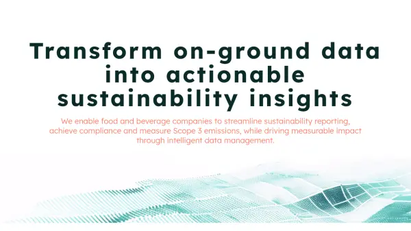 Acclym Transform on-ground data into actionable sustainability insights
Acclym offers field-to-dashboard solutions for food and beverage companies, converting data into sustainability and supply chain intelligence to streamline reporting, compliance, and impact tracking.
- Contact for Pricing
-
8
 Zoom Earth Interactive Global Weather Mapping in Real Time
Zoom Earth offers near real-time weather visualization with interactive maps and satellite imagery, enabling users to track storms, wildfires, and weather conditions globally.
- Free
-
9
 GeoAI Harnessing AI and Spatial Data for Innovation
GeoAI combines Artificial Intelligence with geospatial engineering to analyze location-based data, satellite imagery, and advanced analytics for smarter decision-making in various industries.
- Contact for Pricing
-
10
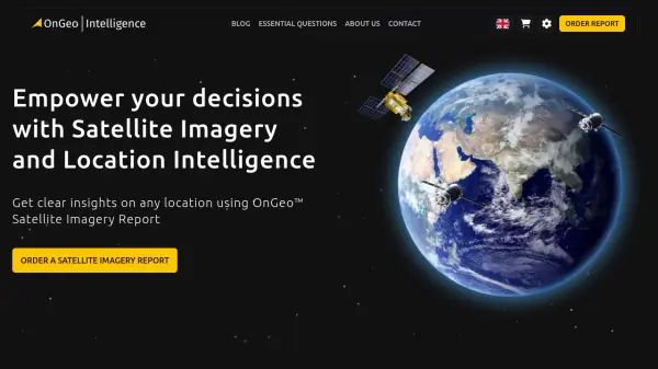 OnGeo Intelligence Empower your decisions with Satellite Imagery and Location Intelligence
OnGeo Intelligence provides AI-enhanced satellite imagery reports with global coverage, delivering clear PDF insights and data packages for various professional applications without requiring technical skills or subscriptions.
- Pay Once
-
11
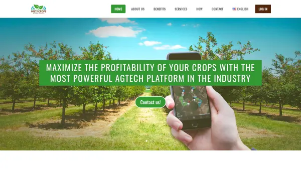 Instacrops Maximize the profitability of your crops with the most powerful AgTech platform in the industry
Instacrops is a virtual agricultural advisor using AI and IoT technology to provide real-time recommendations, optimizing resource use and maximizing crop profitability.
- Contact for Pricing
Didn't find tool you were looking for?