 ReddRadar
CSV2GEO - Alternatives & Competitors
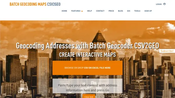
Batch Geocoding, Reverse Geocoding, and Interactive Map Creation
CSV2GEO is an online tool for converting addresses to geographic coordinates (latitude/longitude) and vice-versa in bulk. It also enables users to create and publish interactive maps from their data.
Ranked by Relevance
-
1
 GeoKeo Blazing fast geocoding API with worldwide coverage
GeoKeo is an AI-powered geocoding API service offering forward and reverse search capabilities with fast response times, worldwide coverage, and support for multiple programming languages.
- Freemium
-
2
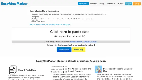 EasyMapMaker Create Custom Google Maps from Spreadsheet Data in Minutes
EasyMapMaker transforms spreadsheet data into interactive Google Maps with automatic geocoding, clustering, and heat maps for data visualization and analysis.
- Freemium
- From 29$
-
3
 geoPlugin Geolocation Plugin to Personalize, Target, and Boost Conversions
geoPlugin is a geolocation API service that provides real-time IP geolocation and reverse geocoding to identify visitor locations, enabling personalized content delivery and enhanced user engagement.
- Contact for Pricing
-
4
 Takeout Tools Export Real Location Data from Your Google Maps Saved Places
Takeout Tools transforms Google Takeout exports by automatically extracting addresses and coordinates from Google Maps URLs, converting them into usable formats like CSV, JSON, GPX, KML, and GeoJSON for mapping tools, GIS applications, and spreadsheets.
- Freemium
- From 190$
-
5
 Pelias Geocoder A modular, open-source search engine for our world
Pelias is an open-source geocoder that transforms addresses and place names into geographic coordinates and vice versa, powered by open data and built on Elasticsearch for fast global search.
- Freemium
-
6
 SpatialPoint Location Intelligence for Powerful Business Decisions
SpatialPoint provides AI-powered location intelligence solutions including mapping, geocoding, address validation, and demographic analysis to solve complex business location challenges.
- Contact for Pricing
-
7
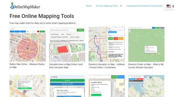 Online Map Maker Free, Easy-to-Use Online Mapping and Geodata Tools
Online Map Maker provides a suite of free web-based mapping tools for calculating areas, distances, elevations, zip codes, and more through an intuitive interface. The platform supports geographic data visualization, conversion, and analysis for students, professionals, and planners.
- Free
-
8
 Plus Codes Open location codes for anywhere on Earth
Plus Codes is an open-source addressing system that provides simple, short codes to represent any location on Earth, enabling easy sharing and navigation without traditional addresses.
- Free
-
9
 Mapline Geo-Powered Analytics and Mapping for Business Success
Mapline is a geo-intelligent analytics platform that empowers businesses to visualize, optimize, and manage location-based data through powerful mapping, routing, BI, and scheduling solutions.
- Free Trial
-
10
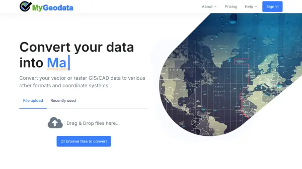 MyGeodata Converter Convert GIS and CAD data online with ease
MyGeodata Converter is an online tool for converting vector and raster GIS/CAD data between various formats and coordinate systems. It supports bulk conversions, CAD formats, and Google Earth output.
- Freemium
- From 10$
-
11
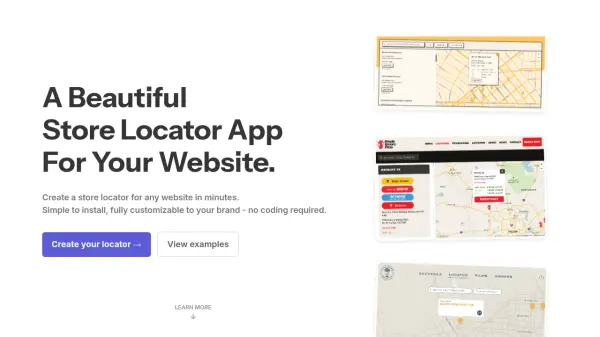 Storepoint Create a Beautiful, Custom Store Locator for Your Website Instantly
Storepoint is a fully customizable store locator app that enables businesses to quickly and easily add a branded, responsive location finder to any website without coding.
- Paid
- From 25$
-
12
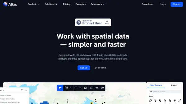 atlas.co Work with spatial data — simpler and faster
Atlas is a browser-based GIS platform designed to simplify the visualization, analysis, and building of spatial data workflows and web applications.
- Freemium
- From 23$
-
13
 IP2Location Accurate IP Geolocation and Proxy Detection for Business Intelligence
IP2Location provides precise IP address data and proxy threat intelligence with daily updates, enabling businesses to enhance security, prevent fraud, and localize content through comprehensive network metadata analysis.
- Contact for Pricing
Didn't find tool you were looking for?