 ReddRadar
Top AI tools for GIS
-
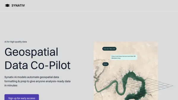 Synativ Geospatial Data Co-Pilot
Synativ utilizes AI to automate geospatial data formatting and preparation, delivering analysis-ready data in minutes. It significantly reduces manual labor and human error in geospatial data processing.
- Contact for Pricing
-
 repromptai.com AI Agents for Location Data
Reprompt provides AI agents to automatically enrich and validate location data. It offers real-time data updates, custom attribute generation, and automated review of place and GIS data.
- Usage Based
-
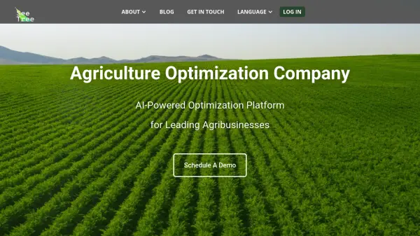 SeeTree AI-Powered Optimization Platform for Leading Agribusinesses
SeeTree offers an AI-powered optimization platform for agribusinesses, providing comprehensive data and tools to enhance planning, execution, and efficiency in agricultural operations.
- Contact for Pricing
-
 Garudalytics Solving real-world challenges using GeoAI.
Garudalytics provides Geospatial AI (GeoAI) solutions, extracting insights from location data to address challenges across various sectors.
- Contact for Pricing
-
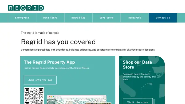 Regrid Comprehensive parcel data with boundaries, buildings, addresses, and geographic enrichments for all your location decisions.
Regrid provides comprehensive parcel data for the U.S. and Canada, including boundaries, ownership, addresses, and geographic insights, accessible via app, data store, API, and enterprise solutions.
- Freemium
-
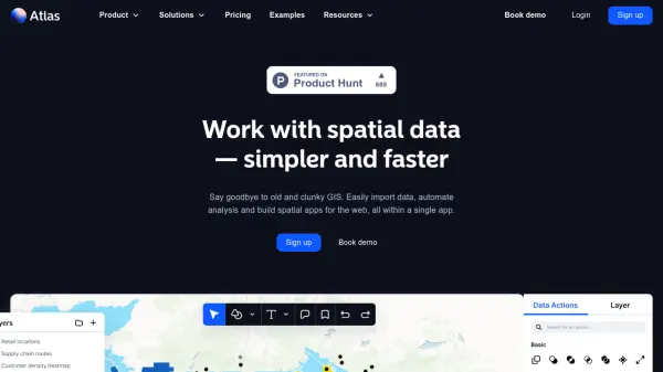 atlas.co Work with spatial data — simpler and faster
Atlas is a browser-based GIS platform designed to simplify the visualization, analysis, and building of spatial data workflows and web applications.
- Freemium
- From 23$
-
 Geospatial Cloud Serv Advanced geospatial data serving and microservices for comprehensive GIS solutions
Geospatial Cloud Serv provides a powerful self-hosted solution for advanced geospatial data serving, microservices, and APIs, compatible with various GIS platforms and mobile applications.
- Pay Once
-
 Snappy Mapper Democratising Geospatial Data
Snappy Mapper simplifies spatial data collection for non-technical users, enabling field teams to create GIS-ready data without specialist tools or training.
- Freemium
- From 190$
-
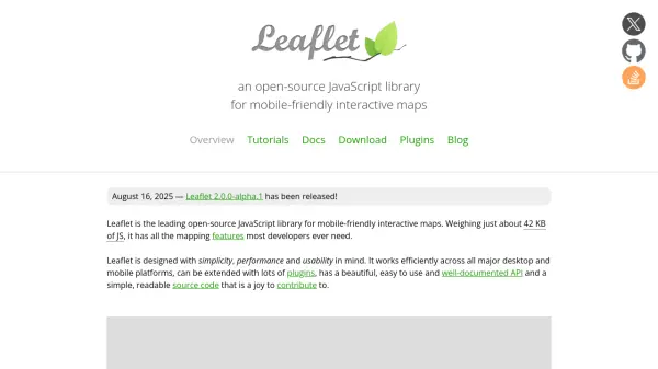 Leaflet Open-source JavaScript library for mobile-friendly interactive maps
Leaflet is a lightweight open-source JavaScript library for creating mobile-friendly interactive maps with all essential mapping features, designed for simplicity, performance, and usability across desktop and mobile platforms.
- Free
-
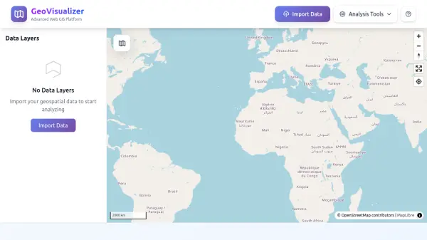 GeoVisualizer Advanced Web GIS Platform for Spatial Data Analysis
GeoVisualizer is an advanced web GIS platform that allows users to import, analyze, and export geospatial data with a variety of spatial analysis tools including buffer analysis, dissolve, centroids, grid generation, and more.
- Free
Explore More Tags
-
compliance tools 77 tools
-
GDPR 57 tools
-
legal research 48 tools
-
productivity 231 tools
-
document interaction 31 tools
-
content analysis 116 tools
-
audio transcription 71 tools
-
video transcription 81 tools
-
meeting minutes 20 tools
Didn't find tool you were looking for?