

TopoExport - Alternatives & Competitors
Download 2D maps and 3D models in record time, anywhere in the world.
TopoExport is an AI-powered platform that enables professionals to quickly export customizable 2D topographic maps and 3D terrain models in various vector formats for architecture, urban planning, and design projects.

Ranked by Relevance
-
1
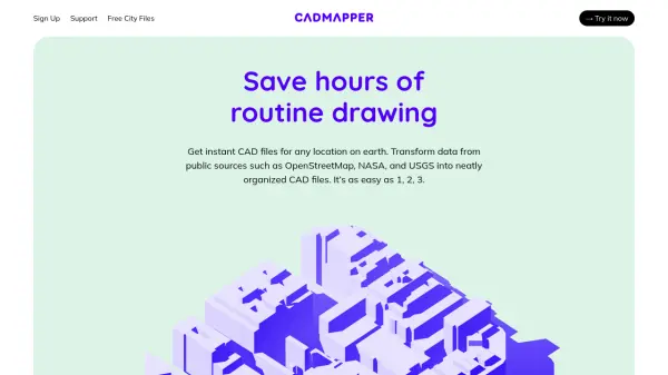 Cadmapper Get instant CAD files for any location on earth
Cadmapper transforms data from public sources like OpenStreetMap, NASA, and USGS into neatly organized CAD files, saving hours of routine drawing for designers, architects, and illustrators.
- Freemium
-
2
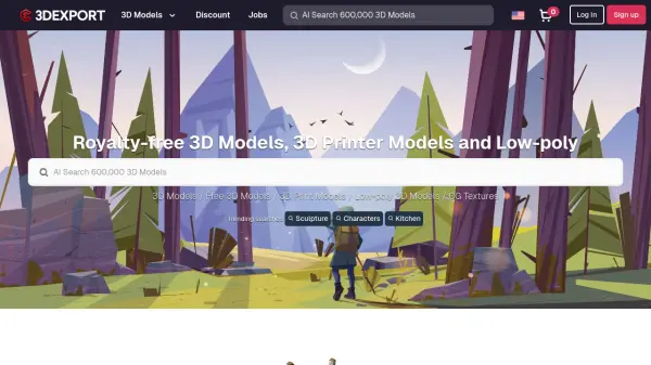 3DExport Royalty-free 3D Models, 3D Printer Models and Low-poly Assets Marketplace
3DExport is a comprehensive marketplace for buying and selling royalty-free 3D models, 3D printing models, and low-poly assets across multiple formats and categories, serving digital artists and creators worldwide.
- Other
-
3
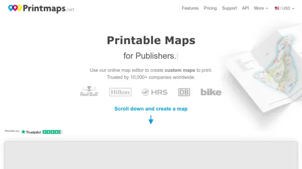 Printmaps Printable Maps for Print Designers
Printmaps.net is an online map editor that enables users to create custom high-resolution printable maps for various applications, trusted by over 10,000 companies worldwide.
- Paid
-
4
 Pix4D Professional photogrammetry and 3D mapping solutions for digitizing reality
Pix4D provides advanced photogrammetry software and cloud solutions for creating accurate 2D maps, 3D models, and point clouds from drone and terrestrial imagery, serving industries like surveying, construction, agriculture, and public safety.
- Freemium
-
5
 3D CAD Browser Professional 3D Models Library for Designers and Engineers
3D CAD Browser is an online platform offering over 23,800 3D models, including 3,300+ CAD solids and 800+ free models, compatible with major 3D and CAD software.
- Other
-
6
 Text to 3D Convert any text into a 3D model
Text to 3D is an AI-powered tool that transforms textual descriptions into 3D models instantly, making 3D creation accessible to everyone.
- Contact for Pricing
-
7
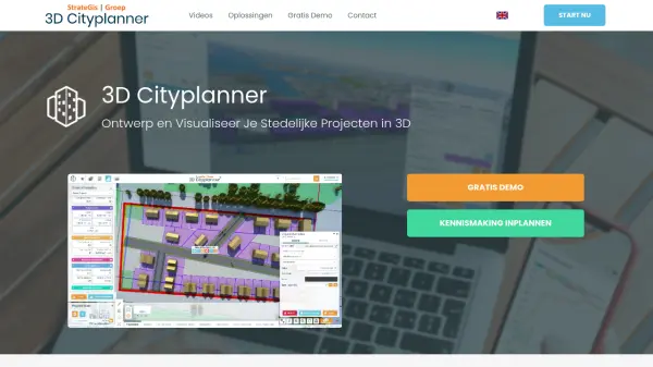 3D Cityplanner Design and Visualize Urban Projects with Smart 3D Planning
3D Cityplanner enables professionals to design, analyze, and visualize urban development projects using advanced data layers and AI-powered planning tools within a detailed 3D environment.
- Freemium
-
8
 Terrain Navigator Pro Generating work flow efficiency and increasing return on investment for today’s mapping professionals
Terrain Navigator Pro is a comprehensive mapping platform that combines topographic maps and aerial photos with powerful mapping tools for creating, editing, and synchronizing map projects across desktop, web, and mobile devices.
- Free Trial
-
9
 Polycam 3D scanning platform - Digitize spaces and objects with precision
Polycam is a comprehensive 3D scanning platform that enables users to create, measure, and share 3D models of spaces and objects using LiDAR, photogrammetry, and 360-degree imaging technologies.
- Freemium
- From 25$
-
10
 3DF Zephyr The Complete Photogrammetry Solution
3DF Zephyr is an all-in-one photogrammetry software suite that automatically reconstructs 3D models from photos and videos, supporting various cameras and sensors for applications in surveying, construction, cultural heritage, and more.
- Other
Didn't find tool you were looking for?