ReddRadar
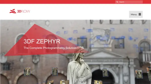
What is 3DF Zephyr?
3DF Zephyr is a comprehensive photogrammetry solution designed to reconstruct 3D models automatically from photographs and video data. The software supports a wide range of cameras, lenses, and acquisition techniques, allowing users to process aerial and ground imagery, including spherical pictures, multispectral, and thermal + RGB data. It also integrates laser scan data for enhanced 3D scanning capabilities.
This versatile tool offers professional editing features, utilities like 3DF Masquerade and BIM integration, and tools for scaling, georeferencing, and calculating distances, volumes, and areas. Users can generate deliverables such as true orthophotos, DSM, DTMs, NDVI maps, sections, contour lines, and CAD drawings, exporting results in common file formats for various industries.
Features
- Automatic 3D Reconstruction: Processes photos and videos from any sensor to create accurate 3D models
- Multi-Sensor Support: Handles aerial, ground, spherical, multispectral, and thermal + RGB imagery
- Laser Scan Integration: Imports and registers laser scan data in native file formats
- Professional Toolkit: Includes editing tools, BIM integration, batch processing, and DEM viewer
- Deliverables Generation: Produces orthophotos, DSM, DTMs, NDVI maps, sections, and CAD drawings
Use Cases
- Surveying and mapping with drone imagery
- Mining volume calculations and site analysis
- Construction progress monitoring and as-built data retrieval
- Architectural facade orthophotos and CAD polylines
- Cultural heritage conservation and fine art documentation
- VFX and gaming asset creation from real objects
- 3D printing and manufacturing pipeline optimization
- Agricultural field inspection with vegetation index maps
- Engineering design support and BIM-ready models
Related Queries
Helpful for people in the following professions
3DF Zephyr Uptime Monitor
Average Uptime
0%
Average Response Time
0 ms