 ReddRadar
Top AI tools for urban planning
-
 Iris Roads Know your roads. Protect your assets.
Iris Roads is an AI-powered infratech solution that automates road maintenance and asset management through specialized cameras, flexible dashboards, and intelligent data processing for public and private sector organizations.
- Contact for Pricing
-
 GoodVision AI-Driven Traffic Solutions for Safer, Smarter Cities
GoodVision offers AI-powered traffic monitoring and analytics solutions that help cities optimize traffic flow, prevent congestion, and enhance road safety through real-time camera-based analytics.
- Contact for Pricing
-
 Hayden AI Revolutionizing Problem-Solving with AI
Hayden AI provides an AI-powered mobile perception platform that utilizes deep learning for various applications, including automated traffic enforcement and data-driven insights for cities.
- Contact for Pricing
-
 TestFit Real Estate Feasibility Platform for Faster Deal Evaluation
TestFit is an AI-powered real estate feasibility platform that accelerates site planning and deal evaluation using generative design and real-time insights.
- Paid
- From 100$
-
 GeoAI Harnessing AI and Spatial Data for Innovation
GeoAI combines Artificial Intelligence with geospatial engineering to analyze location-based data, satellite imagery, and advanced analytics for smarter decision-making in various industries.
- Contact for Pricing
-
 Runopt AI-powered software for land development delivering cost-effective, sustainable designs in minutes.
Runopt is an AI-powered software transforming land development by integrating design optimization for cost-effective, sustainable designs. It streamlines site analysis, grading, drainage, and reporting for civil engineers and developers.
- Contact for Pricing
-
 DigitalBlueFoam AI-Powered Planning and Design for Facilities and Masterplans
DigitalBlueFoam offers AI-powered enterprise software for urban consultants and designers, focusing on generative design, spatial analytics, and sustainability for facilities and masterplans. Optimize project delivery, reduce costs, and enhance efficiency with advanced AI algorithms.
- Contact for Pricing
-
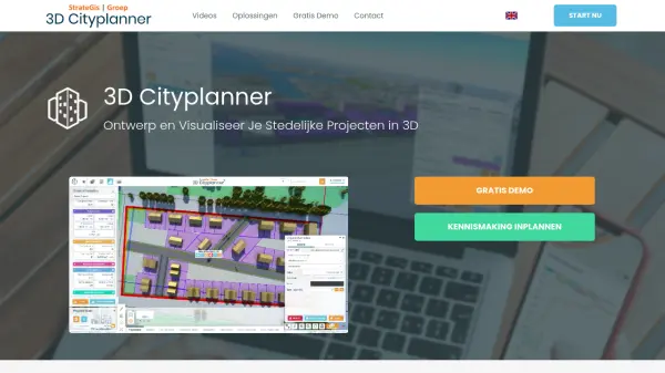 3D Cityplanner Design and Visualize Urban Projects with Smart 3D Planning
3D Cityplanner enables professionals to design, analyze, and visualize urban development projects using advanced data layers and AI-powered planning tools within a detailed 3D environment.
- Freemium
-
 Modelur SketchUp Supercharged for Urban Design
Modelur is an AI-powered urban design plugin for SketchUp that enables architects and planners to explore design possibilities with real-time feedback on key metrics through seamless Excel integration.
- Freemium
- From 74$
-
 Cadmapper Get instant CAD files for any location on earth
Cadmapper transforms data from public sources like OpenStreetMap, NASA, and USGS into neatly organized CAD files, saving hours of routine drawing for designers, architects, and illustrators.
- Freemium
-
 Happy Cities Creating happier, healthier, more inclusive communities through urban planning and design
Happy Cities is an urban planning, design, and research consultancy that works with governments, developers, and non-profits worldwide to design neighborhoods, public spaces, and housing that nurture wellbeing for all community members.
- Contact for Pricing
-
 The Boring Company Accelerate Civilization With Subterranean Technology
The Boring Company develops safe, fast-to-dig, and low-cost transportation, utility, and freight tunnels to solve traffic congestion and enable rapid point-to-point transportation in cities.
- Contact for Pricing
-
 TopoExport Download 2D maps and 3D models in record time, anywhere in the world.
TopoExport is an AI-powered platform that enables professionals to quickly export customizable 2D topographic maps and 3D terrain models in various vector formats for architecture, urban planning, and design projects.
- Freemium
-
 INRIX Leading Transportation Analytics Solutions Powered by AI
INRIX provides AI-driven transportation analytics solutions that leverage big data to improve mobility, enhance safety, and optimize business operations across various industries.
- Contact for Pricing
-
 SmartCode Transect-based planning and zoning for sustainable development
SmartCode is an open-source, transect-based model code for planning and zoning that promotes compact settlements and preserves rural lands, addressing scales from region to building.
- Free
-
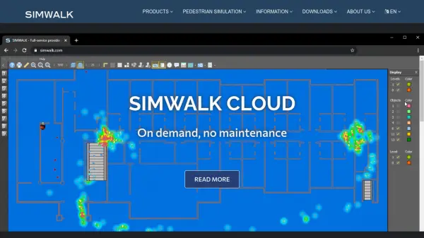 SimWalk Pedestrian Simulation Software for Safer, Smarter Venues
SimWalk is a leading pedestrian simulation software used by authorities and consultancies worldwide to analyze and manage crowd dynamics in transport, aviation, sports, and building environments.
- Paid
Explore More Tags
-
compliance tools 77 tools
-
GDPR 56 tools
-
legal research 48 tools
-
productivity 231 tools
-
document interaction 31 tools
-
content analysis 116 tools
-
audio transcription 71 tools
-
video transcription 81 tools
-
meeting minutes 20 tools
Didn't find tool you were looking for?