

Skycatch - Alternatives & Competitors
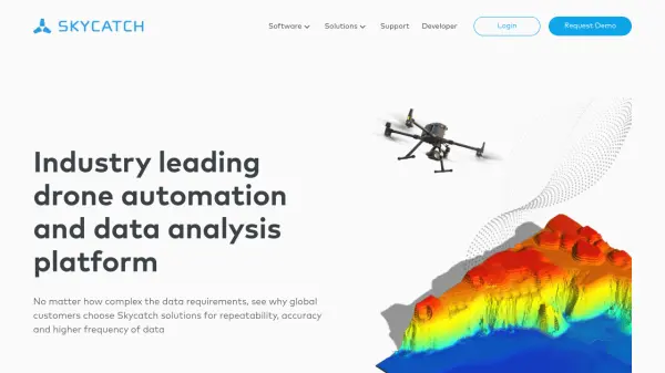
Industry leading drone automation and data analysis platform
Skycatch is an enterprise-grade drone automation and data analysis platform that provides scalable solutions for geospatial data collection, processing, and management with high accuracy and efficiency.
Ranked by Relevance
-
1
 Skydio Know more. Risk less.
Skydio drone programs enhance safety and efficiency through remote autonomous flight, providing crucial data for various industries, including Energy & Utilities, Defense, and Public Safety.
- Contact for Pricing
-
2
 ARU SKYNET On-Demand Aerial Intelligence for Smarter Decisions
ARU SKYNET is an AI-powered drone data management platform that enables organizations to upload, analyze, and collaborate on aerial intelligence with 20x higher resolution for enhanced decision-making.
- Contact for Pricing
-
3
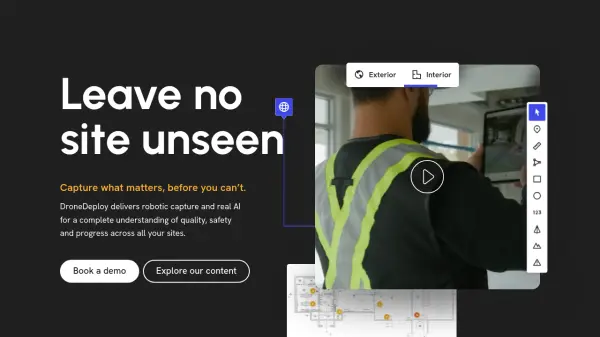 DroneDeploy Capture what matters, before you can't.
DroneDeploy is a unified reality capture platform that uses AI and robotics to provide comprehensive site documentation, quality checks, and progress tracking across construction, mining, utilities, and other industries.
- Freemium
- From 165$
-
4
 FlyPix AI Geospatial AI Platform for Analyzing Earth's Surface
FlyPix AI is a geospatial analysis platform that uses AI to detect and analyze objects in images. Train custom AI models and analyze geospatial data tied to coordinates.
- Freemium
- From 50$
-
5
 FlytBase Enterprise AI Platform for Drone Autonomy
FlytBase is an enterprise AI platform enabling fully automated, end-to-end drone-in-a-box solutions, focusing on data security, scalability, and integration for commercial applications.
- Freemium
- From 99$
-
6
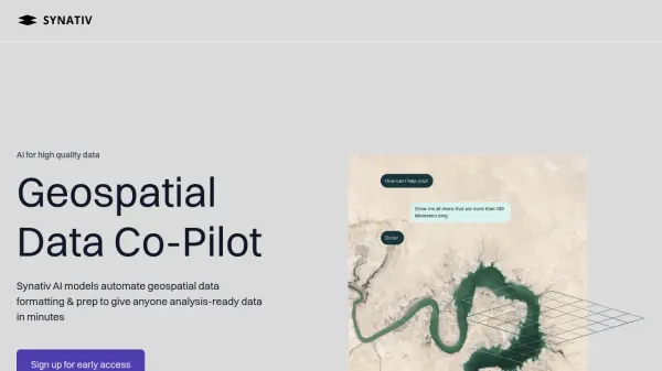 Synativ Geospatial Data Co-Pilot
Synativ utilizes AI to automate geospatial data formatting and preparation, delivering analysis-ready data in minutes. It significantly reduces manual labor and human error in geospatial data processing.
- Contact for Pricing
-
7
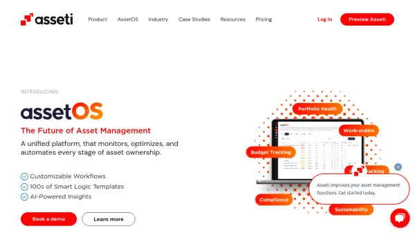 Asseti A unified platform that monitors, optimizes, and automates every stage of asset ownership
Asseti is an AI-powered asset condition monitoring platform that automates property asset management through drone imagery capture, 3D modeling, and intelligent analysis for enterprise asset and facility managers.
- Usage Based
-
8
 Wherobots The Spatial Intelligence Cloud for Planetary-Scale Analytics
Wherobots is a comprehensive spatial data platform that combines ETL, analytics, and AI capabilities for processing geospatial data at scale, created by the original developers of Apache Sedona.
- Freemium
Didn't find tool you were looking for?