 ReddRadar

Skycatch Uptime Monitor
Industry leading drone automation and data analysis platform
Last 30 Days Performance
Average Uptime
0%
Based on 30-day monitoring period
Average Response Time
0ms
Mean response time across all checks
Daily Status Overview
Hover for detailsRelated Uptime Monitors
Explore uptime status for similar tools that also have monitoring enabled.
-
 Operational
Skydio
Know more. Risk less.
Skydio drone programs enhance safety and efficiency through remote autonomous flight, providing crucial data for various industries, including Energy & Utilities, Defense, and Public Safety.
Last checked: 1 month ago View Status -
 Operational
ARU SKYNET
On-Demand Aerial Intelligence for Smarter Decisions
ARU SKYNET is an AI-powered drone data management platform that enables organizations to upload, analyze, and collaborate on aerial intelligence with 20x higher resolution for enhanced decision-making.
Last checked: 1 month ago View Status -
 Operational
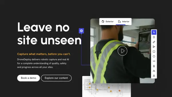
DroneDeploy
Capture what matters, before you can't.
DroneDeploy is a unified reality capture platform that uses AI and robotics to provide comprehensive site documentation, quality checks, and progress tracking across construction, mining, utilities, and other industries.
Last checked: 1 month ago View Status -
 Operational
FlyPix AI
Geospatial AI Platform for Analyzing Earth's Surface
FlyPix AI is a geospatial analysis platform that uses AI to detect and analyze objects in images. Train custom AI models and analyze geospatial data tied to coordinates.
Last checked: 1 month ago View Status -
 Operational
FlytBase
Enterprise AI Platform for Drone Autonomy
FlytBase is an enterprise AI platform enabling fully automated, end-to-end drone-in-a-box solutions, focusing on data security, scalability, and integration for commercial applications.
Last checked: 1 month ago View Status -
 Issues
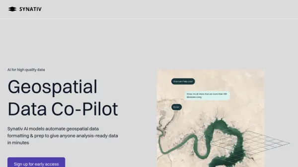
Synativ
Geospatial Data Co-Pilot
Synativ utilizes AI to automate geospatial data formatting and preparation, delivering analysis-ready data in minutes. It significantly reduces manual labor and human error in geospatial data processing.
Last checked: 1 month ago View Status