ReddRadar


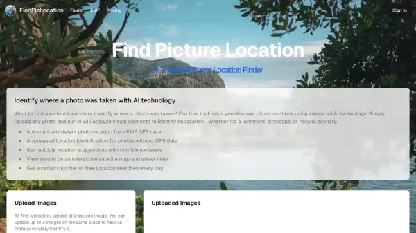
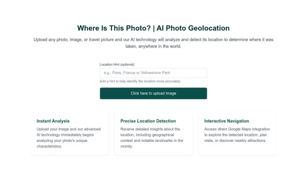
What is Picarta?
Picarta utilizes Artificial Intelligence to identify the location where a photograph has been taken. The tool analyzes the image and provides details such as latitude, longitude, time stamp and camera details.
It empowers users with an accurate and reliable image geolocalization solution. Picarta offers different plans, including a free plan, a wallet option, a monthly subscription, and an enterprise plan.
Features
- Image to GPS: Determines the location of a photo using AI.
- Image EXIF Data: Provides metadata extracted from the image.
- Landmark Detection: Identifies landmarks within the image.
- Worldwide Search: Ability to search for the location globally.
- Specify Location Search: Allows the restriction of the search to a particular area.
Use Cases
- Geolocating personal photos
- Researching image origins
- Investigating image locations for businesses
- Exploration and discovery of new places
FAQs
-
What is Picarta's vision?
Picarta's vision is to empower individuals and businesses with the most accurate and reliable image geolocalization solution, unlocking new possibilities for exploration, research, and decision-making.
Related Queries
Helpful for people in the following professions
Picarta Uptime Monitor
Average Uptime
0%
Average Response Time
0 ms