 ReddRadar

Picarta Uptime Monitor
AI-Powered Image Geolocalization
Last 30 Days Performance
Average Uptime
0%
Based on 30-day monitoring period
Average Response Time
0ms
Mean response time across all checks
Daily Status Overview
Hover for detailsHistorical Performance
Jan-2026
100% uptime
Monthly Uptime
100%
Monthly Response Time
367ms
Daily Status Breakdown
Dec-2025
98.88% uptime
Monthly Uptime
98.88%
Monthly Response Time
392ms
Daily Status Breakdown
Nov-2025
99.72% uptime
Monthly Uptime
99.72%
Monthly Response Time
410ms
Daily Status Breakdown
Oct-2025
99.86% uptime
Monthly Uptime
99.86%
Monthly Response Time
404ms
Daily Status Breakdown
Sep-2025
99.85% uptime
Monthly Uptime
99.85%
Monthly Response Time
388ms
Daily Status Breakdown
Aug-2025
99.86% uptime
Monthly Uptime
99.86%
Monthly Response Time
372ms
Daily Status Breakdown
Jul-2025
99.8% uptime
Monthly Uptime
99.8%
Monthly Response Time
356ms
Daily Status Breakdown
Jun-2025
99.6% uptime
Monthly Uptime
99.6%
Monthly Response Time
376ms
Daily Status Breakdown
Related Uptime Monitors
Explore uptime status for similar tools that also have monitoring enabled.
-
 Operational
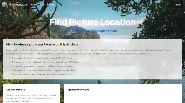
FindPicLocation
AI-Powered Photo Location Finder
FindPicLocation is an AI tool that identifies the geographic location where a photo was taken by analyzing visual cues and EXIF data.
Last checked: 1 month ago View Status -
 Operational
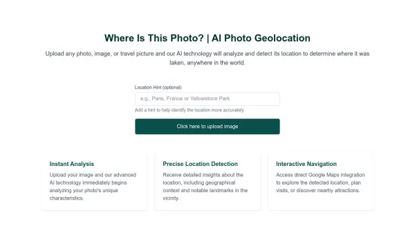
Where Is This Photo?
AI Photo Geolocation
Where Is This Photo? uses AI to analyze uploaded photos and determine the geographical location where they were taken.
Last checked: 1 month ago View Status -
 Operational
Where is this place
AI Photo Locator & Image Location Finder
Where is this place is an AI-powered photo location finder that uses computer vision and metadata analysis to determine where any photo was taken, providing GPS coordinates and landmark identification within seconds.
Last checked: 1 month ago View Status -
 Operational
GeoSpy
Unlock the Power of AI Image intelligence
GeoSpy is an AI-powered platform that converts image data into precise GPS location predictions. It offers advanced location intelligence solutions for various organizations globally.
Last checked: 1 month ago View Status -
 Operational
AITag Photo
AI-powered photo description and tag generator for efficient image organization
AITag Photo is an AI tool that automatically generates accurate descriptions, tags, and keywords for images, helping users organize and manage their photo collections efficiently.
Last checked: 1 month ago View Status -
 Issues
Locationscout
Discover the Best Photography Spots Worldwide
Locationscout provides photographers and travelers with exact geolocations for top photo spots across the globe, enabling seamless trip planning and photographic inspiration.
Last checked: 1 month ago View Status