ReddRadar

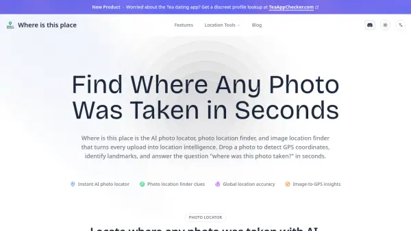
What is Where is this place?
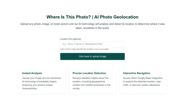
Where is this place is an advanced AI photo locator and image location finder that transforms any uploaded image into precise location intelligence. The platform combines computer vision technology, metadata parsing, and global map data to analyze photos and answer the question "where was this photo taken?" within seconds.
The system matches visual elements like skylines, street signs, and textures against a comprehensive global database while scanning EXIF metadata for hidden GPS data and device insights. Users receive ranked location predictions, interactive map reviews with Street View and satellite layers, and evidence-rich reports containing coordinates, addresses, and contextual verification notes.
Features
- AI Photo Locator Engine: Match skylines, street signs, and textures against global database for location suggestions
- EXIF & Metadata Scan: Surface hidden GPS data, timestamps, and device insights
- Landmark Recognition: Detect monuments, storefronts, and natural features with high-accuracy models
- Interactive Map Review: Investigate suggested coordinates with map previews, Street View, and satellite layers
- Case Management: Organize investigations and group related photos in one place
- Collaboration Ready: Share results securely with teammates and crowdsource local expertise
- Privacy-First Workflow: Keep investigations secure with optional auto-delete and encrypted photo handling
Use Cases
- Travel research and trip planning
- Content verification and fact-checking
- OSINT (Open Source Intelligence) investigations
- Brand safety reviews and monitoring
- Photo organization and geotagging
- Historical photo analysis
- Journalism and research verification
- Educational geography projects
FAQs
-
How does the AI figure out where a photo was taken?
The AI uses computer vision models to compare visual elements against global datasets, scans EXIF metadata for GPS data, and identifies landmarks to determine the photo's location. -
What accuracy can I expect from the results?
The tool provides ranked location predictions with contextual verification, though accuracy depends on image quality and available visual/metadata clues. -
Which file types are supported?
Common image file formats are supported, though specific formats aren't detailed on the homepage. -
Can I use it for investigations or brand safety reviews?
Yes, the tool is designed for OSINT investigations, content verification, and brand safety reviews with privacy-first workflows. -
What happens to my photos after analysis?
Images are processed with encryption, and users can choose to delete results anytime, with optional auto-delete features available.