

GeoComm - Alternatives & Competitors
GIS Solutions for Enhanced Emergency Response and Public Safety
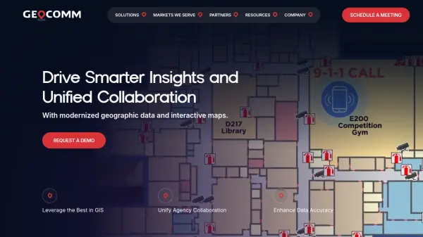
GeoComm delivers advanced GIS mapping software and services designed to improve emergency response, school safety, and data management for public safety agencies and educational institutions.
Ranked by Relevance
-
1
 NextGIS All-in-one GIS platform for maps and geodata
NextGIS provides comprehensive GIS solutions with web, mobile, desktop, and server tools for creating, managing, and sharing spatial data and interactive maps.
- Contact for Pricing
-
2
 StreetWise CADlink Tablet-Based Fire & EMS Response Software for Enhanced Safety
StreetWise CADlink provides a comprehensive suite of software tools designed specifically for fire and emergency medical services, enabling real-time incident management, advanced mapping, and robust pre-incident planning. Its seamless integrations support safer, more coordinated emergency responses.
- Contact for Pricing
-
3
 Mapline Geo-Powered Analytics and Mapping for Business Success
Mapline is a geo-intelligent analytics platform that empowers businesses to visualize, optimize, and manage location-based data through powerful mapping, routing, BI, and scheduling solutions.
- Free Trial
-
4
 Nexgen Public Safety Solutions Leading Law Enforcement Technology for Seamless Public Safety Operations
Nexgen Public Safety Solutions provides an all-in-one software platform designed to enhance law enforcement operations through integrated Computer-Aided Dispatch, Record Management Systems, and real-time analytics.
- Contact for Pricing
-
5
 Who's Responding Real-Time Responder Notification and Tracking for Emergency Teams
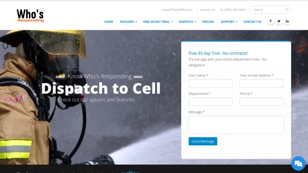
Who's Responding provides public safety teams with real-time notifications, responder tracking, and advanced communication features to enhance emergency response efficiency.
- Free Trial
-
6
 RapidSOS Connecting intelligent safety data directly to 911 & first responders
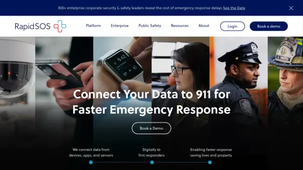
RapidSOS is an emergency response platform that connects data from over 540 million devices directly to 911 and field responders, enabling faster and more efficient emergency response through AI-powered solutions.
- Contact for Pricing
-
7
 Snappy Mapper Democratising Geospatial Data
Snappy Mapper simplifies spatial data collection for non-technical users, enabling field teams to create GIS-ready data without specialist tools or training.
- Freemium
- From 190$
-
8
 Family Locator See the real-time location of your kids on the map and stay in touch with instant messages
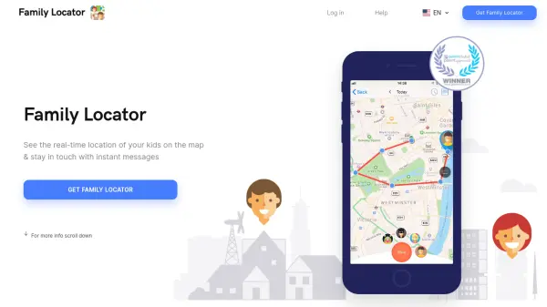
Family Locator is a family safety app that enables real-time location tracking, safe/unsafe zone creation with notifications, SOS alerts, and location history to keep families connected and secure.
- Other
-
9
 Citizen Your personal safety network for real-time alerts and community protection.
Citizen is a personal safety network that provides real-time 911 alerts, live incident videos, and safety tracking to help users protect themselves and their loved ones.
- Free
-
10
 Mapit GIS Mobile GIS for asset collection, GPS surveys, and field data management
Mapit GIS is a professional mobile GIS platform for iOS and Android that enables offline-first data collection, GPS surveys, and field data management with support for GeoPackage, multiple export formats, and sub-metre GNSS accuracy.
- Other
-
11
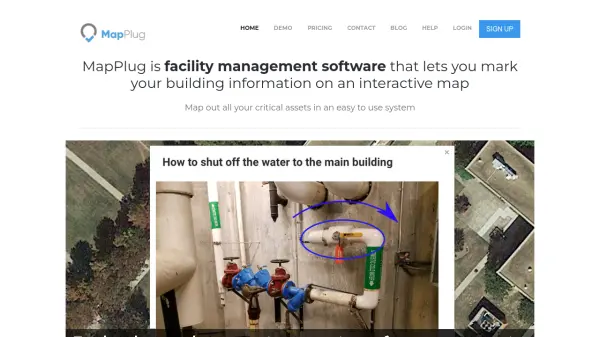 MapPlug Facility management software that lets you mark your building information on an interactive map
MapPlug is a cloud-based facility management software that enables users to document building assets, floor plans, and emergency procedures on interactive maps for improved property management and emergency response.
- Freemium
- From 49$
-
12
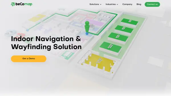 beComap Seamless Indoor Navigation and Location Services for Smart Buildings
beComap delivers advanced indoor navigation, asset tracking, and proximity services, tailored to streamline complex indoor environments such as malls, hospitals, airports, and large event venues.
- Contact for Pricing
-
13
 Geospatial Analytics Real Estate Decision Intelligence Software
Geospatial Analytics delivers advanced real estate management technologies and analytical platform solutions, enabling portfolio optimization and informed decision-making through data-driven insights.
- Contact for Pricing
-
14
 CentralSquare Hero-grade software for public service mission-critical operations
CentralSquare provides comprehensive cloud-based software solutions for public safety, justice, and administration agencies, trusted by over 8,000 organizations across North America.
- Contact for Pricing
-
15
 Geospatial Cloud Serv Advanced geospatial data serving and microservices for comprehensive GIS solutions
Geospatial Cloud Serv provides a powerful self-hosted solution for advanced geospatial data serving, microservices, and APIs, compatible with various GIS platforms and mobile applications.
- Pay Once
-
16
 Geooco Revolutionary GPS Tracking and Fleet Management Solutions
Geooco offers advanced GPS tracking and fleet management solutions using machine-to-machine (m2m) technologies, enabling real-time monitoring, driver behavior analysis, fuel management, and global coverage for fleet operators.
- Pay Once
-
17
 Carta Maps Build Custom Interactive Maps with Ease
Carta Maps is an AI-powered platform for creating custom interactive maps with intuitive styling tools, real-time collaboration, and advanced features like geocoding, boundary finding, and drawing tools.
- Freemium
- From 9$
-
18
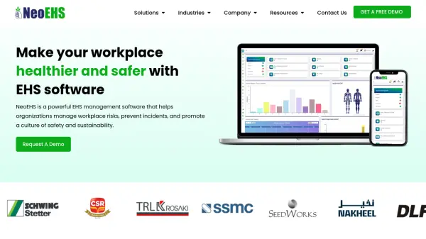 NeoEHS Unified EHS Software for Workplace Safety and Compliance
NeoEHS is a comprehensive EHS management software designed to streamline risk, incident, audit, and environmental health and safety processes across industries, promoting safer and more sustainable workplaces.
- Contact for Pricing
-
19
 Geozilla Advanced GPS tracking with machine learning for family safety
Geozilla is a GPS tracking app that uses machine learning algorithms to ensure the safety of loved ones by providing real-time location sharing, crash detection, and driver safety monitoring.
- Paid
- From 20$
-
20
 Adashi Comprehensive Incident Management Software for First Responders
Adashi offers a complete public safety software platform to help emergency services organizations streamline staffing, response, and incident management for efficient and effective operations.
- Contact for Pricing
-
21
 PolicyMap Comprehensive Mapping & Data Analytics For Smarter Decision-Making
PolicyMap is a cloud-based platform offering extensive data mapping, visualization, and analytics tools, empowering users to make impactful, data-driven decisions across sectors such as government, non-profit, finance, academic, and healthcare.
- Contact for Pricing
-
22
 YouMap Create Social, Customizable Maps in Real-Time
YouMap is an interactive mapping platform that empowers users to create, customize, and share real-time maps on topics they care about, fostering community engagement and exploration.
- Free
-
23
 Tile38 Ultra Fast Geospatial Database & Geofencing Server
Tile38 is an open-source geospatial database and geofencing server that delivers real-time location-based notifications and high-performance spatial indexing for applications.
- Other
-
24
 GeoAI Harnessing AI and Spatial Data for Innovation
GeoAI combines Artificial Intelligence with geospatial engineering to analyze location-based data, satellite imagery, and advanced analytics for smarter decision-making in various industries.
- Contact for Pricing
-
25
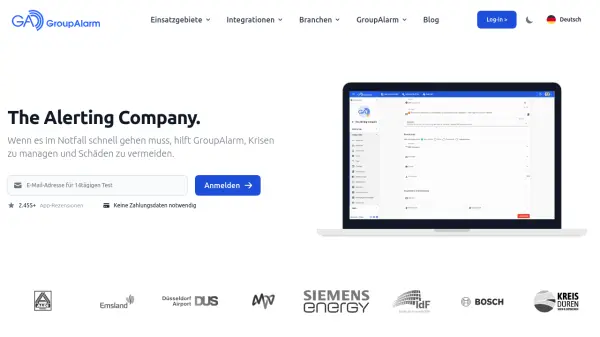 GroupAlarm The Alerting Company for critical communication and effective collaboration.
GroupAlarm is a cloud-based alerting platform that enables organizations to manage crises, avoid damage, and ensure precise emergency notifications with one-button activation.
- Contact for Pricing
-
26
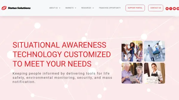 Status Solutions Situational Awareness Technology Customized to Meet Your Needs
Status Solutions provides customized situational awareness technology solutions for life safety, security, environmental monitoring, and mass notification across various markets including education, healthcare, and business.
- Contact for Pricing
-
27
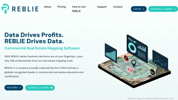 REBLIE Commercial Real Estate Mapping Software with AI-Powered Insights
REBLIE streamlines commercial real estate mapping by combining robust demographic data, GIS overlays, and AI-enhanced insights for agents, brokers, and CRE professionals.
- Paid
-
28
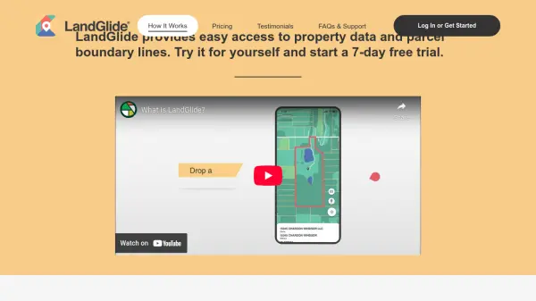 LandGlide Comprehensive Parcel Data and Property Line Mapping Anywhere
LandGlide offers advanced parcel data and property line mapping with GPS location, providing access to over 157 million U.S. parcel records on desktop and mobile devices.
- Freemium
- From 10$
-
29
 SphereHunt Your Go-To Real-Time, Location-Based App
SphereHunt is a real-time location-based app that enables users to publish reports, receive instant local alerts, and engage with their community through an integrated map and chat features.
- Free
-
30
 SpatialPoint Location Intelligence for Powerful Business Decisions
SpatialPoint provides AI-powered location intelligence solutions including mapping, geocoding, address validation, and demographic analysis to solve complex business location challenges.
- Contact for Pricing
-
31
 Zoom Earth Interactive Global Weather Mapping in Real Time
Zoom Earth offers near real-time weather visualization with interactive maps and satellite imagery, enabling users to track storms, wildfires, and weather conditions globally.
- Free
-
32
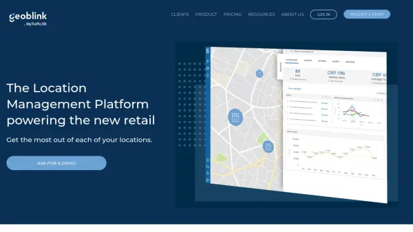 Geoblink The Location Management Platform powering the new retail
Geoblink is a location management platform providing data-driven insights for retail, commercial real estate, and consumer goods sectors to optimize location performance and strategy.
- Contact for Pricing
-
33
 Guardians Safety on the move with trusted location sharing
Guardians is a safety app that allows users to share their GPS location with trusted contacts for protection during potentially unsafe situations like walking alone or meeting strangers.
- Other
Didn't find tool you were looking for?