

AiDASH - Alternatives & Competitors
Securing Tomorrow: Safeguarding Critical Infrastructure with AI
AiDASH offers AI-powered solutions for critical infrastructure management. Its satellite-based systems help industries improve reliability, reduce costs, and manage risks.
Ranked by Relevance
-
1
 EOS Data Analytics Satellite Data Analytics For Daily Earth Insights & Decision-making
EOS Data Analytics is a leading provider of satellite-based monitoring and AI-powered analytics solutions, specializing in agriculture and forestry sectors to drive sustainable business decisions through actionable satellite data.
- Contact for Pricing
-
2
 ClimateAi Get Ahead of Climate Volatility with Hyper-Local, AI-Powered Climate Insights
ClimateAi is an enterprise climate resilience platform that uses AI and patented models to provide actionable climate intelligence for the food and agriculture value chain with 1km spatial resolution technology.
- Contact for Pricing
-
3
 Asseti A unified platform that monitors, optimizes, and automates every stage of asset ownership
Asseti is an AI-powered asset condition monitoring platform that automates property asset management through drone imagery capture, 3D modeling, and intelligent analysis for enterprise asset and facility managers.
- Usage Based
-
4
 EHS Insight Next-Generation EHS & ESG Software, Built for Simplicity and Impact
EHS Insight is an AI-powered environmental, health, and safety management platform that helps organizations build stronger safety cultures, streamline operations, reduce costs, and ensure regulatory compliance through intuitive software and mobile accessibility.
- Contact for Pricing
-
5
 ResourceKraft Advisor Transform Energy Data into Business Opportunity with AI-Powered Monitoring
ResourceKraft Advisor is an AI-driven energy management system that monitors electricity, oil, gas, water, and carbon consumption, providing analytics, reporting, and alerts to optimize efficiency and reduce costs.
- Contact for Pricing
-
6
 GeoAI Harnessing AI and Spatial Data for Innovation
GeoAI combines Artificial Intelligence with geospatial engineering to analyze location-based data, satellite imagery, and advanced analytics for smarter decision-making in various industries.
- Contact for Pricing
-
7
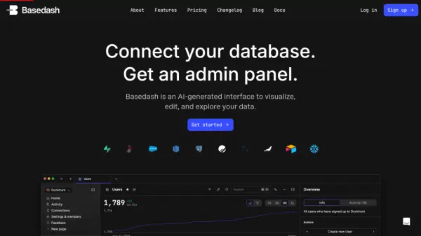 Basedash Connect your database. Get an admin panel.
Basedash is an AI-generated interface that transforms databases into collaborative workspaces for visualizing, editing, and exploring data without coding.
- Freemium
- From 25$
-
8
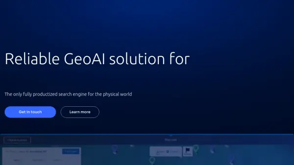 Picterra Reliable GeoAI solution for sustainability, compliance, transparency, accountability, monitoring, and verification.
Picterra is a GeoAI platform that enables users to build and deploy custom AI models for geospatial imagery analysis. It supports various data types and offers solutions for multiple industries, facilitating scalable and collaborative geospatial analysis.
- Contact for Pricing
-
9
 Energy Bots Enabling a Smart, Sustainable Tomorrow
Energy Bots provides next-generation smart energy and water management solutions using IoT technology to optimize resource consumption, reduce operational costs, and support sustainability goals.
- Contact for Pricing
-
10
 FlyPix AI Geospatial AI Platform for Analyzing Earth's Surface
FlyPix AI is a geospatial analysis platform that uses AI to detect and analyze objects in images. Train custom AI models and analyze geospatial data tied to coordinates.
- Freemium
- From 50$
-
11
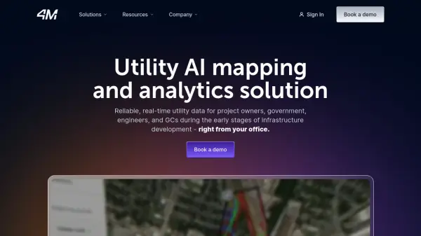 4M Analytics The ultimate source of utility data
4M Analytics is an AI-powered utility mapping and analytics platform that provides real-time utility data and infrastructure mapping solutions for project owners, engineers, and contractors during early-stage infrastructure development.
- Contact for Pricing
-
12
 AGRIVI Powerful Digital Agriculture Solutions Supporting the Agri-Food Value Chain
AGRIVI provides powerful digital agriculture solutions utilizing AI to support the entire agri-food value chain, empowering growers and companies with data-driven tools for efficient and sustainable food production.
- Contact for Pricing
Didn't find tool you were looking for?