 ReddRadar
Top AI tools for Cartographer
-
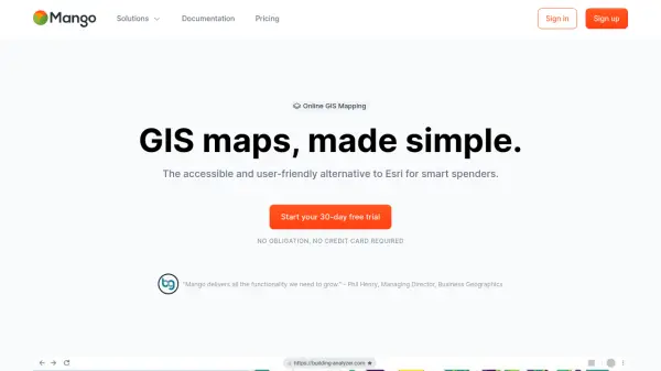 MangoMap Powerful, Affordable Online GIS Mapping for Professionals
MangoMap is an easy-to-use, cost-effective online GIS mapping platform designed for professionals who need robust mapping capabilities without the complexity or high licensing fees of traditional solutions.
- Paid
- From 79$
-
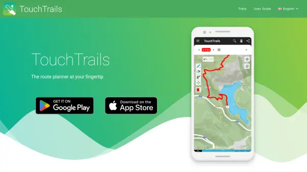 TouchTrails The route planner at your fingertip
TouchTrails is an AI-powered route planning tool that enables users to create, track, and navigate trails for hiking, running, and cycling with intuitive map-based drawing and GPX file support.
- Other
-
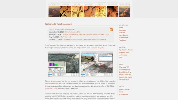 TopoFusion Advanced GPS mapping software for route planning and track manipulation
TopoFusion is a powerful GPS mapping application for Windows that enables users to download maps from multiple servers and manipulate GPX/KML files for route planning and analysis.
- Freemium
-
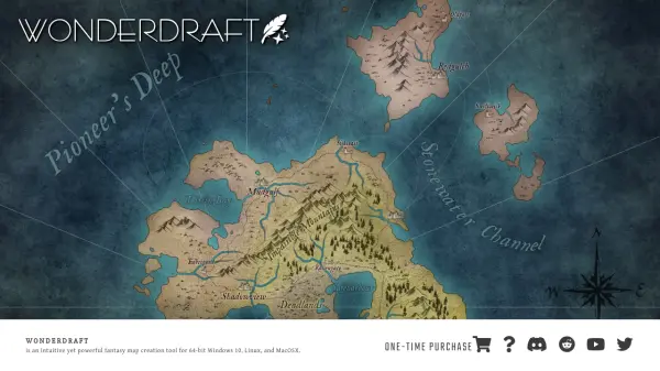 Wonderdraft Fantasy Map Creation Made Intuitive and Artistic
Wonderdraft is a powerful fantasy map creation tool designed for artists, storytellers, and game masters, featuring automated beautification tools and aesthetic customization. Available for Windows, MacOSX, and Linux, it offers user-friendly features with a one-time purchase model.
- Pay Once
-
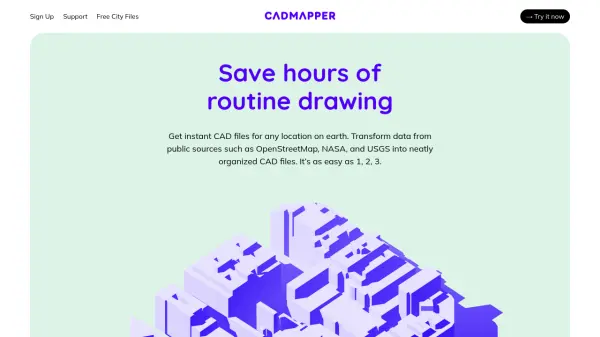 Cadmapper Get instant CAD files for any location on earth
Cadmapper transforms data from public sources like OpenStreetMap, NASA, and USGS into neatly organized CAD files, saving hours of routine drawing for designers, architects, and illustrators.
- Freemium
-
 Every Door The best OpenStreetMap editor for POIs and entrances.
Every Door is an open-source OpenStreetMap editor designed for mapping points of interest, entrances, and micro-mapping features with offline capabilities and AI-assisted data validation.
- Free
-
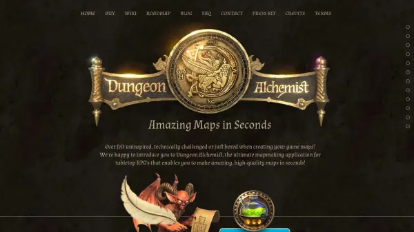 Dungeon Alchemist Amazing Maps in Seconds
Dungeon Alchemist is an AI-powered mapmaking application designed for tabletop RPGs, enabling users to quickly generate and customize high-quality maps.
- Pay Once
-
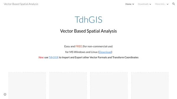 TdhGIS Free Vector-Based Spatial Analysis Software for Windows and Linux
TdhGIS is a free vector-based spatial analysis software for non-commercial use on Windows and Linux, offering tools for creating, editing, and analyzing geographic data with features like importing Shapefiles and OpenStreetMap data, allocating point and polygon data, and creating thiessen polygons and contours.
- Free
-
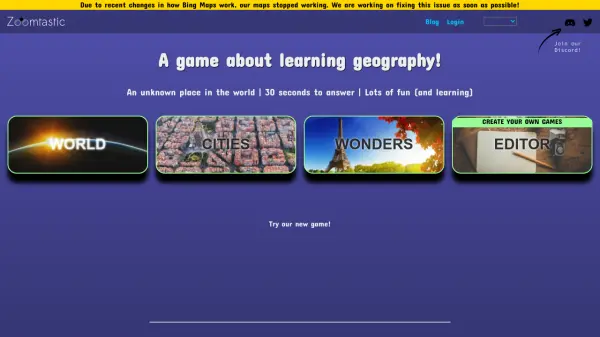 Zoomtastic Game A game about learning geography through interactive map challenges
Zoomtastic Game is an AI-powered geography learning platform where players identify locations on maps that zoom in or out over time, with multiple game modes and custom game creation.
- Free
-
 Chris Henrick Front-End Web Developer & Design Engineer Portfolio
Chris Henrick is a front-end web developer and design engineer specializing in data visualization, web applications, UX prototyping, interaction design, and cartographic design.
- Other
-
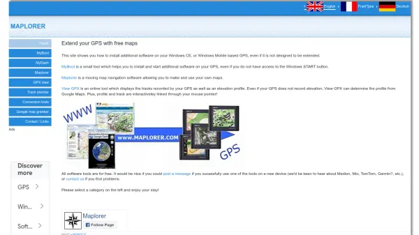 Maplorer Extend your GPS with free maps and navigation tools
Maplorer provides free software tools to enhance GPS devices with custom maps, navigation, and track visualization, compatible with Windows CE and Windows Mobile systems.
- Free
-
 Datum Workstation Advanced Geospatial Analysis and Image Processing Software
Datum Workstation delivers professional GIS, image processing, and terrain analysis solutions, integrating advanced tools for managing, visualizing, and publishing geospatial data on Windows and MacOS platforms.
- Contact for Pricing
-
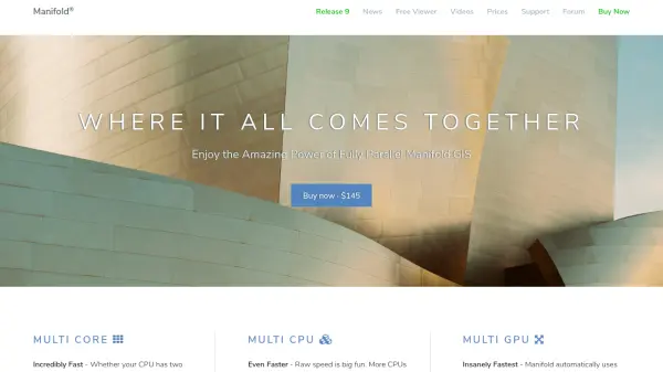 Manifold The world's fastest GIS with built-in parallel DBMS and real SQL
Manifold is a high-performance Geographic Information System (GIS) that combines spatial data visualization with advanced parallel database management capabilities, delivering exceptional speed and reliability for handling large datasets.
- Pay Once
-
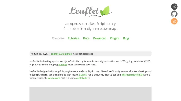 Leaflet Open-source JavaScript library for mobile-friendly interactive maps
Leaflet is a lightweight open-source JavaScript library for creating mobile-friendly interactive maps with all essential mapping features, designed for simplicity, performance, and usability across desktop and mobile platforms.
- Free
-
 Terrain Navigator Pro Generating work flow efficiency and increasing return on investment for today’s mapping professionals
Terrain Navigator Pro is a comprehensive mapping platform that combines topographic maps and aerial photos with powerful mapping tools for creating, editing, and synchronizing map projects across desktop, web, and mobile devices.
- Free Trial
-
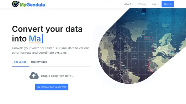 MyGeodata Converter Convert GIS and CAD data online with ease
MyGeodata Converter is an online tool for converting vector and raster GIS/CAD data between various formats and coordinate systems. It supports bulk conversions, CAD formats, and Google Earth output.
- Freemium
- From 10$
-
 Pelias Geocoder A modular, open-source search engine for our world
Pelias is an open-source geocoder that transforms addresses and place names into geographic coordinates and vice versa, powered by open data and built on Elasticsearch for fast global search.
- Freemium
-
 Vector2Raster Tiles Convert Vector Tiles to Raster Tiles Effortlessly
Vector2Raster Tiles automates the conversion of PBF vector tiles to raster formats, facilitating integration with mapping applications that require raster tile support.
- Paid
- From 5$
-
 Paintmaps.com Create Free, Online Map Charts with Your Own Statistical Data, Easily
Paintmaps.com is a free online tool for creating interactive map charts with statistical data visualization, supporting world maps, continent maps, country maps, and more.
- Free
-
 MapTools Professional coordinate plotting tools for mapping and navigation
MapTools manufactures precision coordinate plotting tools for UTM, MGRS, USNG, and Latitude/Longitude systems, used by military, government agencies, and outdoor professionals worldwide.
- Other
-
 gpx.studio Advanced Online GPX File Editor and Route Planner
gpx.studio is an open-source, web-based tool for viewing, editing, and creating GPX files with advanced route planning, file processing, and data visualization, all on beautiful interactive maps.
- Free
-
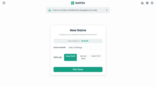 Sattlie Reassemble scrambled satellite images in daily puzzle challenges
Sattlie is an interactive puzzle game where players reassemble scrambled satellite images from Google Maps, featuring daily challenges, multiple difficulty levels, and global leaderboards.
- Free
Featured Tools
Join Our Newsletter
Stay updated with the latest AI tools, news, and offers by subscribing to our weekly newsletter.
Explore More Professions
Didn't find tool you were looking for?