

TouchTrails - Alternatives & Competitors
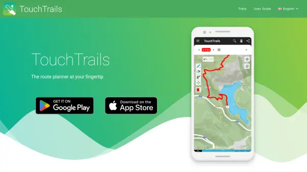
The route planner at your fingertip
TouchTrails is an AI-powered route planning tool that enables users to create, track, and navigate trails for hiking, running, and cycling with intuitive map-based drawing and GPX file support.
Ranked by Relevance
-
1
 Footpath Plan your next adventure in seconds
Footpath is an AI-powered route planning app that enables users to create custom routes with distance measurement, elevation analysis, and turn-by-turn navigation using offline topographic maps.
- Freemium
- From 5$
-
2
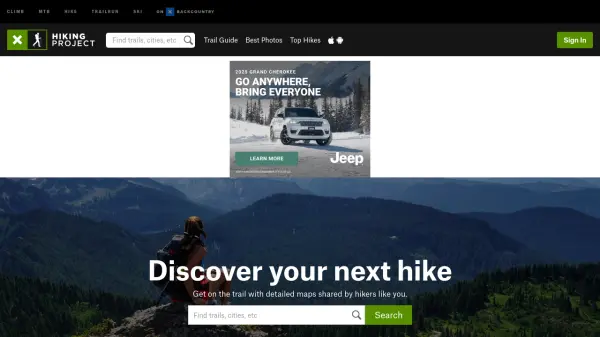 Hiking Project Discover your next hike with detailed maps shared by hikers like you
Hiking Project is a free community-driven platform that helps outdoor enthusiasts discover hiking trails worldwide, featuring detailed maps, trail information, and user-generated content.
- Free
-
3
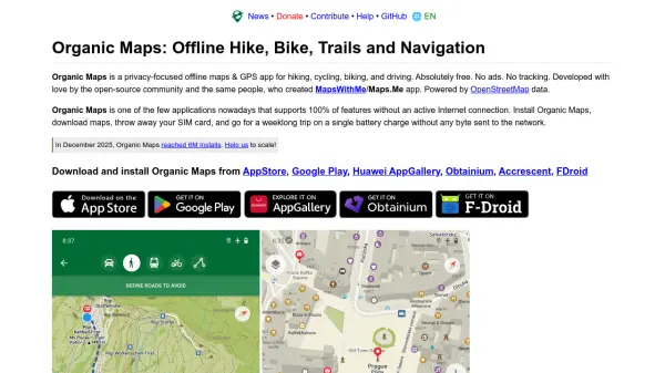 Organic Maps Privacy-focused offline maps & GPS app for hiking, cycling, biking, and driving
Organic Maps is a free, open-source offline navigation app that provides detailed maps, turn-by-turn guidance, and privacy protection for travelers, hikers, and cyclists without requiring an internet connection.
- Free
-
4
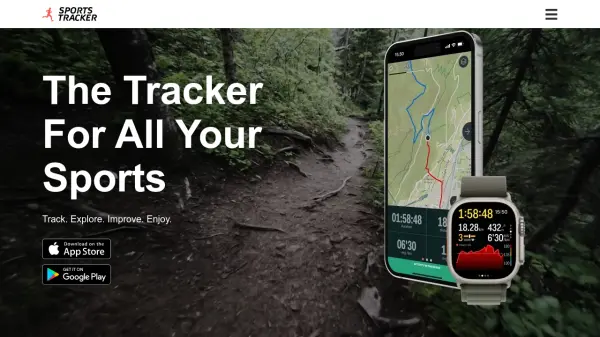 Sports Tracker Track. Explore. Improve. Enjoy.
Sports Tracker is a comprehensive mobile app for tracking over 100 sports and activities, offering detailed analytics, route planning with heatmaps, and integration with Apple Watch and health accessories.
- Other
-
5
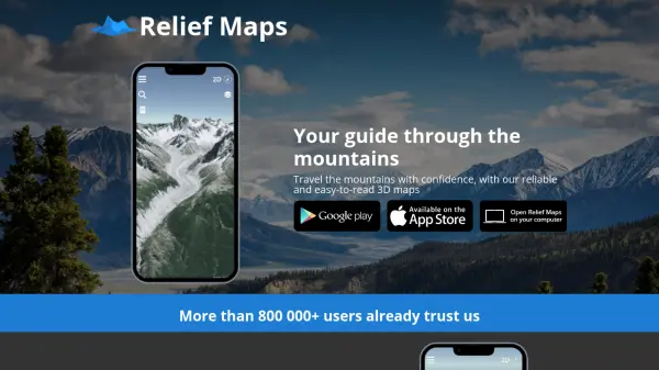 Relief Maps Your guide through the mountains
Relief Maps is a reliable and easy-to-read 3D mapping application for mountain travel, offering route creation, a database of over 1 million routes, and live tracking features.
- Other
-
6
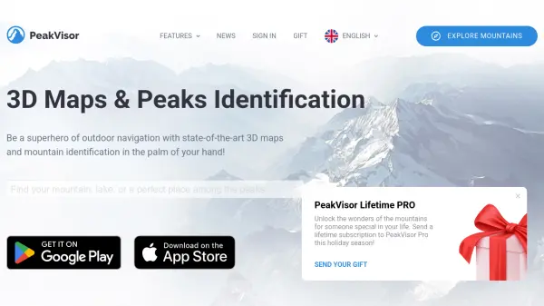 PeakVisor 3D Maps & Real-Time Peak Identification for Mountain Explorers
PeakVisor is an advanced outdoor navigation app offering 3D maps, real-time mountain identification, and offline capabilities, designed for hikers, climbers, and outdoor enthusiasts worldwide.
- Freemium
-
7
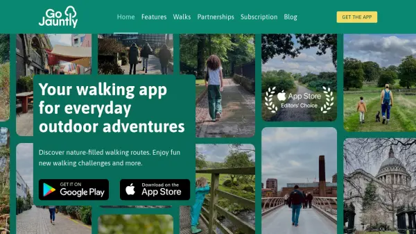 Go Jauntly Your walking app for everyday outdoor adventures
Go Jauntly is a walking app that helps users discover nature-filled walking routes, enjoy walking challenges, and create their own walks with photo guides and nature notes.
- Freemium
- From 4$
-
8
 inRoute Plan your perfect route, then navigate it hands-free in app.
inRoute is an AI-powered route planning and navigation app that optimizes routes between multiple stops based on factors like weather, elevation, and curviness, with hands-free voice-guided navigation for iOS devices and CarPlay.
- Freemium
- From 5$
-
9
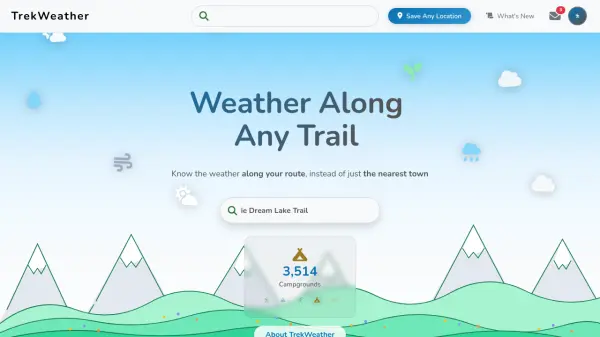 TrekWeather Know the weather along your route, instead of just the nearest town
TrekWeather provides hyper-local weather forecasts for outdoor adventures, offering AI-powered summaries, point forecasts along trails, and multi-model comparisons to help hikers, skiers, and campers plan safely.
- Freemium
-
10
 Motorist Map Your Perfect Drive Awaits
Motorist Map is an AI-powered platform for automotive enthusiasts to create, record, and share driving routes, featuring AI route planning, turn-by-turn navigation, and real-time recording.
- Other
-
11
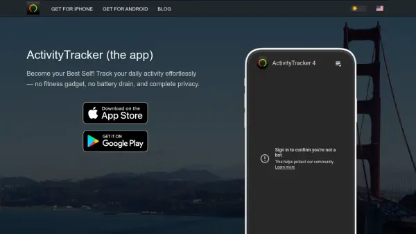 ActivityTracker Become your Best Self with effortless daily activity tracking
ActivityTracker is a mobile app that automatically tracks steps, calories, distance, active time, and floors climbed using your smartphone or smartwatch, with GPS workout tracking for walking, running, cycling, and hiking.
- Freemium
-
12
 MapMyGarden Garden management application - by gardeners, for gardeners!
MapMyGarden is an AI-powered garden management application that helps users plan and manage garden layouts using points, lines, and shapes while keeping track of plant and plot information.
- Other
-
13
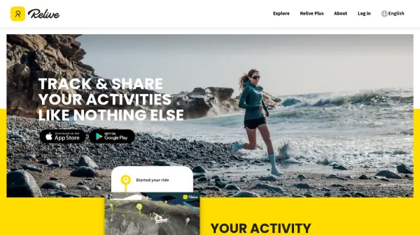 Relive Track & Share Your Activities Like Nothing Else
Relive is an AI-powered platform that transforms outdoor activities into beautiful animated 3D videos and stories, connecting millions of outdoor enthusiasts worldwide.
- Freemium
-
14
 Ferrata Guide Your via ferrata companion for finding, climbing, and rating via ferratas worldwide.
Ferrata Guide is a comprehensive platform and mobile app that helps climbers discover, plan, and track via ferrata routes globally, with features like maps, difficulty ratings, and community-driven content.
- Freemium
- From 2$
-
15
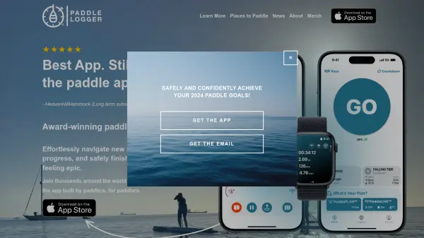 Paddle Logger Award-Winning Paddle App for Enhanced Water Adventures
Paddle Logger is a premier app for tracking, analyzing, and planning paddle sports activities, designed for SUP, kayak, canoe, surfski, and outrigger enthusiasts on iPhone and Apple Watch.
- Freemium
-
16
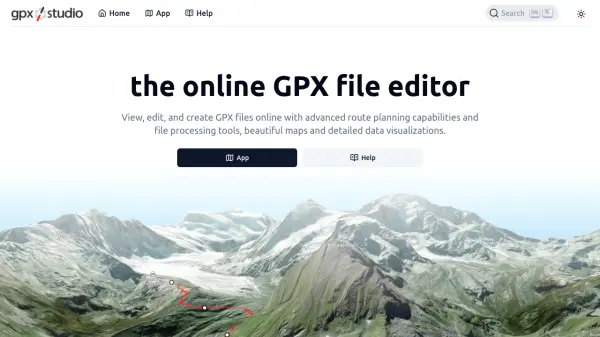 gpx.studio Advanced Online GPX File Editor and Route Planner
gpx.studio is an open-source, web-based tool for viewing, editing, and creating GPX files with advanced route planning, file processing, and data visualization, all on beautiful interactive maps.
- Free
-
17
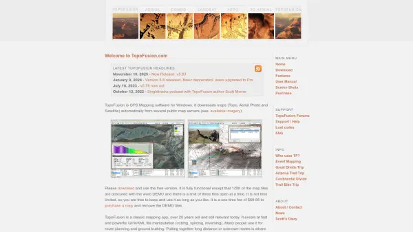 TopoFusion Advanced GPS mapping software for route planning and track manipulation
TopoFusion is a powerful GPS mapping application for Windows that enables users to download maps from multiple servers and manipulate GPX/KML files for route planning and analysis.
- Freemium
-
18
 Mapit GIS Mobile GIS for asset collection, GPS surveys, and field data management
Mapit GIS is a professional mobile GIS platform for iOS and Android that enables offline-first data collection, GPS surveys, and field data management with support for GeoPackage, multiple export formats, and sub-metre GNSS accuracy.
- Other
-
19
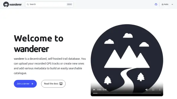 wanderer Decentralized, self-hosted trail database for planning and sharing outdoor adventures
wanderer is a decentralized, self-hosted trail database that enables users to upload GPS tracks, create routes, and build searchable trail catalogues while maintaining full data control through ActivityPub federation.
- Free
-
20
 BikeCompanion Transform your smartphone into a powerful and customizable bike computer
BikeCompanion is an AI-powered cycling app that turns smartphones into advanced bike computers for planning, tracking, and analyzing rides with innovative features like route planning, live segments, group rides, and performance analytics.
- Freemium
- From 3$
-
21
 Vroom Explore. Record. Share. Your road trip companion.
Vroom is an AI-powered app for automotive enthusiasts to record, share, and relive road trips with offline functionality and community features.
- Other
-
22
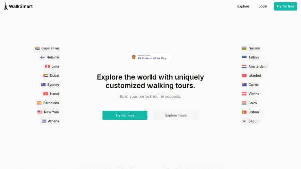 WalkSmart Customized Walking Tours in Seconds
WalkSmart creates uniquely customized walking tours based on your preferences. Explore cities worldwide with personalized routes and audio guidance.
- Free
-
23
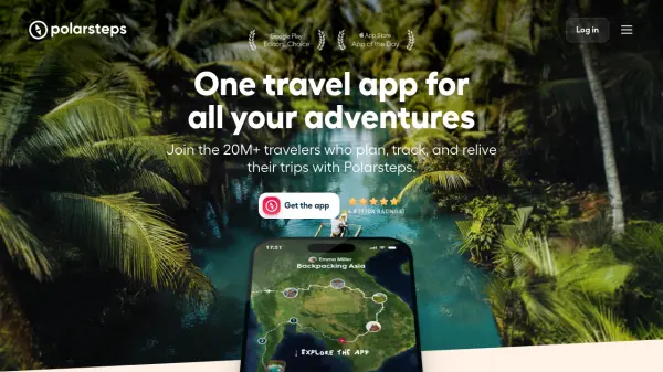 Polarsteps One travel app for all your adventures
Polarsteps is a comprehensive travel app that helps users plan, track, and relive their trips with features like itinerary building, automatic route tracking, and personalized travel books.
- Free
-
24
 HuntWise Advanced Mapping and Forecasting for Smarter Hunting
HuntWise is a comprehensive hunting application providing real-time mapping, forecasting, and expert guidance to help hunters scout with precision and optimize their time in the field.
- Freemium
-
25
 My Elevation Accurate elevation and location data for Android users worldwide
My Elevation is an Android application that provides precise surface elevation data using web-based sources, helping users explore terrain with features like Follow Me mode, search functionality, and customizable map options.
- Free
-
26
 Mapline Geo-Powered Analytics and Mapping for Business Success
Mapline is a geo-intelligent analytics platform that empowers businesses to visualize, optimize, and manage location-based data through powerful mapping, routing, BI, and scheduling solutions.
- Free Trial
-
27
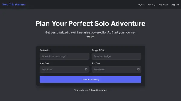 Solo Trip Planner Plan Your Perfect Solo Adventure
Solo Trip Planner generates personalized travel itineraries powered by AI. Get started with your solo journey today.
- Freemium
- From 10$
-
28
 Terrain Navigator Pro Generating work flow efficiency and increasing return on investment for today’s mapping professionals
Terrain Navigator Pro is a comprehensive mapping platform that combines topographic maps and aerial photos with powerful mapping tools for creating, editing, and synchronizing map projects across desktop, web, and mobile devices.
- Free Trial
-
29
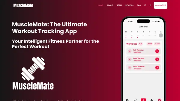 MuscleMate The Ultimate Workout Tracking App
MuscleMate is an intelligent fitness tracking app that simplifies workout logging with an intuitive interface for recording exercises, sets, and reps in real-time, available offline and globally on iOS and Android.
- Freemium
-
30
 NextGIS All-in-one GIS platform for maps and geodata
NextGIS provides comprehensive GIS solutions with web, mobile, desktop, and server tools for creating, managing, and sharing spatial data and interactive maps.
- Contact for Pricing
-
31
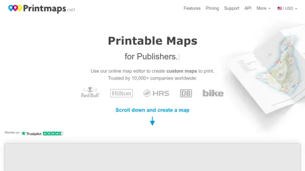 Printmaps Printable Maps for Print Designers
Printmaps.net is an online map editor that enables users to create custom high-resolution printable maps for various applications, trusted by over 10,000 companies worldwide.
- Paid
-
32
 Bike Computer Co. The most advanced GPS bike computer app with safety features for cyclists.
Bike Computer Co. is a mobile app that transforms smartphones into advanced GPS bike computers, offering comprehensive ride tracking, Strava integration, and an innovative accident detection system called KEEP ME SAFE™.
- Other
-
33
 Coffee in the Sun Never cold again. Your terrace always in the sun!
Coffee in the Sun is an AI-powered app that shows live sun and shadow locations on terraces, helping users find sunny spots for outdoor activities with smart filters and time travel features.
- Free
-
34
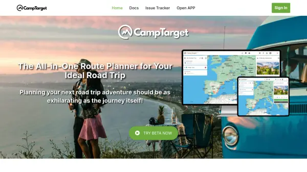 CampTarget The All-in-One Route Planner for Your Ideal Road Trip
CampTarget is an AI-powered road trip planning app designed for camper van and RV users, offering effortless route planning with automated stop suggestions and detailed point-of-interest information.
- Freemium
- From 3$
-
35
 MapTools Professional coordinate plotting tools for mapping and navigation
MapTools manufactures precision coordinate plotting tools for UTM, MGRS, USNG, and Latitude/Longitude systems, used by military, government agencies, and outdoor professionals worldwide.
- Other
-
36
 Audio Tour App Real-time location-based audio tours for independent explorers worldwide.
Audio Tour App is an AI-powered audio tour application that adapts to your location in real-time, providing personalized narration about your surroundings as you walk, with privacy-first data handling.
- Free
-
37
 Packr The ultimate travel packing list app
Packr is an AI-powered travel packing app that generates tailored packing lists based on weather forecasts and trip details, ensuring you never forget essential items.
- Freemium
- From 3$
-
38
 Survtapp Intuitive Survey Software for Online and Offline Data Collection
Survtapp is a comprehensive survey software offering powerful online and offline data collection tools for customer feedback, lead capture, employee engagement, and market research across web, iOS, and Android platforms.
- Freemium
- From 99$
-
39
 Road Rover Your all-in-one RV companion for maintenance, checklists, and journey tracking
Road Rover is an AI-powered mobile app designed specifically for RV owners to manage maintenance logs, create smart checklists, store important documents, and track visited states with an intuitive interface.
- Other
-
40
 10Adventures Personalized hiking, cycling, and adventure tours worldwide.
10Adventures offers customizable adventure tours with over 1,000 locally operated options, providing hassle-free travel experiences backed by world-class support.
- Contact for Pricing
-
41
 Snappy Mapper Democratising Geospatial Data
Snappy Mapper simplifies spatial data collection for non-technical users, enabling field teams to create GIS-ready data without specialist tools or training.
- Freemium
- From 190$
-
42
 Roadtrippers Plan Unforgettable Road Trips with Intelligent Itinerary Tools
Roadtrippers is a trip planning platform that leverages AI-powered features like its Autopilot itinerary planner to help users discover unique stops, optimize routes, and create memorable road trips for cars and RVs.
- Freemium
- From 3$
-
43
 PlayTours The Scavenger Hunt App For Everything
PlayTours is a versatile scavenger hunt app platform that enables users to create and run customizable games for team building, events, tourism, and education with real-time synchronization and no app installation required.
- Freemium
- From 35$
-
44
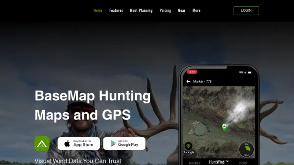 BaseMap Advanced Mobile Hunt Planning and Navigation with AI-Powered Insights
BaseMap is a comprehensive hunting platform offering AI-assisted hunt planning, guaranteed land ownership maps, and advanced navigation tools for outdoor enthusiasts across all 50 states.
- Paid
- From 4$
-
45
 Steptastic Virtually travel the World!
Steptastic is an iOS fitness app that transforms physical activity into virtual travel challenges, helping users stay motivated by tracking progress on global routes.
- Other
Didn't find tool you were looking for?