ReddRadar

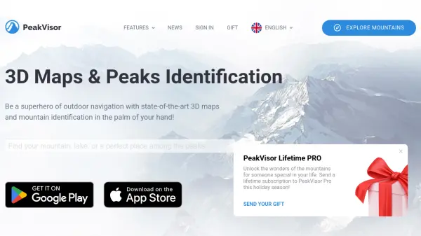

What is PeakVisor?
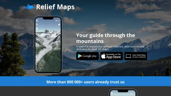
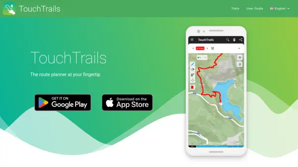
PeakVisor provides a comprehensive platform for outdoor navigation by combining state-of-the-art 3D maps with cutting-edge mountain identification technologies. Users can explore detailed topographies, visualize hiking and ski trails, and pinpoint summits, lakes, and landmarks using augmented reality. The app enables real-time identification of surrounding mountains through your camera or photo import, allowing you to label and share your adventures effortlessly.
The platform is built to function offline, making it an ideal tool for use in remote areas without internet access. With worldwide coverage, PeakVisor supports adventurers from the Alps to the Himalayas, featuring useful tools like sun and moon trails for timing, interactive ski lift information, a 3D compass, and altimeter. It caters to the needs of hikers, climbers, and photographers seeking detailed and practical mountain navigation solutions.
Features
- 3D Maps: Visualize detailed mountain landscapes and hiking or ski trails in three dimensions.
- Mountain Identification: Use augmented reality or photos to detect and label summits in real time.
- Offline Access: Download essential maps and data to navigate without internet connectivity.
- Worldwide Coverage: Supports mountain ranges and trails globally.
- Sun and Moon Trails: Plan hikes and photography using solar and lunar movement paths.
- Photo Import: Add and annotate photos, sharing peak names and altitudes with others.
- 3D Compass & Altimeter: Accurately measure orientation and elevation of terrain.
- Ski Lift Tracker: Check real-time ski lift and cable car status and resort information.
- Community Mountain Pulse: Connect with other users and see local hiking activity.
Use Cases
- Real-time identification of mountain peaks during hiking or climbing.
- Plan hiking, trekking, or skiing routes with immersive 3D visualization.
- Navigate offline in remote mountain areas without internet.
- Determine the best time for outdoor photography using sun and moon trails.
- Check open ski lifts and trail conditions at ski resorts.
- Share labeled landscapes with friends and social media.
- Track elevation and compass orientation during expeditions.
- Connect with fellow explorers for route inspiration.
FAQs
-
Can PeakVisor work without an internet connection?
Yes, PeakVisor allows users to download maps and use all navigation and identification features offline, making it suitable for remote areas without connectivity. -
How does PeakVisor identify mountain peaks?
The app utilizes augmented reality, 3D mapping, and photo import to detect and label mountain summits in real time, providing names and altitudes. -
What regions does PeakVisor cover?
PeakVisor offers global coverage, including all major and minor mountain ranges worldwide, and continually adds new regions. -
Can I share my labeled mountain photos?
Yes, users can capture, save, and share labeled photos with peak names and elevations directly from the app. -
Does PeakVisor provide information on ski lifts and cable cars?
PeakVisor includes real-time status and details of ski lifts and cable cars at popular ski resorts, available on interactive maps.