 ReddRadar

Terrain Navigator Pro - Alternatives & Competitors
Generating work flow efficiency and increasing return on investment for today’s mapping professionals
Terrain Navigator Pro is a comprehensive mapping platform that combines topographic maps and aerial photos with powerful mapping tools for creating, editing, and synchronizing map projects across desktop, web, and mobile devices.

Ranked by Relevance
-
1
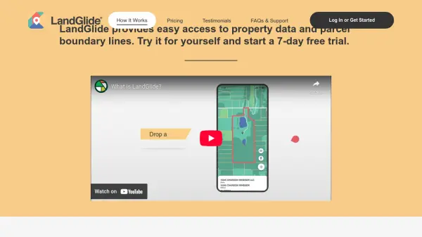 LandGlide Comprehensive Parcel Data and Property Line Mapping Anywhere
LandGlide offers advanced parcel data and property line mapping with GPS location, providing access to over 157 million U.S. parcel records on desktop and mobile devices.
- Freemium
- From 10$
-
2
 NextGIS All-in-one GIS platform for maps and geodata
NextGIS provides comprehensive GIS solutions with web, mobile, desktop, and server tools for creating, managing, and sharing spatial data and interactive maps.
- Contact for Pricing
-
3
 Mapline Geo-Powered Analytics and Mapping for Business Success
Mapline is a geo-intelligent analytics platform that empowers businesses to visualize, optimize, and manage location-based data through powerful mapping, routing, BI, and scheduling solutions.
- Free Trial
-
4
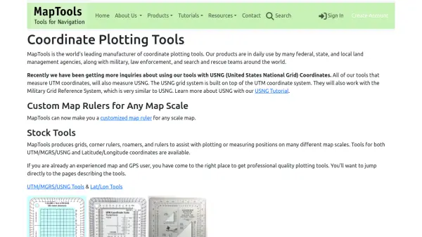 MapTools Professional coordinate plotting tools for mapping and navigation
MapTools manufactures precision coordinate plotting tools for UTM, MGRS, USNG, and Latitude/Longitude systems, used by military, government agencies, and outdoor professionals worldwide.
- Other
-
5
 TopoFusion Advanced GPS mapping software for route planning and track manipulation
TopoFusion is a powerful GPS mapping application for Windows that enables users to download maps from multiple servers and manipulate GPX/KML files for route planning and analysis.
- Freemium
-
6
 Snappy Mapper Democratising Geospatial Data
Snappy Mapper simplifies spatial data collection for non-technical users, enabling field teams to create GIS-ready data without specialist tools or training.
- Freemium
- From 190$
-
7
 NavigationPLANNER 7 Professional Navigation Software for Windows PCs
NavigationPLANNER 7 is a course planning software for Windows PCs that can be upgraded to PCPlotter for onboard chart plotting, designed for professional maritime users.
- Free Trial
-
8
 Carta Maps Build Custom Interactive Maps with Ease
Carta Maps is an AI-powered platform for creating custom interactive maps with intuitive styling tools, real-time collaboration, and advanced features like geocoding, boundary finding, and drawing tools.
- Freemium
- From 9$
-
9
 Mapit GIS Mobile GIS for asset collection, GPS surveys, and field data management
Mapit GIS is a professional mobile GIS platform for iOS and Android that enables offline-first data collection, GPS surveys, and field data management with support for GeoPackage, multiple export formats, and sub-metre GNSS accuracy.
- Other
-
10
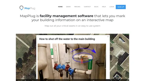 MapPlug Facility management software that lets you mark your building information on an interactive map
MapPlug is a cloud-based facility management software that enables users to document building assets, floor plans, and emergency procedures on interactive maps for improved property management and emergency response.
- Freemium
- From 49$
-
11
 PolicyMap Comprehensive Mapping & Data Analytics For Smarter Decision-Making
PolicyMap is a cloud-based platform offering extensive data mapping, visualization, and analytics tools, empowering users to make impactful, data-driven decisions across sectors such as government, non-profit, finance, academic, and healthcare.
- Contact for Pricing
-
12
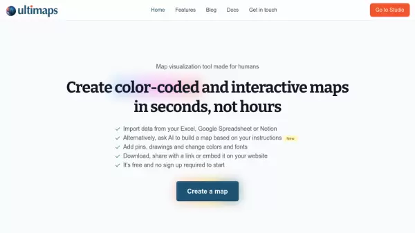 Ultimaps Map visualization tool made for humans
Ultimaps is an intuitive map visualization platform that allows users to create color-coded and interactive maps instantly by importing data from Excel, Google Spreadsheet, or Notion, with AI-assisted map creation capabilities.
- Freemium
- From 17$
-
13
 PropertyProof Get accurate property records instantly
PropertyProof provides instant access to comprehensive property records across the USA, including ownership details, market values, tax records, and financial transactions.
- Free Trial
- From 50$
-
14
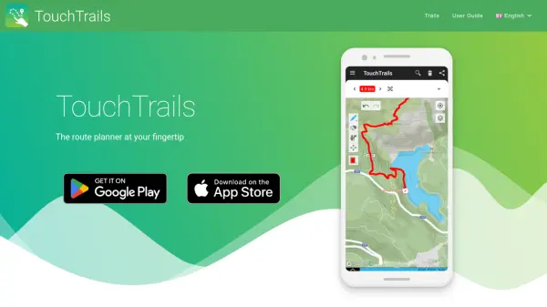 TouchTrails The route planner at your fingertip
TouchTrails is an AI-powered route planning tool that enables users to create, track, and navigate trails for hiking, running, and cycling with intuitive map-based drawing and GPX file support.
- Other
-
15
 GeoSurvey Professional Land Surveying and 3D Laser Scanning Services
GeoSurvey provides comprehensive land surveying and 3D laser scanning services with over 10,000 surveys completed since 1996, serving commercial, construction, and residential markets.
- Contact for Pricing
-
16
 Datum Workstation Advanced Geospatial Analysis and Image Processing Software
Datum Workstation delivers professional GIS, image processing, and terrain analysis solutions, integrating advanced tools for managing, visualizing, and publishing geospatial data on Windows and MacOS platforms.
- Contact for Pricing
-
17
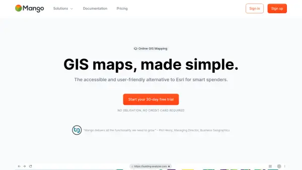 MangoMap Powerful, Affordable Online GIS Mapping for Professionals
MangoMap is an easy-to-use, cost-effective online GIS mapping platform designed for professionals who need robust mapping capabilities without the complexity or high licensing fees of traditional solutions.
- Paid
- From 79$
-
18
 Maply Transform location data into powerful insights with intuitive mapping
Maply is an intuitive online mapping application that helps businesses and professionals visualize and analyze geospatial data through heat maps, network maps, route optimization, and other advanced mapping features.
- Freemium
- From 15$
-
19
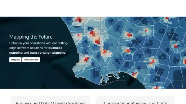 caliper.com Mapping the Future with Cutting-Edge Software Solutions
Caliper provides comprehensive mapping, GIS, and transportation software solutions for businesses and government agencies to analyze data, optimize operations, and plan strategically.
- Other
-
20
 3D Inspection Systems Efficient Inspection Reporting for Property Professionals
3D Inspection Systems offers robust and flexible inspection reporting software for home, building, marine, and environmental professionals, streamlining the creation of detailed inspection documents.
- Paid
-
21
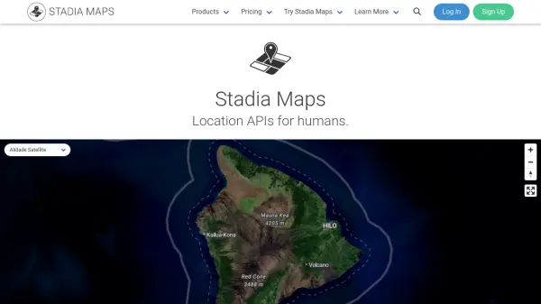 Stadia Maps Reliable Location APIs for Modern Applications
Stadia Maps delivers robust and privacy-focused location APIs, offering customizable maps, geocoding, routing, and satellite imagery for businesses and developers seeking scalable, cost-effective mapping solutions.
- Freemium
- From 20$
-
22
 Geospatial Analytics Real Estate Decision Intelligence Software
Geospatial Analytics delivers advanced real estate management technologies and analytical platform solutions, enabling portfolio optimization and informed decision-making through data-driven insights.
- Contact for Pricing
-
23
 Pix4D Professional photogrammetry and 3D mapping solutions for digitizing reality
Pix4D provides advanced photogrammetry software and cloud solutions for creating accurate 2D maps, 3D models, and point clouds from drone and terrestrial imagery, serving industries like surveying, construction, agriculture, and public safety.
- Freemium
-
24
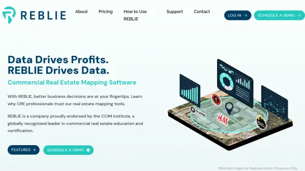 REBLIE Commercial Real Estate Mapping Software with AI-Powered Insights
REBLIE streamlines commercial real estate mapping by combining robust demographic data, GIS overlays, and AI-enhanced insights for agents, brokers, and CRE professionals.
- Paid
-
25
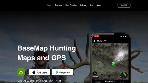 BaseMap Advanced Mobile Hunt Planning and Navigation with AI-Powered Insights
BaseMap is a comprehensive hunting platform offering AI-assisted hunt planning, guaranteed land ownership maps, and advanced navigation tools for outdoor enthusiasts across all 50 states.
- Paid
- From 4$
-
26
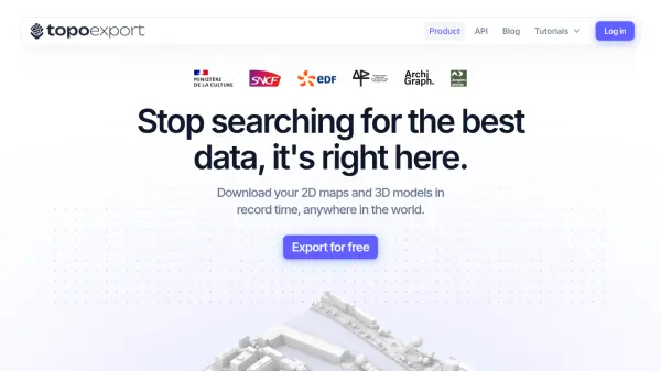 TopoExport Download 2D maps and 3D models in record time, anywhere in the world.
TopoExport is an AI-powered platform that enables professionals to quickly export customizable 2D topographic maps and 3D terrain models in various vector formats for architecture, urban planning, and design projects.
- Freemium
-
27
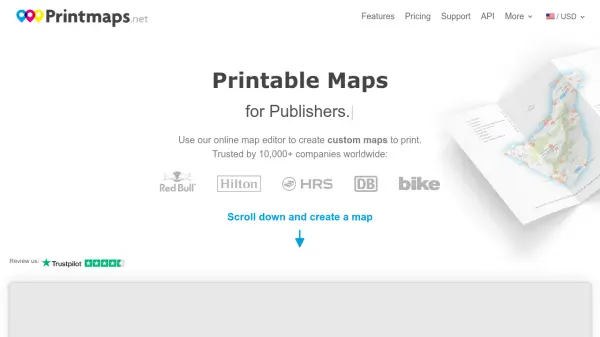 Printmaps Printable Maps for Print Designers
Printmaps.net is an online map editor that enables users to create custom high-resolution printable maps for various applications, trusted by over 10,000 companies worldwide.
- Paid
-
28
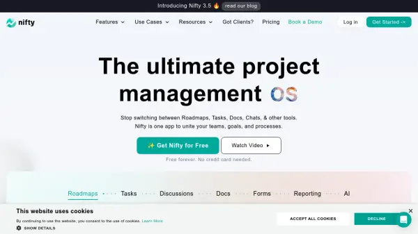 Nifty The ultimate project management OS
Nifty is a project management platform that unites teams, goals, and processes. It offers features like roadmaps, tasks, discussions, docs, and AI to streamline workflows.
- Freemium
- From 7$
-
29
 mapify.ai No-code platform to process real-time geospatial data and generate real-time insights
Mapify is a no-code platform that enables users to process real-time geospatial data, define business rules, and create interactive maps and applications for IoT and location-based solutions without coding.
- Free Trial
-
30
 SpatialPoint Location Intelligence for Powerful Business Decisions
SpatialPoint provides AI-powered location intelligence solutions including mapping, geocoding, address validation, and demographic analysis to solve complex business location challenges.
- Contact for Pricing
Didn't find tool you were looking for?