 ReddRadar

FlyPix AI Uptime Monitor
Geospatial AI Platform for Analyzing Earth's Surface
Last 30 Days Performance
Average Uptime
0%
Based on 30-day monitoring period
Average Response Time
0ms
Mean response time across all checks
Daily Status Overview
Hover for detailsHistorical Performance
Jan-2026
97.91% uptime
Monthly Uptime
97.91%
Monthly Response Time
1243ms
Daily Status Breakdown
Dec-2025
94.51% uptime
Monthly Uptime
94.51%
Monthly Response Time
1668ms
Daily Status Breakdown
Nov-2025
93.46% uptime
Monthly Uptime
93.46%
Monthly Response Time
957ms
Daily Status Breakdown
Oct-2025
93.68% uptime
Monthly Uptime
93.68%
Monthly Response Time
2049ms
Daily Status Breakdown
Sep-2025
90.36% uptime
Monthly Uptime
90.36%
Monthly Response Time
2053ms
Daily Status Breakdown
Aug-2025
95.34% uptime
Monthly Uptime
95.34%
Monthly Response Time
1809ms
Daily Status Breakdown
Jul-2025
88.54% uptime
Monthly Uptime
88.54%
Monthly Response Time
944ms
Daily Status Breakdown
Jun-2025
99.89% uptime
Monthly Uptime
99.89%
Monthly Response Time
490ms
Daily Status Breakdown
Related Uptime Monitors
Explore uptime status for similar tools that also have monitoring enabled.
-
 Operational
GeoAI
Harnessing AI and Spatial Data for Innovation
GeoAI combines Artificial Intelligence with geospatial engineering to analyze location-based data, satellite imagery, and advanced analytics for smarter decision-making in various industries.
Last checked: 1 month ago View Status -
 Operational
Picterra
Reliable GeoAI solution for sustainability, compliance, transparency, accountability, monitoring, and verification.
Picterra is a GeoAI platform that enables users to build and deploy custom AI models for geospatial imagery analysis. It supports various data types and offers solutions for multiple industries, facilitating scalable and collaborative geospatial analysis.
Last checked: 1 month ago View Status -
 Operational
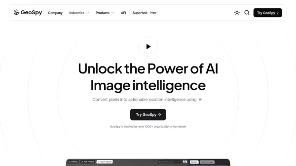
GeoSpy
Unlock the Power of AI Image intelligence
GeoSpy is an AI-powered platform that converts image data into precise GPS location predictions. It offers advanced location intelligence solutions for various organizations globally.
Last checked: 1 month ago View Status -
 Issues
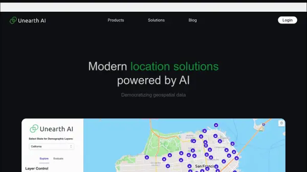
Unearth AI
Modern location solutions powered by AI
Unearth AI offers AI-powered geospatial data analysis tools. Products include Unearth Lite, a ChatGPT-powered location explorer, and Unearth Insights for enterprise geospatial analytics.
Last checked: 1 month ago View Status -
 Issues
Garudalytics
Solving real-world challenges using GeoAI.
Garudalytics provides Geospatial AI (GeoAI) solutions, extracting insights from location data to address challenges across various sectors.
Last checked: 1 month ago View Status -
 Operational
Atlas AI
The AI Platform for Geospatial Insights
Atlas AI is a geospatial AI platform providing hyperlocal socio-demographic indicators and forecasting tools, empowering data scientists with location intelligence.
Last checked: 1 month ago View Status