 ReddRadar

PeakVisor - Alternatives & Competitors
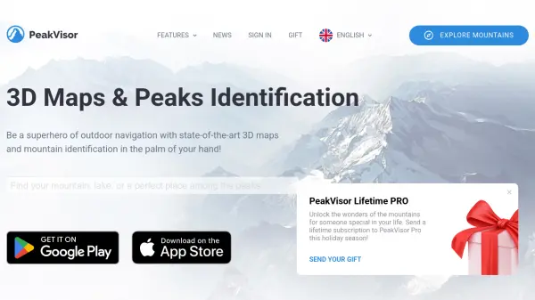
3D Maps & Real-Time Peak Identification for Mountain Explorers
PeakVisor is an advanced outdoor navigation app offering 3D maps, real-time mountain identification, and offline capabilities, designed for hikers, climbers, and outdoor enthusiasts worldwide.
Ranked by Relevance
-
1
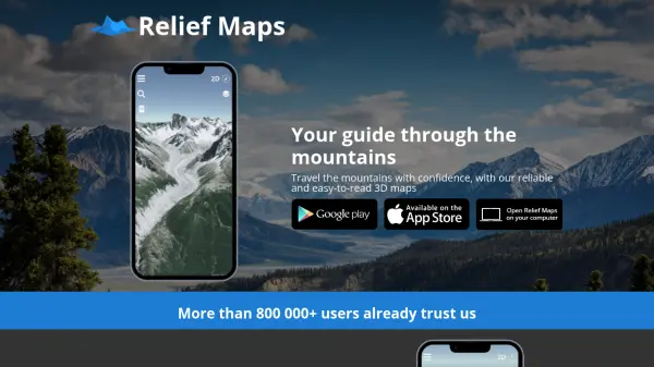 Relief Maps Your guide through the mountains
Relief Maps is a reliable and easy-to-read 3D mapping application for mountain travel, offering route creation, a database of over 1 million routes, and live tracking features.
- Other
-
2
 Footpath Plan your next adventure in seconds
Footpath is an AI-powered route planning app that enables users to create custom routes with distance measurement, elevation analysis, and turn-by-turn navigation using offline topographic maps.
- Freemium
- From 5$
-
3
 Guided Peaks Connect directly with expert mountaineering guides worldwide
Guided Peaks is an AI-powered platform that connects climbers with hundreds of certified mountaineering guides across 25 countries, offering detailed expedition comparisons, guide reviews, and curated mountain information.
- Other
-
4
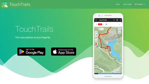 TouchTrails The route planner at your fingertip
TouchTrails is an AI-powered route planning tool that enables users to create, track, and navigate trails for hiking, running, and cycling with intuitive map-based drawing and GPX file support.
- Other
-
5
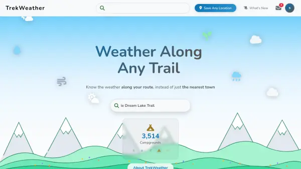 TrekWeather Know the weather along your route, instead of just the nearest town
TrekWeather provides hyper-local weather forecasts for outdoor adventures, offering AI-powered summaries, point forecasts along trails, and multi-model comparisons to help hikers, skiers, and campers plan safely.
- Freemium
-
6
 Hiking Project Discover your next hike with detailed maps shared by hikers like you
Hiking Project is a free community-driven platform that helps outdoor enthusiasts discover hiking trails worldwide, featuring detailed maps, trail information, and user-generated content.
- Free
-
7
 My Elevation Accurate elevation and location data for Android users worldwide
My Elevation is an Android application that provides precise surface elevation data using web-based sources, helping users explore terrain with features like Follow Me mode, search functionality, and customizable map options.
- Free
-
8
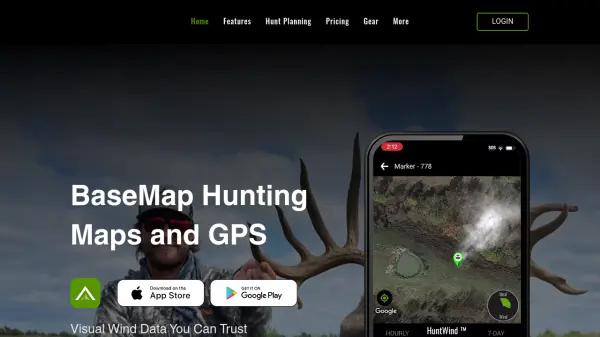 BaseMap Advanced Mobile Hunt Planning and Navigation with AI-Powered Insights
BaseMap is a comprehensive hunting platform offering AI-assisted hunt planning, guaranteed land ownership maps, and advanced navigation tools for outdoor enthusiasts across all 50 states.
- Paid
- From 4$
-
9
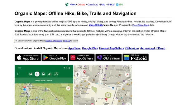 Organic Maps Privacy-focused offline maps & GPS app for hiking, cycling, biking, and driving
Organic Maps is a free, open-source offline navigation app that provides detailed maps, turn-by-turn guidance, and privacy protection for travelers, hikers, and cyclists without requiring an internet connection.
- Free
-
10
 Ferrata Guide Your via ferrata companion for finding, climbing, and rating via ferratas worldwide.
Ferrata Guide is a comprehensive platform and mobile app that helps climbers discover, plan, and track via ferrata routes globally, with features like maps, difficulty ratings, and community-driven content.
- Freemium
- From 2$
-
11
 Photo Ephemeris Plan the Perfect Shot with Celestial Accuracy
Photo Ephemeris is a comprehensive tool for photographers to plan outdoor photography by analyzing natural light, celestial events, and optimal shooting times using advanced map-based calculations.
- Paid
- From 4$
-
12
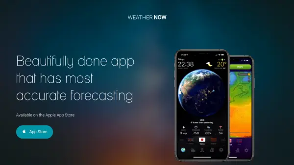 WEATHER NOW Accurate Global Weather Forecasts with Stunning 3D Visuals
WEATHER NOW is a weather app offering precise forecasts and immersive 3D imagery, available globally with real-time data updates.
- Paid
-
13
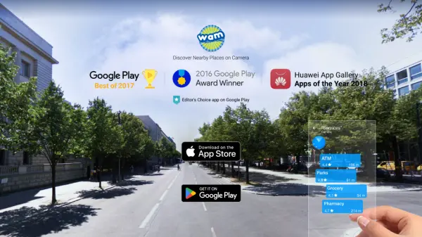 World Around Me Augmented reality travel and local discovery app
World Around Me is an augmented reality app that helps users quickly find nearby places and services using fast search capabilities and AR technology for travel and emergency situations.
- Paid
- From 39$
-
14
 Coffee in the Sun Never cold again. Your terrace always in the sun!
Coffee in the Sun is an AI-powered app that shows live sun and shadow locations on terraces, helping users find sunny spots for outdoor activities with smart filters and time travel features.
- Free
-
15
 GolfLogix Immersive 3D Golf GPS & Course Strategy App
GolfLogix is a state-of-the-art golf GPS app offering immersive 3D virtual reality views, real-time flyovers, advanced shot tracking, and green maps to help golfers strategize and improve their game on any course.
- Freemium
- From 6$
-
16
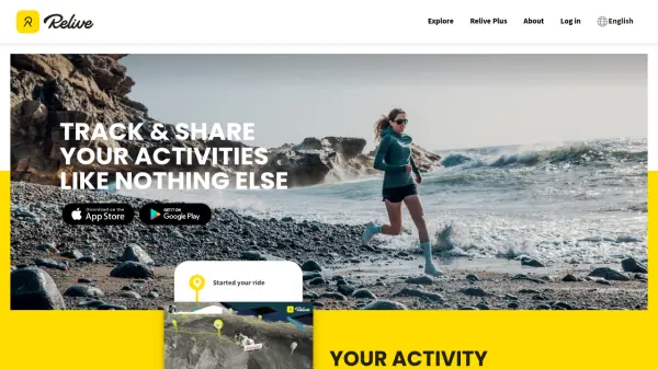 Relive Track & Share Your Activities Like Nothing Else
Relive is an AI-powered platform that transforms outdoor activities into beautiful animated 3D videos and stories, connecting millions of outdoor enthusiasts worldwide.
- Freemium
Didn't find tool you were looking for?