
Online Map Maker Uptime Monitor
Free, Easy-to-Use Online Mapping and Geodata Tools
Last 30 Days Performance
Average Uptime
96.87%
Based on 30-day monitoring period
Average Response Time
1143.97ms
Mean response time across all checks
Daily Status Overview
Hover for detailsHistorical Performance
Dec-2025
99.46% uptime
Monthly Uptime
99.46%
Monthly Response Time
520ms
Daily Status Breakdown
Nov-2025
98.88% uptime
Monthly Uptime
98.88%
Monthly Response Time
525ms
Daily Status Breakdown
Oct-2025
99.06% uptime
Monthly Uptime
99.06%
Monthly Response Time
646ms
Daily Status Breakdown
Sep-2025
98.06% uptime
Monthly Uptime
98.06%
Monthly Response Time
732ms
Daily Status Breakdown
Aug-2025
98.98% uptime
Monthly Uptime
98.98%
Monthly Response Time
1045ms
Daily Status Breakdown
Jul-2025
99.7% uptime
Monthly Uptime
99.7%
Monthly Response Time
794ms
Daily Status Breakdown
Jun-2025
100% uptime
Monthly Uptime
100%
Monthly Response Time
841ms
Daily Status Breakdown
Related Uptime Monitors
Explore uptime status for similar tools that also have monitoring enabled.
-
 Operational
Mapline
Geo-Powered Analytics and Mapping for Business Success
Mapline is a geo-intelligent analytics platform that empowers businesses to visualize, optimize, and manage location-based data through powerful mapping, routing, BI, and scheduling solutions.
Last checked: 4 hours ago View Status -
 Operational
Carta Maps
Build Custom Interactive Maps with Ease
Carta Maps is an AI-powered platform for creating custom interactive maps with intuitive styling tools, real-time collaboration, and advanced features like geocoding, boundary finding, and drawing tools.
Last checked: 4 hours ago View Status -
 Operational
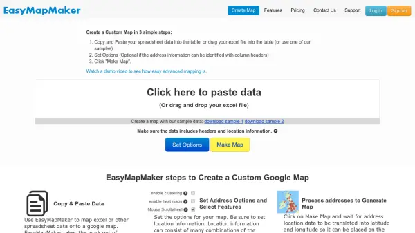
EasyMapMaker
Create Custom Google Maps from Spreadsheet Data in Minutes
EasyMapMaker transforms spreadsheet data into interactive Google Maps with automatic geocoding, clustering, and heat maps for data visualization and analysis.
Last checked: 4 hours ago View Status -
 Operational
Maply
Transform location data into powerful insights with intuitive mapping
Maply is an intuitive online mapping application that helps businesses and professionals visualize and analyze geospatial data through heat maps, network maps, route optimization, and other advanced mapping features.
Last checked: 4 hours ago View Status -
 Operational
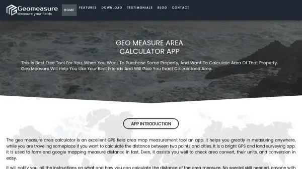
Geomeasure
Measure Your Fields with Precision
Geomeasure is a free GPS field area map measurement tool that calculates property areas and distances using manual, GPS, and free-hand methods for real estate, agriculture, and land surveying.
Last checked: 4 hours ago View Status -
 Operational
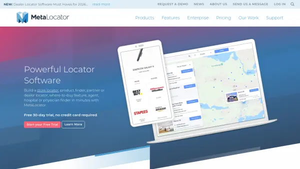
MetaLocator
Powerful locator software to build store, dealer, and partner finders in minutes
MetaLocator is a comprehensive locator software platform that enables businesses to create store locators, dealer finders, and location-based search applications with over 300 features and a free 30-day trial.
Last checked: 4 hours ago View Status