 ReddRadar

Geomeasure Uptime Monitor
Measure Your Fields with Precision
Last 30 Days Performance
Average Uptime
0%
Based on 30-day monitoring period
Average Response Time
0ms
Mean response time across all checks
Daily Status Overview
Hover for detailsRelated Uptime Monitors
Explore uptime status for similar tools that also have monitoring enabled.
-
 Operational
Perimeter
Measure and Blueprint Outdoor Spaces with AR
Perimeter is an iPhone app utilizing Augmented Reality (AR) to measure and create blueprints for outdoor areas. Easily capture area, perimeter, and line lengths, save measurements, and export detailed PDF blueprints.
Last checked: 1 month ago View Status -
 Operational
Mapit GIS
Mobile GIS for asset collection, GPS surveys, and field data management
Mapit GIS is a professional mobile GIS platform for iOS and Android that enables offline-first data collection, GPS surveys, and field data management with support for GeoPackage, multiple export formats, and sub-metre GNSS accuracy.
Last checked: 1 month ago View Status -
 Operational
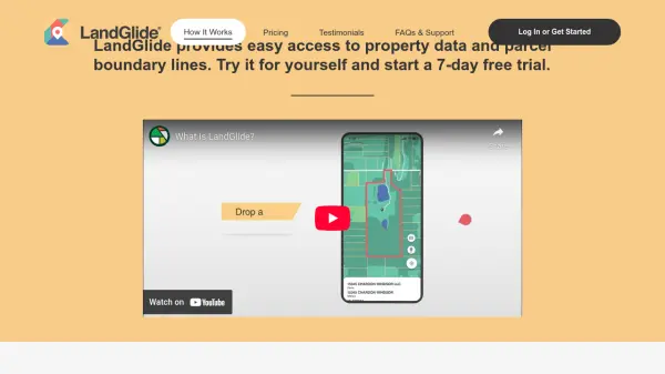
LandGlide
Comprehensive Parcel Data and Property Line Mapping Anywhere
LandGlide offers advanced parcel data and property line mapping with GPS location, providing access to over 157 million U.S. parcel records on desktop and mobile devices.
Last checked: 1 month ago View Status -
 Operational
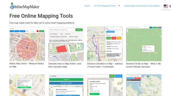
Online Map Maker
Free, Easy-to-Use Online Mapping and Geodata Tools
Online Map Maker provides a suite of free web-based mapping tools for calculating areas, distances, elevations, zip codes, and more through an intuitive interface. The platform supports geographic data visualization, conversion, and analysis for students, professionals, and planners.
Last checked: 1 month ago View Status -
 Operational
GeoSurvey
Professional Land Surveying and 3D Laser Scanning Services
GeoSurvey provides comprehensive land surveying and 3D laser scanning services with over 10,000 surveys completed since 1996, serving commercial, construction, and residential markets.
Last checked: 1 month ago View Status -
 Operational
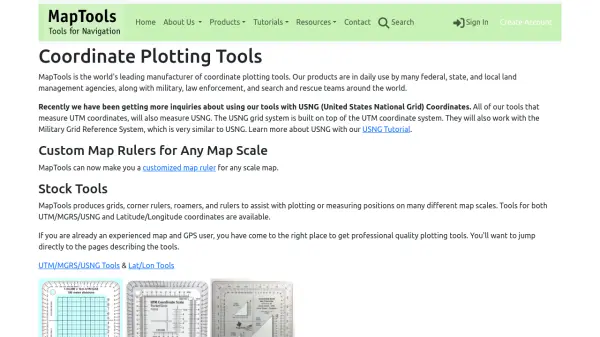
MapTools
Professional coordinate plotting tools for mapping and navigation
MapTools manufactures precision coordinate plotting tools for UTM, MGRS, USNG, and Latitude/Longitude systems, used by military, government agencies, and outdoor professionals worldwide.
Last checked: 1 month ago View Status