 ReddRadar

Blackshark.ai Uptime Monitor
Real-time Semantic 3D Digital Twin of the Planet
Last 30 Days Performance
Average Uptime
0%
Based on 30-day monitoring period
Average Response Time
0ms
Mean response time across all checks
Daily Status Overview
Hover for detailsHistorical Performance
Jan-2026
100% uptime
Monthly Uptime
100%
Monthly Response Time
136ms
Daily Status Breakdown
Dec-2025
99.86% uptime
Monthly Uptime
99.86%
Monthly Response Time
151ms
Daily Status Breakdown
Nov-2025
99.24% uptime
Monthly Uptime
99.24%
Monthly Response Time
168ms
Daily Status Breakdown
Oct-2025
99.87% uptime
Monthly Uptime
99.87%
Monthly Response Time
175ms
Daily Status Breakdown
Sep-2025
100% uptime
Monthly Uptime
100%
Monthly Response Time
231ms
Daily Status Breakdown
Aug-2025
99.86% uptime
Monthly Uptime
99.86%
Monthly Response Time
254ms
Daily Status Breakdown
Jul-2025
99.73% uptime
Monthly Uptime
99.73%
Monthly Response Time
248ms
Daily Status Breakdown
Jun-2025
100% uptime
Monthly Uptime
100%
Monthly Response Time
628ms
Daily Status Breakdown
Related Uptime Monitors
Explore uptime status for similar tools that also have monitoring enabled.
-
 Operational
GeoAI
Harnessing AI and Spatial Data for Innovation
GeoAI combines Artificial Intelligence with geospatial engineering to analyze location-based data, satellite imagery, and advanced analytics for smarter decision-making in various industries.
Last checked: 1 month ago View Status -
 Operational
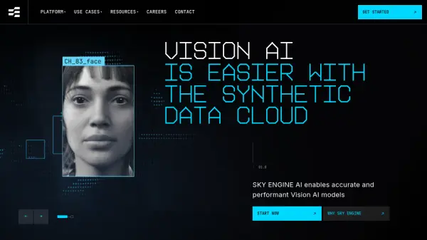
SKY ENGINE AI
Synthetic Data Cloud for Vision AI
SKY ENGINE AI provides a 3D Generative AI Synthetic Data Cloud platform, enabling the creation of high-performing Vision AI models with improved accuracy and reduced development time.
Last checked: 1 month ago View Status -
 Operational
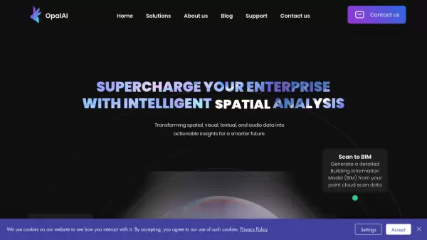
OpalAI
Transforming spatial data into actionable insights with intelligent analysis
OpalAI is an advanced AI platform that converts spatial, visual, and point cloud data into detailed 3D models, BIM (Building Information Models), and actionable insights for various industries.
Last checked: 1 month ago View Status -
 Operational
FlyPix AI
Geospatial AI Platform for Analyzing Earth's Surface
FlyPix AI is a geospatial analysis platform that uses AI to detect and analyze objects in images. Train custom AI models and analyze geospatial data tied to coordinates.
Last checked: 1 month ago View Status -
 Operational
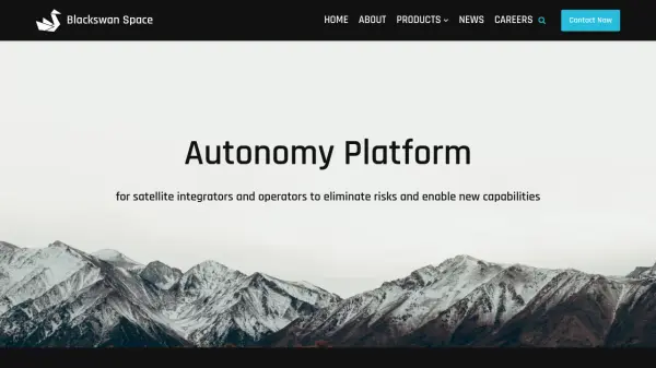
Blackswan Space
Autonomy Platform for satellite integrators and operators to eliminate risks and enable new capabilities
Blackswan Space provides advanced AI-powered solutions for space missions, including mission simulation, vision-based navigation, and robotic control systems for satellites and space operations.
Last checked: 1 month ago View Status -
 Operational
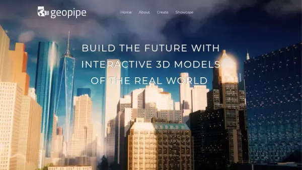
Geopipe
Build the Future with Interactive 3D Models of the Real World
Geopipe uses AI to create interactive 3D models of real-world environments from sensor data. Stream vast digital twins directly into Unity, Unreal Engine, or download as 3D meshes for simulations, gaming, and VR experiences.
Last checked: 1 month ago View Status