
3DF Zephyr - Alternatives & Competitors
The Complete Photogrammetry Solution
3DF Zephyr is an all-in-one photogrammetry software suite that automatically reconstructs 3D models from photos and videos, supporting various cameras and sensors for applications in surveying, construction, cultural heritage, and more.
Ranked by Relevance
-
1
 Pix4D Professional photogrammetry and 3D mapping solutions for digitizing reality
Pix4D provides advanced photogrammetry software and cloud solutions for creating accurate 2D maps, 3D models, and point clouds from drone and terrestrial imagery, serving industries like surveying, construction, agriculture, and public safety.
- Freemium
-
2
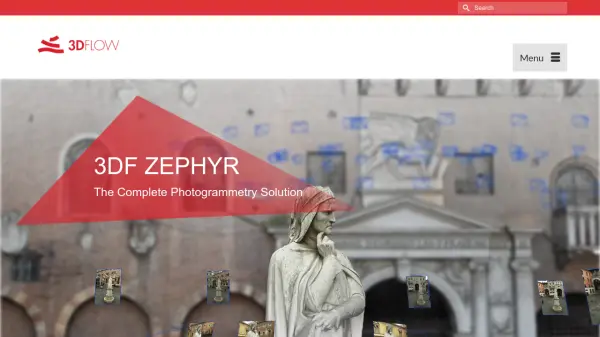
 RealityCapture Create realistic 3D models from photos
RealityCapture is a photogrammetry software that enables users to create realistic 3D models from photos and laser scans for various applications.
- Paid
-
3
 Polycam 3D scanning platform - Digitize spaces and objects with precision
Polycam is a comprehensive 3D scanning platform that enables users to create, measure, and share 3D models of spaces and objects using LiDAR, photogrammetry, and 360-degree imaging technologies.
- Freemium
- From 25$
-
4
 Artec 3D Professional 3D scanning solutions revolutionizing workflows across industries
Artec 3D provides advanced 3D scanning technology and software solutions for industrial, medical, scientific, and creative applications, offering metrology-grade accuracy and intuitive workflows.
- Contact for Pricing
-
5
 GeoSurvey Professional Land Surveying and 3D Laser Scanning Services
GeoSurvey provides comprehensive land surveying and 3D laser scanning services with over 10,000 surveys completed since 1996, serving commercial, construction, and residential markets.
- Contact for Pricing
-
6
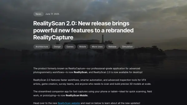
 360Fly Capture all of life with 360-degree high-resolution camera technology
360Fly offers advanced 360-degree cameras with a special ecosystem for capturing complete panoramic views in high resolution, ideal for professional documentation and creative content.
- Other
-
7
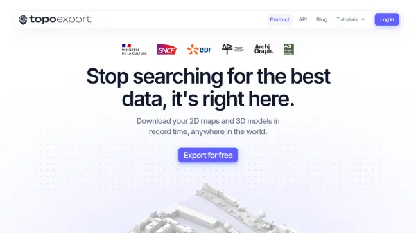 TopoExport Download 2D maps and 3D models in record time, anywhere in the world.
TopoExport is an AI-powered platform that enables professionals to quickly export customizable 2D topographic maps and 3D terrain models in various vector formats for architecture, urban planning, and design projects.
- Freemium
Didn't find tool you were looking for?