 ReddRadar

Tile38 - Alternatives & Competitors
Ultra Fast Geospatial Database & Geofencing Server
Tile38 is an open-source geospatial database and geofencing server that delivers real-time location-based notifications and high-performance spatial indexing for applications.

Ranked by Relevance
-
1
 Geospatial Cloud Serv Advanced geospatial data serving and microservices for comprehensive GIS solutions
Geospatial Cloud Serv provides a powerful self-hosted solution for advanced geospatial data serving, microservices, and APIs, compatible with various GIS platforms and mobile applications.
- Pay Once
-
2
 GeoDataSource Comprehensive World Cities Database for Developers and Businesses
GeoDataSource provides a comprehensive world cities database with 3 million city features across 249 countries, offering accurate location data including names, coordinates, and administrative divisions for integration into various database systems.
- Freemium
-
3
 Geospatial Analytics Real Estate Decision Intelligence Software
Geospatial Analytics delivers advanced real estate management technologies and analytical platform solutions, enabling portfolio optimization and informed decision-making through data-driven insights.
- Contact for Pricing
-
4
 Mapline Geo-Powered Analytics and Mapping for Business Success
Mapline is a geo-intelligent analytics platform that empowers businesses to visualize, optimize, and manage location-based data through powerful mapping, routing, BI, and scheduling solutions.
- Free Trial
-
5
 NextGIS All-in-one GIS platform for maps and geodata
NextGIS provides comprehensive GIS solutions with web, mobile, desktop, and server tools for creating, managing, and sharing spatial data and interactive maps.
- Contact for Pricing
-
6
 SpatialPoint Location Intelligence for Powerful Business Decisions
SpatialPoint provides AI-powered location intelligence solutions including mapping, geocoding, address validation, and demographic analysis to solve complex business location challenges.
- Contact for Pricing
-
7
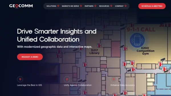 GeoComm GIS Solutions for Enhanced Emergency Response and Public Safety
GeoComm delivers advanced GIS mapping software and services designed to improve emergency response, school safety, and data management for public safety agencies and educational institutions.
- Contact for Pricing
-
8
 Snappy Mapper Democratising Geospatial Data
Snappy Mapper simplifies spatial data collection for non-technical users, enabling field teams to create GIS-ready data without specialist tools or training.
- Freemium
- From 190$
-
9
 geoPlugin Geolocation Plugin to Personalize, Target, and Boost Conversions
geoPlugin is a geolocation API service that provides real-time IP geolocation and reverse geocoding to identify visitor locations, enabling personalized content delivery and enhanced user engagement.
- Contact for Pricing
-
10
 Datum Workstation Advanced Geospatial Analysis and Image Processing Software
Datum Workstation delivers professional GIS, image processing, and terrain analysis solutions, integrating advanced tools for managing, visualizing, and publishing geospatial data on Windows and MacOS platforms.
- Contact for Pricing
-
11
 Mapit GIS Mobile GIS for asset collection, GPS surveys, and field data management
Mapit GIS is a professional mobile GIS platform for iOS and Android that enables offline-first data collection, GPS surveys, and field data management with support for GeoPackage, multiple export formats, and sub-metre GNSS accuracy.
- Other
-
12
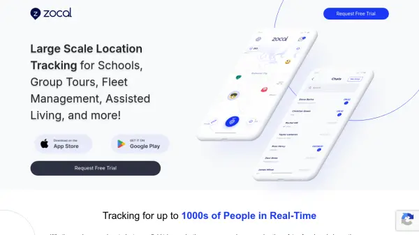 Zocal Large Scale Location Tracking for Organizations
Zocal is a real-time location tracking platform designed for large groups, including schools, fleet management, and assisted living, with a focus on privacy and battery efficiency.
- Contact for Pricing
-
13
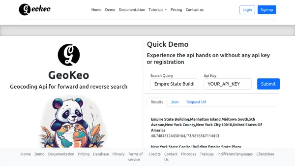 GeoKeo Blazing fast geocoding API with worldwide coverage
GeoKeo is an AI-powered geocoding API service offering forward and reverse search capabilities with fast response times, worldwide coverage, and support for multiple programming languages.
- Freemium
Didn't find tool you were looking for?