 ReddRadar

Pix4D Uptime Monitor
Professional photogrammetry and 3D mapping solutions for digitizing reality
Last 30 Days Performance
Average Uptime
0%
Based on 30-day monitoring period
Average Response Time
0ms
Mean response time across all checks
Daily Status Overview
Hover for detailsRelated Uptime Monitors
Explore uptime status for similar tools that also have monitoring enabled.
-
 Operational
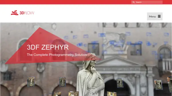
3DF Zephyr
The Complete Photogrammetry Solution
3DF Zephyr is an all-in-one photogrammetry software suite that automatically reconstructs 3D models from photos and videos, supporting various cameras and sensors for applications in surveying, construction, cultural heritage, and more.
Last checked: 1 month ago View Status -
 Operational
Polycam
3D scanning platform - Digitize spaces and objects with precision
Polycam is a comprehensive 3D scanning platform that enables users to create, measure, and share 3D models of spaces and objects using LiDAR, photogrammetry, and 360-degree imaging technologies.
Last checked: 1 month ago View Status -
 Operational
Artec 3D
Professional 3D scanning solutions revolutionizing workflows across industries
Artec 3D provides advanced 3D scanning technology and software solutions for industrial, medical, scientific, and creative applications, offering metrology-grade accuracy and intuitive workflows.
Last checked: 1 month ago View Status -
 Operational
GeoSurvey
Professional Land Surveying and 3D Laser Scanning Services
GeoSurvey provides comprehensive land surveying and 3D laser scanning services with over 10,000 surveys completed since 1996, serving commercial, construction, and residential markets.
Last checked: 1 month ago View Status -
 Operational
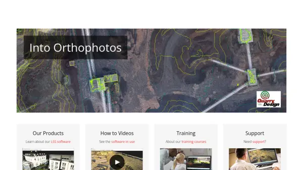
LSS
Industry Leading Digital Terrain Modelling System for Surveying and Design
LSS is a comprehensive land survey and terrain modelling software used for converting point clouds into orthophotos, generating DTMs from LiDAR, and performing topographical surveys, design, and visualisation tasks.
Last checked: 1 month ago View Status -
 Operational
TopoExport
Download 2D maps and 3D models in record time, anywhere in the world.
TopoExport is an AI-powered platform that enables professionals to quickly export customizable 2D topographic maps and 3D terrain models in various vector formats for architecture, urban planning, and design projects.
Last checked: 1 month ago View Status