 ReddRadar

Datum Workstation - Alternatives & Competitors
Advanced Geospatial Analysis and Image Processing Software
Datum Workstation delivers professional GIS, image processing, and terrain analysis solutions, integrating advanced tools for managing, visualizing, and publishing geospatial data on Windows and MacOS platforms.

Ranked by Relevance
-
1
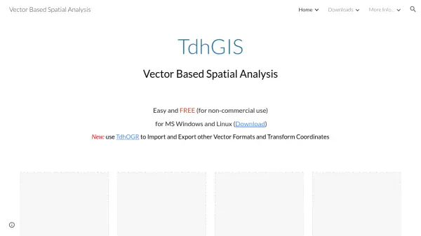 TdhGIS Free Vector-Based Spatial Analysis Software for Windows and Linux
TdhGIS is a free vector-based spatial analysis software for non-commercial use on Windows and Linux, offering tools for creating, editing, and analyzing geographic data with features like importing Shapefiles and OpenStreetMap data, allocating point and polygon data, and creating thiessen polygons and contours.
- Free
-
2
 NextGIS All-in-one GIS platform for maps and geodata
NextGIS provides comprehensive GIS solutions with web, mobile, desktop, and server tools for creating, managing, and sharing spatial data and interactive maps.
- Contact for Pricing
-
3
 Terrain Navigator Pro Generating work flow efficiency and increasing return on investment for today’s mapping professionals
Terrain Navigator Pro is a comprehensive mapping platform that combines topographic maps and aerial photos with powerful mapping tools for creating, editing, and synchronizing map projects across desktop, web, and mobile devices.
- Free Trial
-
4
 Pix4D Professional photogrammetry and 3D mapping solutions for digitizing reality
Pix4D provides advanced photogrammetry software and cloud solutions for creating accurate 2D maps, 3D models, and point clouds from drone and terrestrial imagery, serving industries like surveying, construction, agriculture, and public safety.
- Freemium
-
5
 Tile38 Ultra Fast Geospatial Database & Geofencing Server
Tile38 is an open-source geospatial database and geofencing server that delivers real-time location-based notifications and high-performance spatial indexing for applications.
- Other
-
6
 Geospatial Cloud Serv Advanced geospatial data serving and microservices for comprehensive GIS solutions
Geospatial Cloud Serv provides a powerful self-hosted solution for advanced geospatial data serving, microservices, and APIs, compatible with various GIS platforms and mobile applications.
- Pay Once
Didn't find tool you were looking for?