 ReddRadar
Top AI tools for geospatial
-
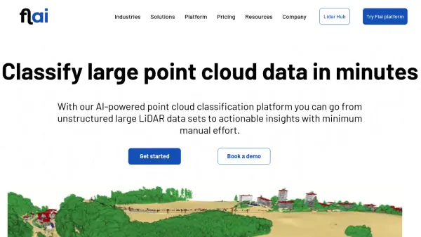 Flai AI-powered point cloud classification platform for LiDAR data processing
Flai is an advanced platform that transforms unstructured LiDAR datasets into actionable insights through AI-powered point cloud classification, offering both cloud-based and self-hosted solutions for efficient data processing.
- Freemium
- From 20$
-
 4M Analytics The ultimate source of utility data
4M Analytics is an AI-powered utility mapping and analytics platform that provides real-time utility data and infrastructure mapping solutions for project owners, engineers, and contractors during early-stage infrastructure development.
- Contact for Pricing
-
 Dvina Visualize, analyze, and gain instant insights with AI for data-driven decision making
Dvina is an AI-powered analytics platform that helps users visualize, analyze, and gain instant insights from multiple data sources, featuring geospatial analysis, anomaly detection, and real-time reporting capabilities.
- Freemium
- From 72$
-
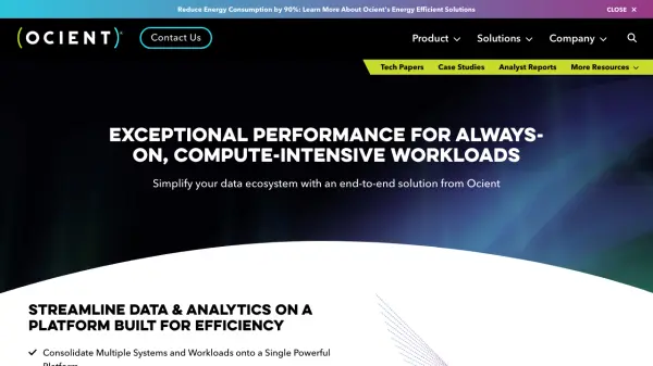 Ocient Hyperscale Data Warehouse Real-time analysis of complex, hyperscale datasets with 90% reduced energy consumption
Ocient is a hyperscale data warehouse platform that delivers real-time analytics and OLAP workloads with integrated machine learning capabilities, designed for maximum performance while reducing costs and energy consumption.
- Contact for Pricing
-
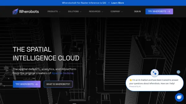 Wherobots The Spatial Intelligence Cloud for Planetary-Scale Analytics
Wherobots is a comprehensive spatial data platform that combines ETL, analytics, and AI capabilities for processing geospatial data at scale, created by the original developers of Apache Sedona.
- Freemium
-
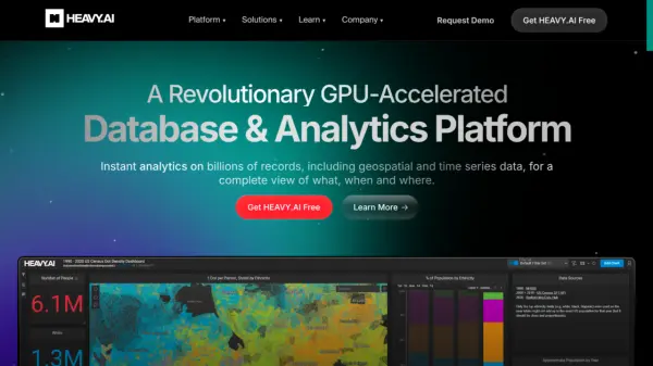 HEAVY.AI Instant Analytics on Billions of Records
HEAVY.AI is a revolutionary GPU-accelerated database and analytics platform providing instant insights on billions of records, including geospatial and time series data.
- Freemium
-
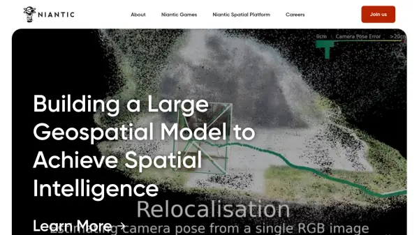 Niantic Building Spatial Intelligence for Real-World Interaction
Niantic develops spatial intelligence and augmented reality (AR) solutions. Their platform transforms how people and machines understand and interact with the physical world.
- Contact for Pricing
-
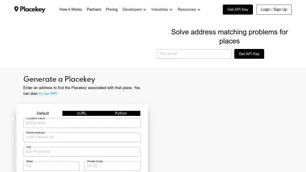 Placekey Solve address matching problems for places
Placekey provides a universal identifier for any physical place, simplifying data sharing and solving address matching challenges across organizations using a unique 'What@Where' format.
- Freemium
- From 200$
-
 Atlas AI The AI Platform for Geospatial Insights
Atlas AI is a geospatial AI platform providing hyperlocal socio-demographic indicators and forecasting tools, empowering data scientists with location intelligence.
- Contact for Pricing
-
 Every Door The best OpenStreetMap editor for POIs and entrances.
Every Door is an open-source OpenStreetMap editor designed for mapping points of interest, entrances, and micro-mapping features with offline capabilities and AI-assisted data validation.
- Free
-
 Geospatial Cloud Serv Advanced geospatial data serving and microservices for comprehensive GIS solutions
Geospatial Cloud Serv provides a powerful self-hosted solution for advanced geospatial data serving, microservices, and APIs, compatible with various GIS platforms and mobile applications.
- Pay Once
-
 Snappy Mapper Democratising Geospatial Data
Snappy Mapper simplifies spatial data collection for non-technical users, enabling field teams to create GIS-ready data without specialist tools or training.
- Freemium
- From 190$
-
 Instant Street View Instantly explore any location with Google Street View
Instant Street View is an AI-powered tool that provides immediate access to Google Street View imagery by simply typing an address or place name, enabling users to explore locations worldwide with ease.
- Freemium
- From 6$
-
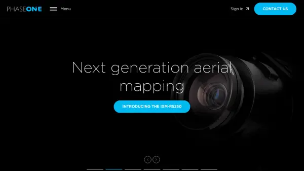 Phase One High-Resolution Digital Imaging Technology for Professional Applications
Phase One delivers exceptional high-resolution digital imaging solutions for geospatial mapping, cultural heritage preservation, space exploration, and professional photography with superior image quality and precision.
- Contact for Pricing
Explore More Tags
-
compliance tools 77 tools
-
GDPR 57 tools
-
legal research 48 tools
-
productivity 231 tools
-
document interaction 31 tools
-
content analysis 116 tools
-
audio transcription 71 tools
-
video transcription 81 tools
-
meeting minutes 20 tools
Didn't find tool you were looking for?