MCPs tagged with geospatial

-
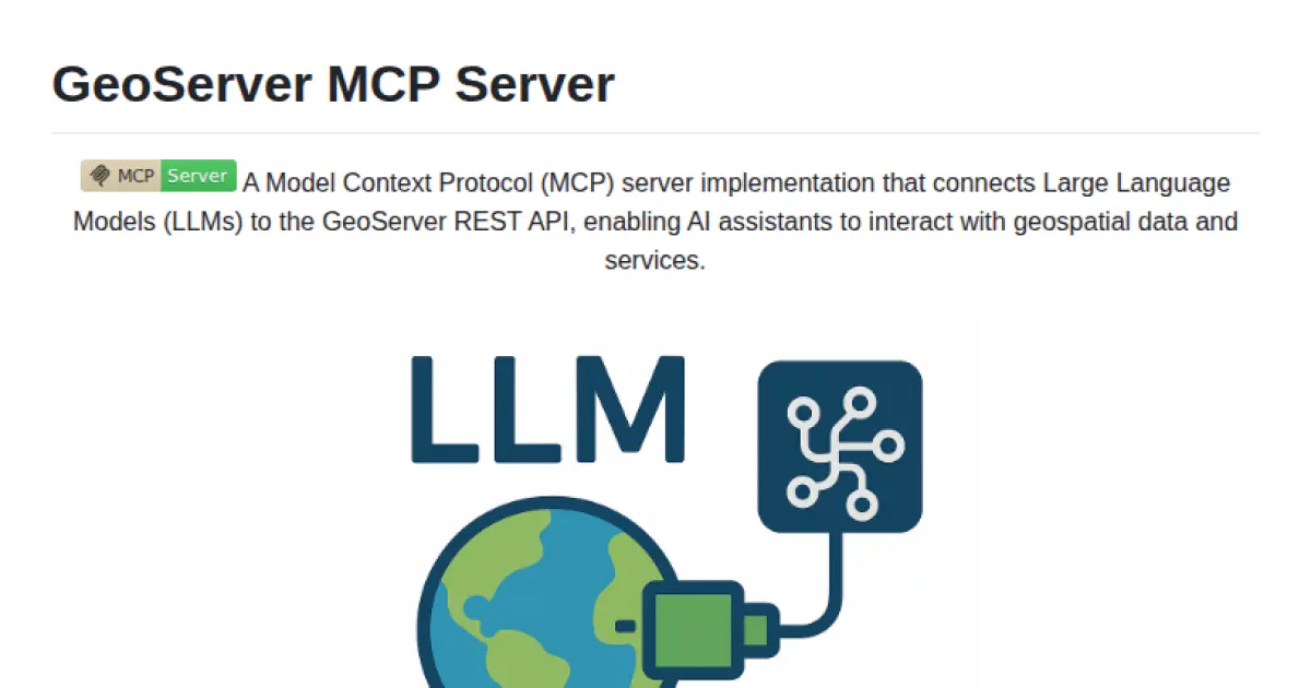
GeoServer MCP Server
Connect LLMs to GeoServer for geospatial data management and AI-driven queries.
GeoServer MCP Server implements the Model Context Protocol, enabling seamless integration between Large Language Models (LLMs) and the GeoServer REST API. It allows AI assistants to interact with, query, and manipulate geospatial data and services through standardized interfaces. The server supports management of workspaces, layers, and spatial queries, as well as rendering geospatial visualizations. Installation is supported via Docker, pip, and integration tools like Smithery, with compatibility for clients such as Claude Desktop and Cursor.
- ⭐ 43
- MCP
- mahdin75/geoserver-mcp
-
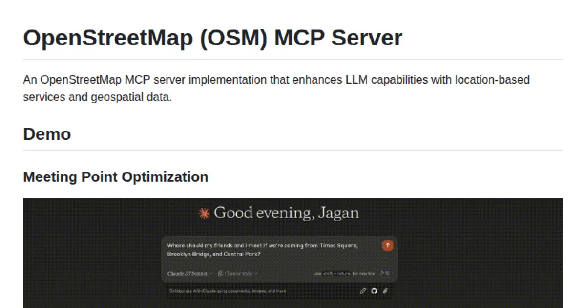
OpenStreetMap MCP Server
Enhancing LLMs with geospatial and location-based capabilities via the Model Context Protocol.
OpenStreetMap MCP Server enables large language models to interact with rich geospatial data and location-based services through a standardized protocol. It provides APIs and tools for address geocoding, reverse geocoding, points of interest search, route directions, and neighborhood analysis. The server exposes location-related resources and tools, making it compatible with MCP hosts for seamless LLM integration.
- ⭐ 134
- MCP
- jagan-shanmugam/open-streetmap-mcp